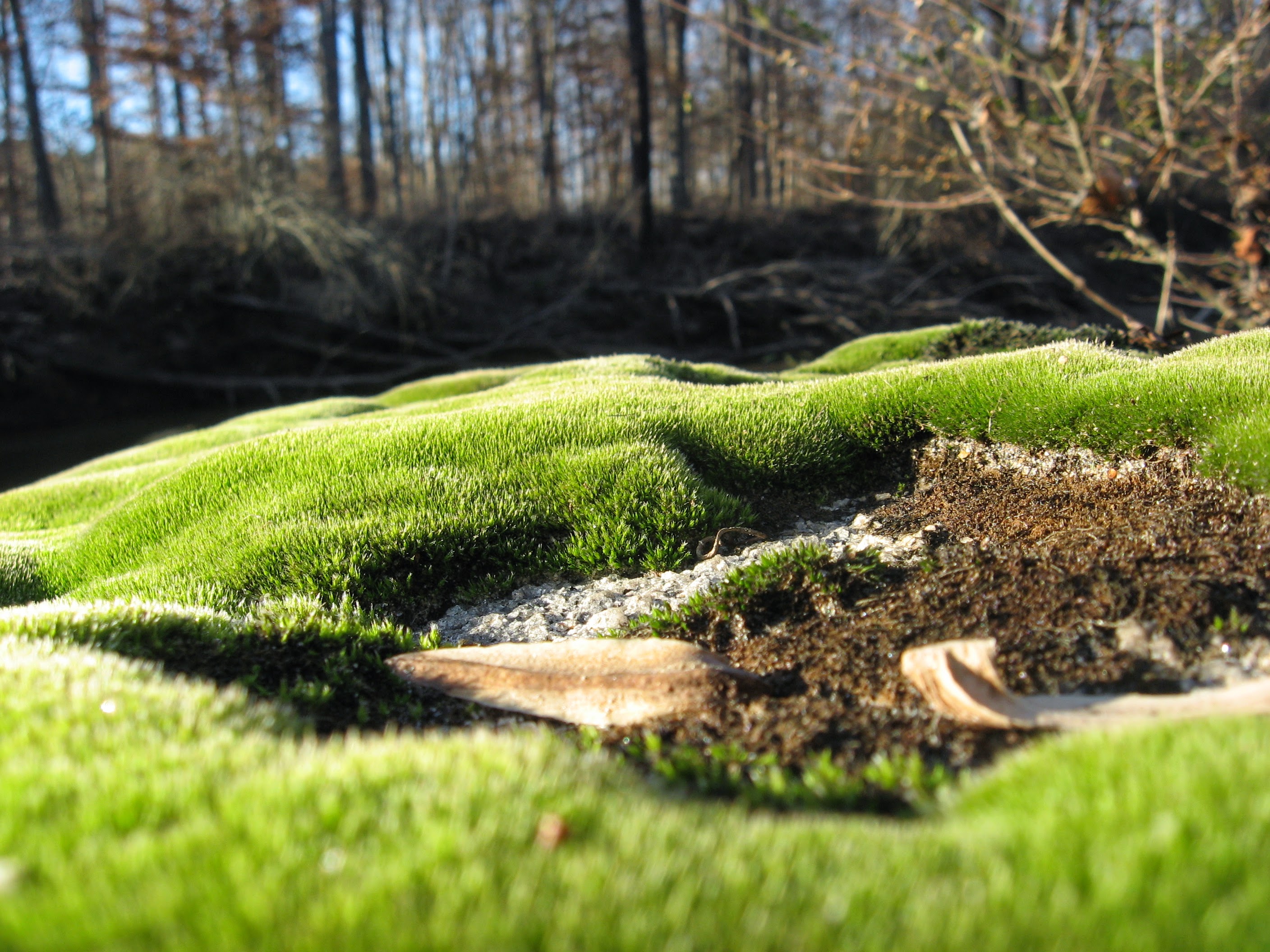
moss on a rock outcrop by lower Crabtree Creek
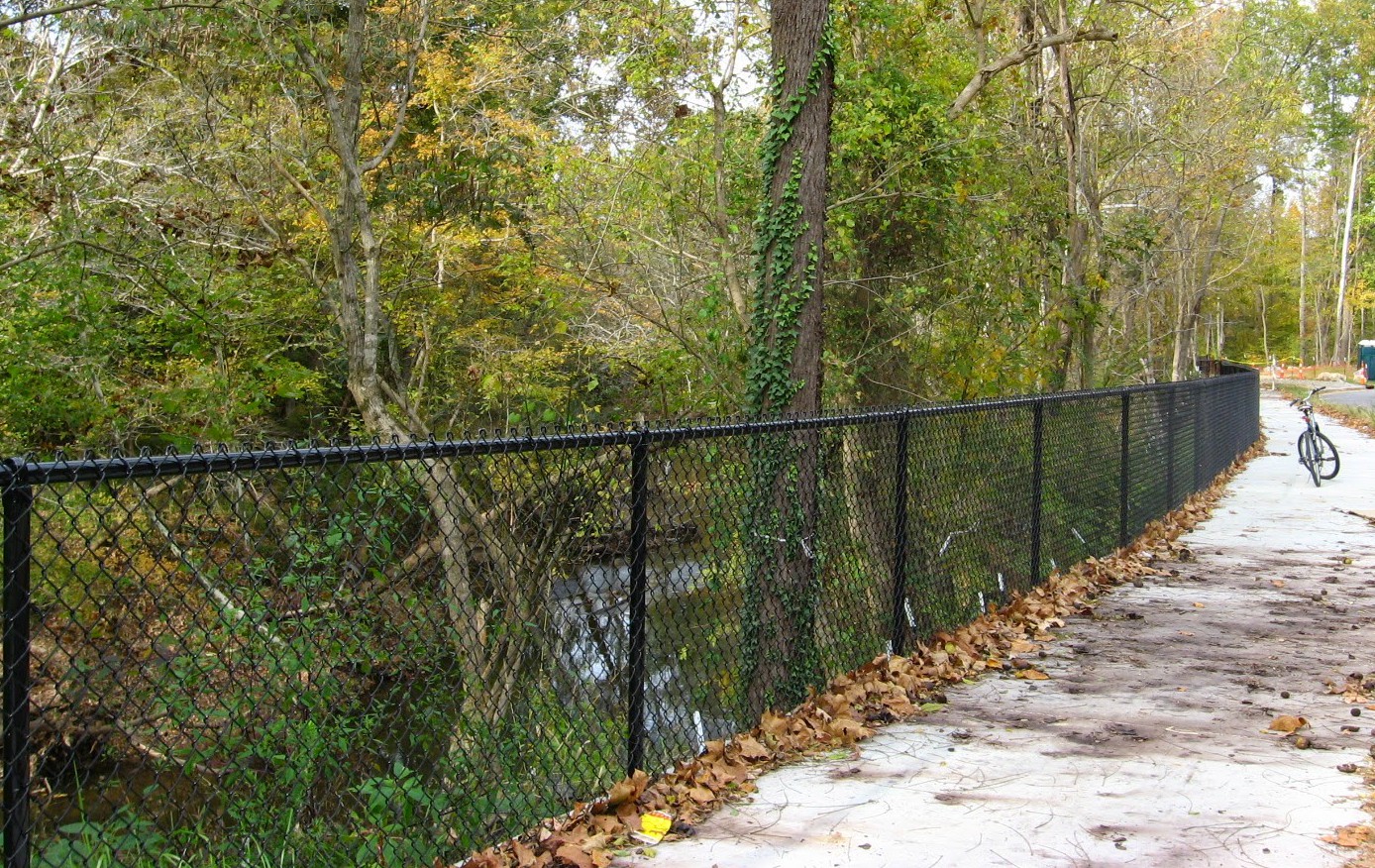
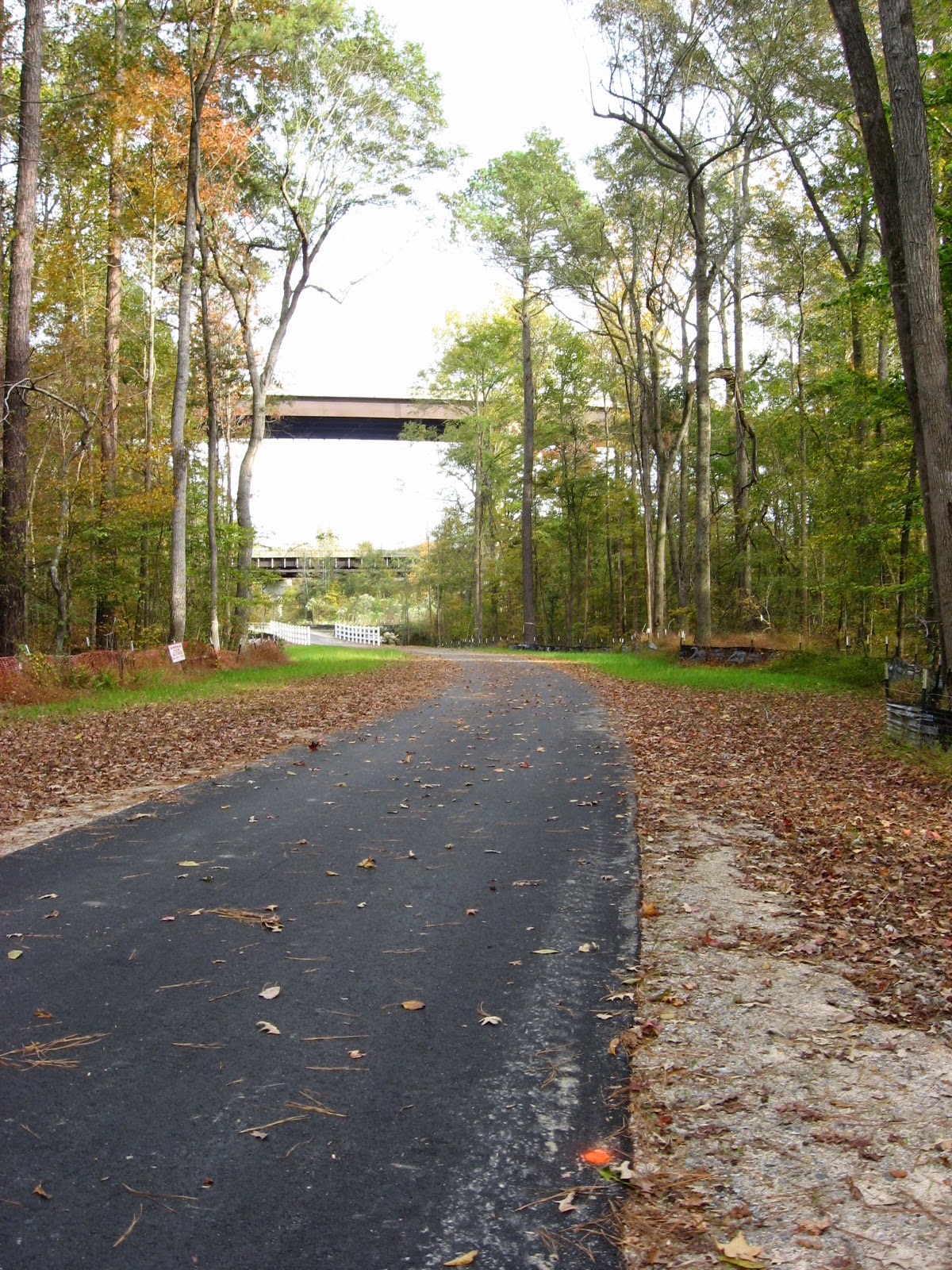
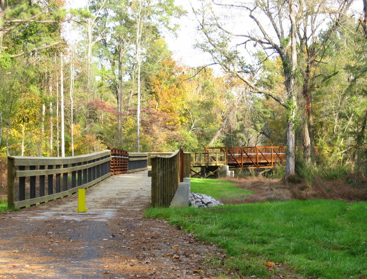
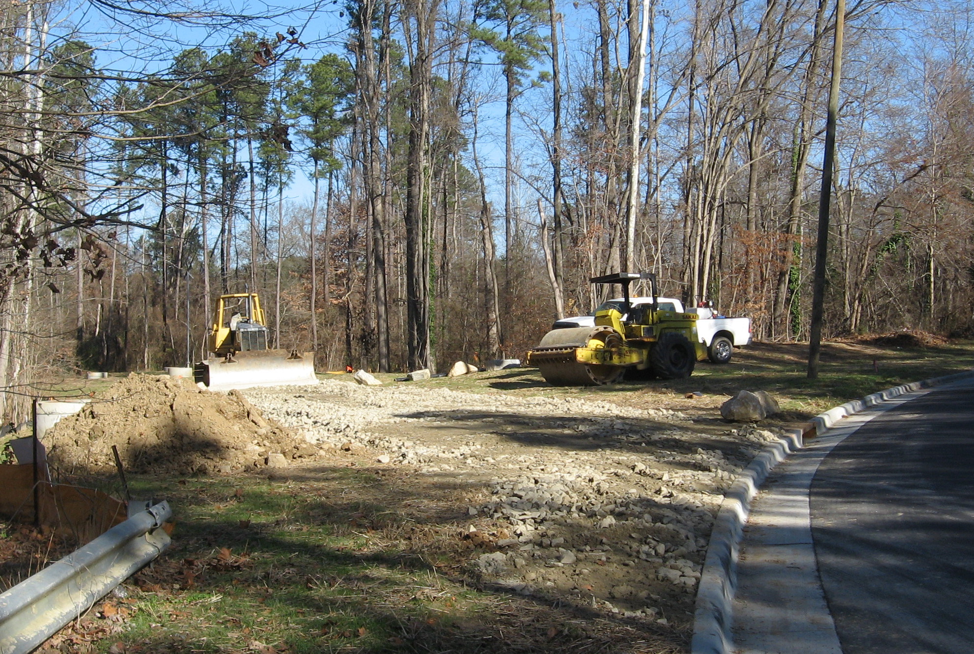
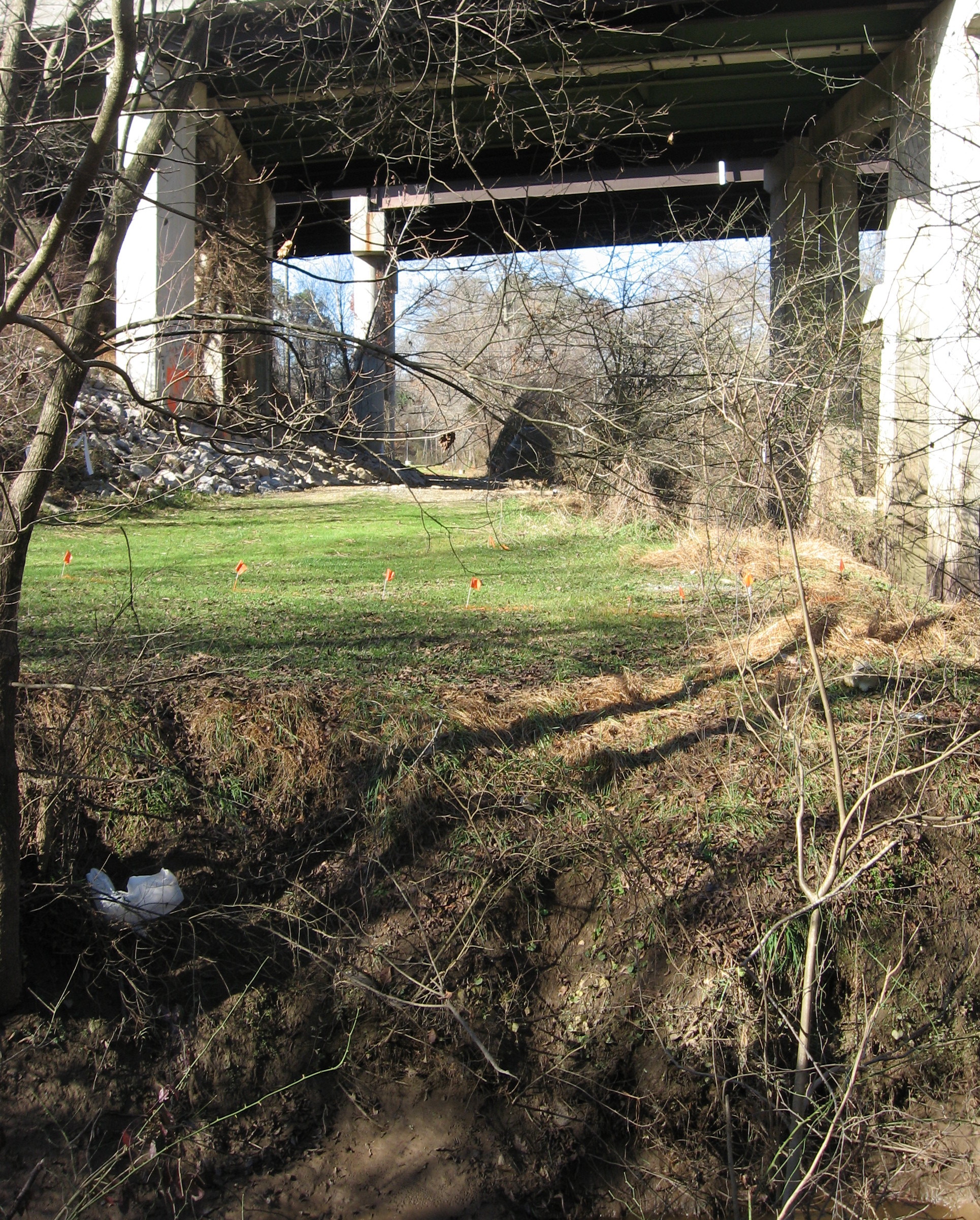
Crabtree is usually a low-flow creek, but after long and heavy rains, its flow can rival the Neuse River, of which it is a major tributary. The newly completed lower Crabtree Trail, featured in my previous post, provides a very long bridge that gives you a good sense of Crabtree’s large size as it approaches Anderson Point to flow into the Neuse.

Crabtree begins in Cary and after passing though Morrisville and Umstead Park, arcs across north Raleigh, roughly parallel to 440. It gathers water from Brier Creek in the north to downtown Cary in the south: a huge swath of Wake County’s terrain. As it approaches Anderson Point Park, it is large and wide.

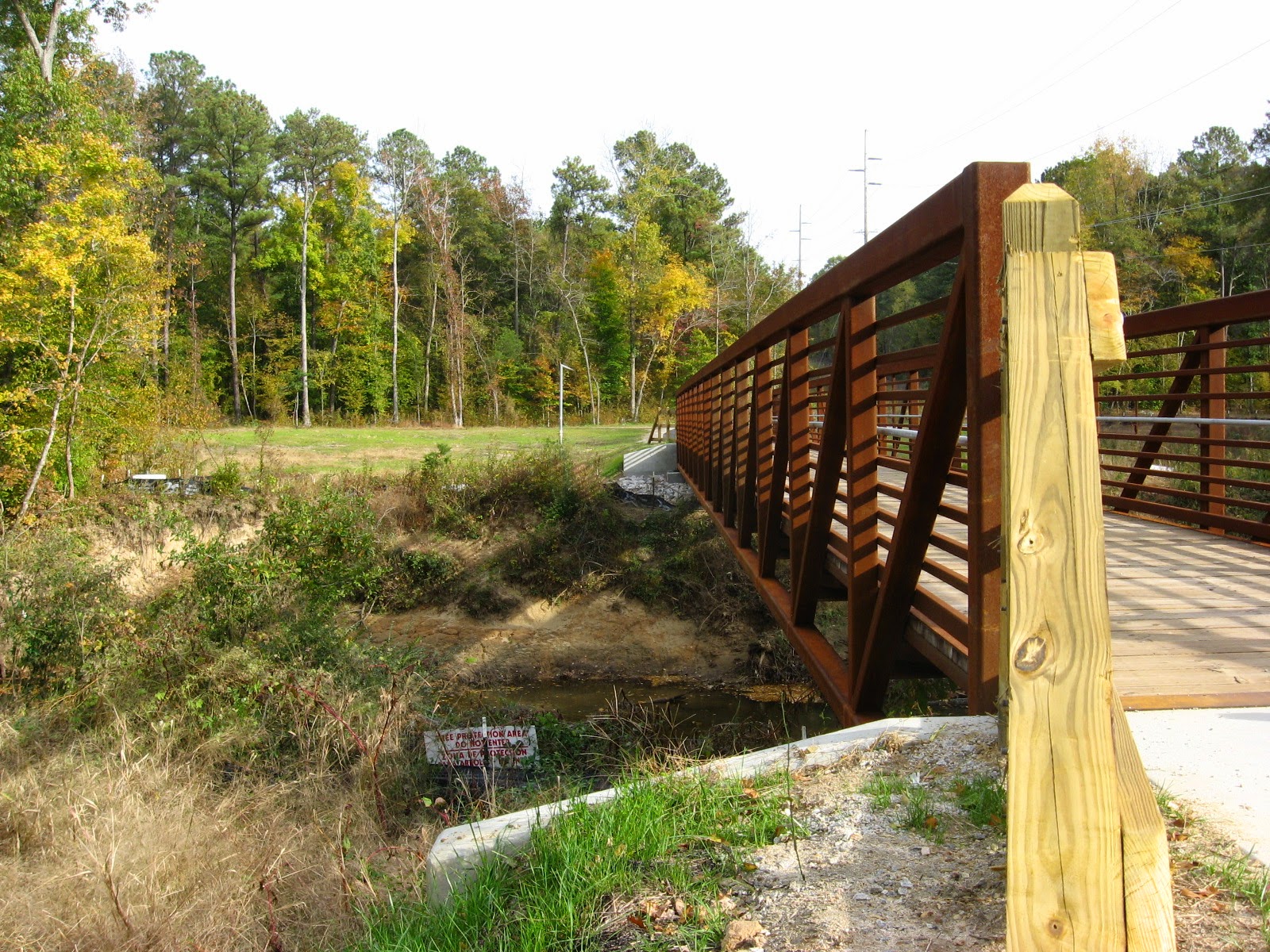
Crabtree Trail crosses the creek at Anderson Point
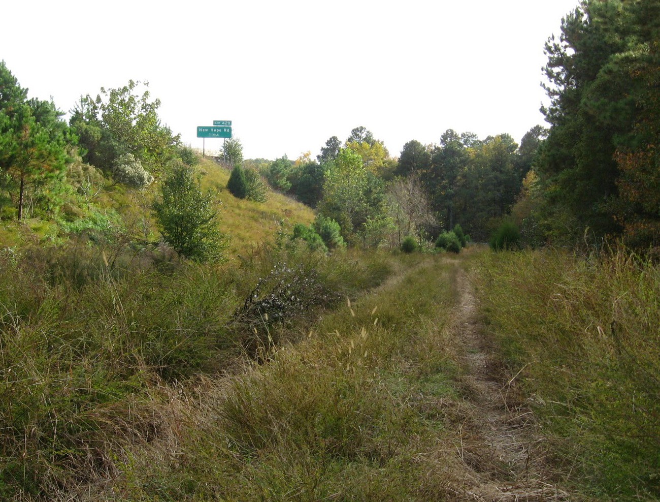
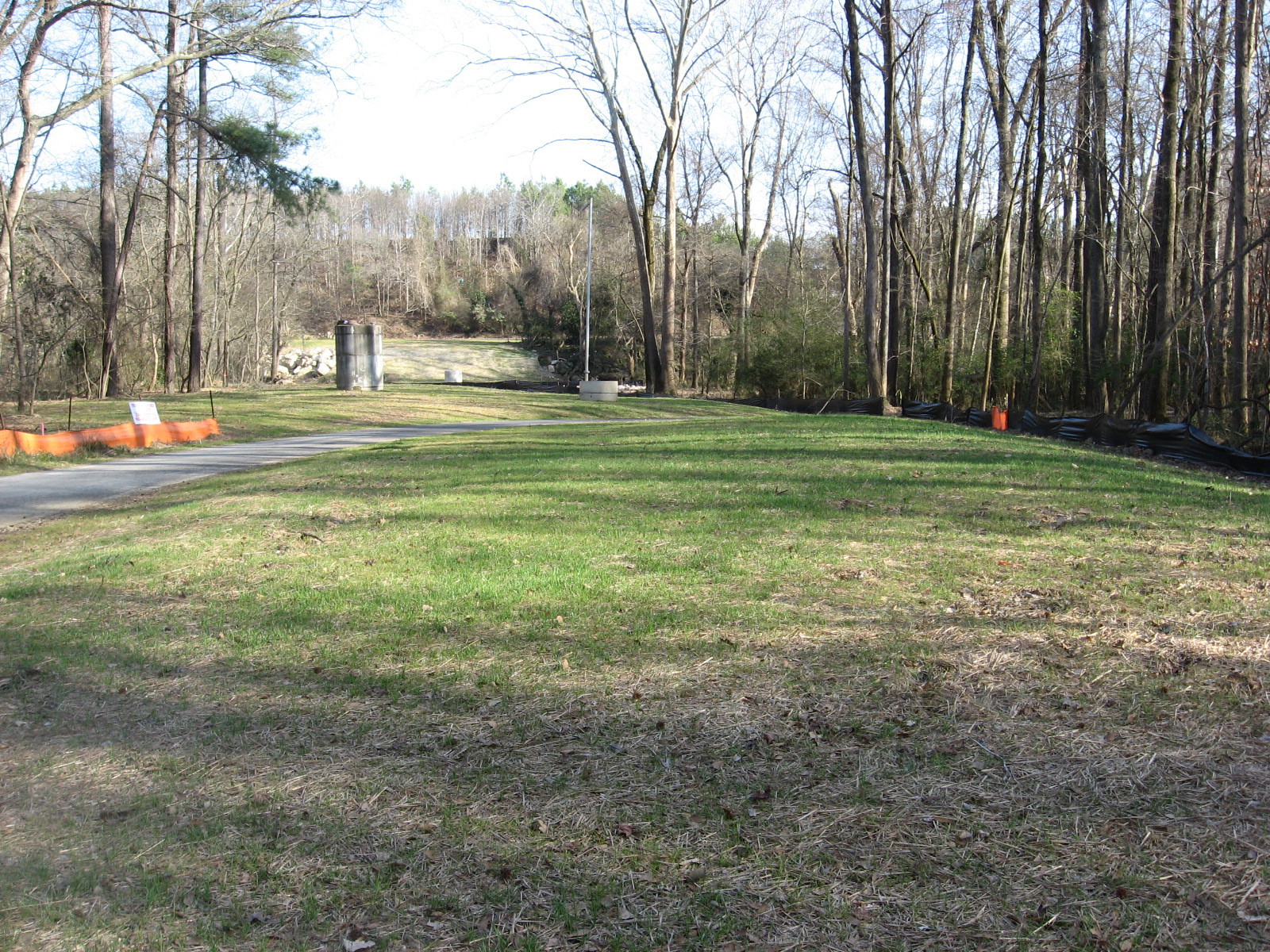
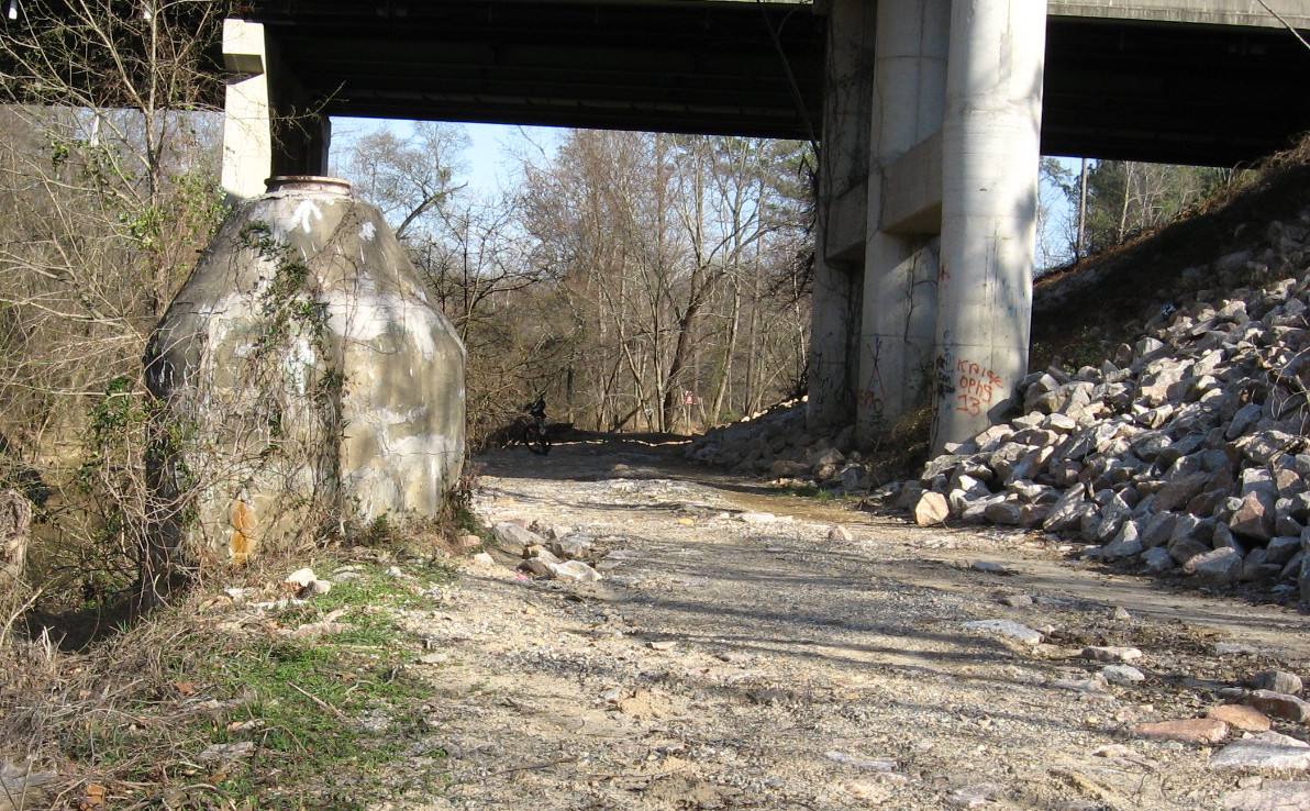
Anderson Point Park is a large complex amenity. Off Rogers Lane (from New Bern Avenue or New Hope Road) you can park before the bridge over the 64 bypass to access the Neuse River Trail and canoe put-in, or cross the bridge into the park proper, where large fields, picnic shelters, and specialty gardens attract many local families. At the bottom of this large and open expanse, a wooded path leads to the confluence of Crabtree and the Neuse. The connector with the Crabtree Trail is back at the top of the slope.

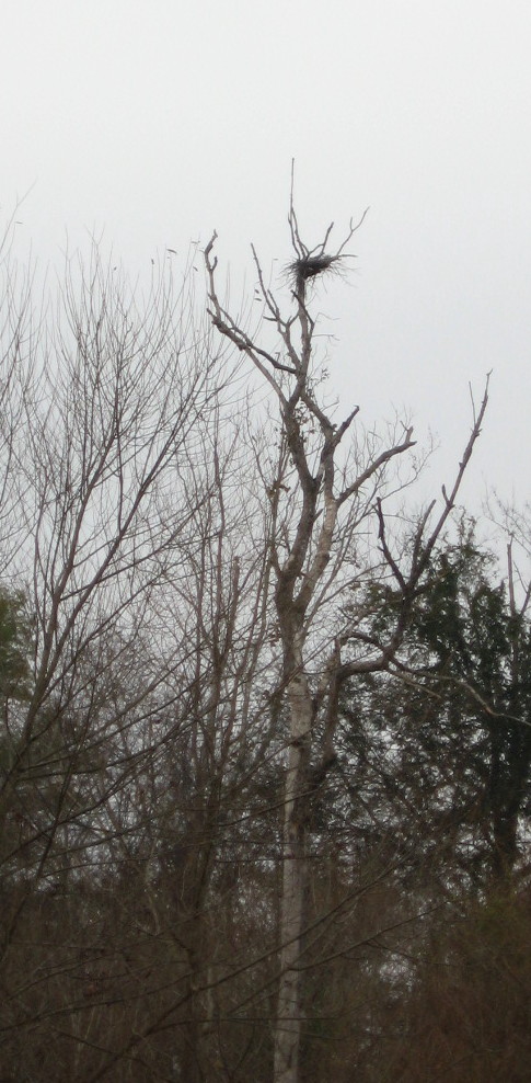
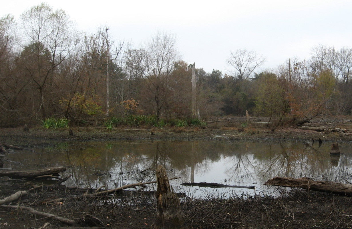
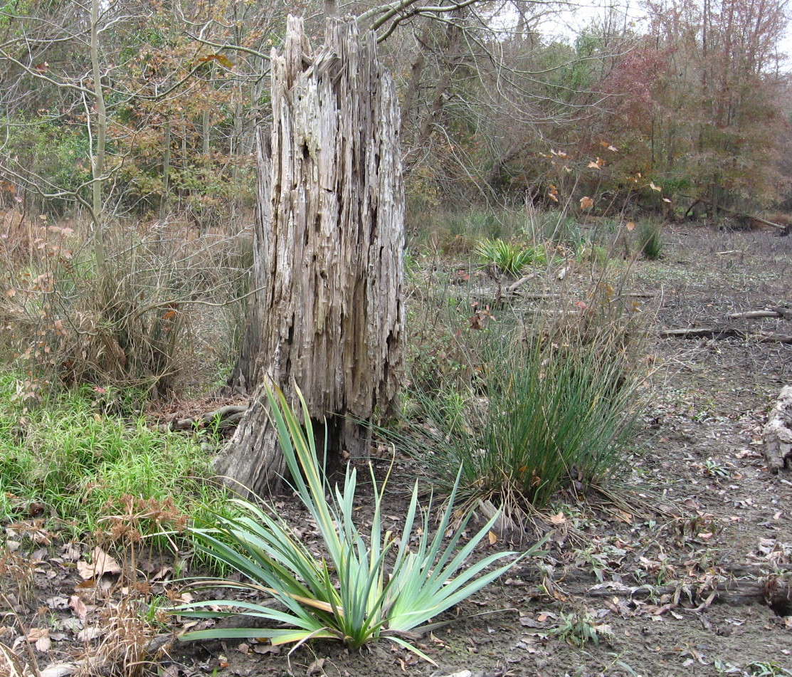
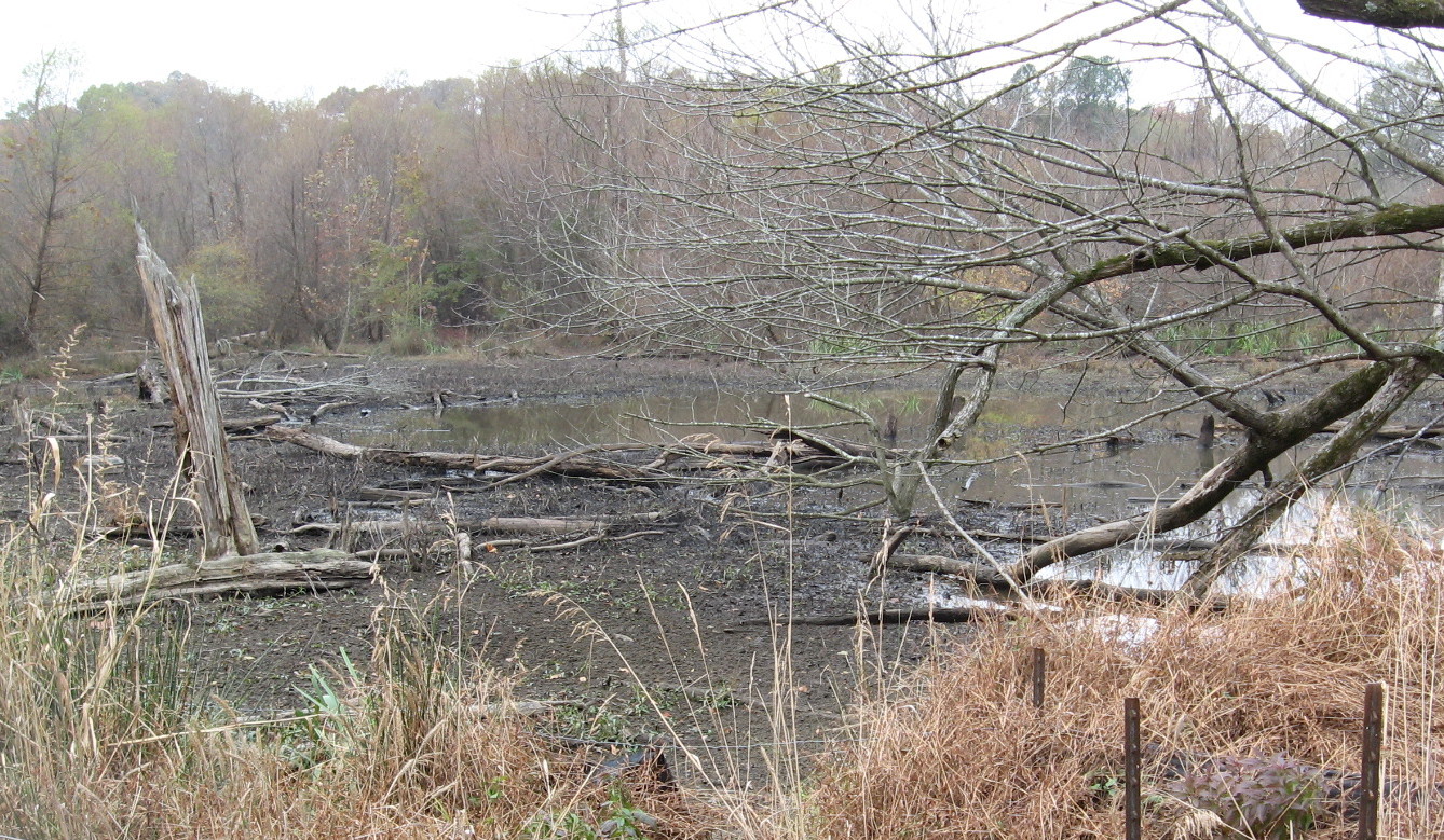
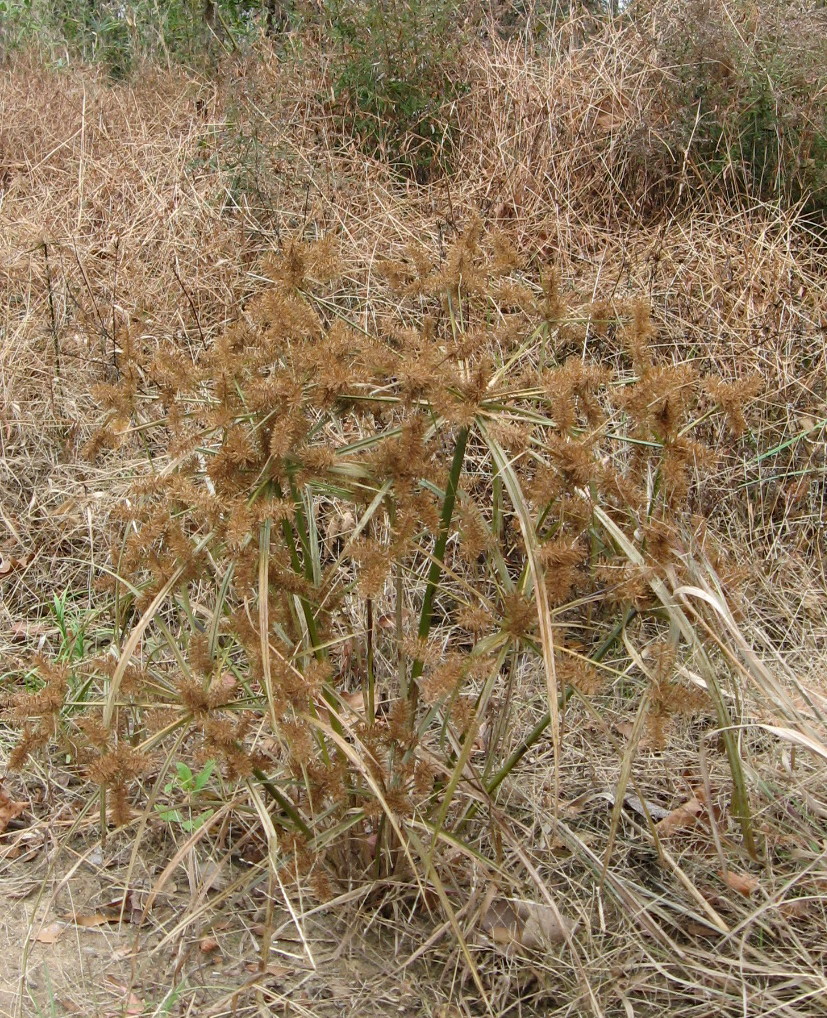
Following this path northward from the park, one gets a great sense of Crabtree’s lower floodplain forests. Large beeches are profuse, and American holly greens up the dark stands of winter sweetgum and ash.
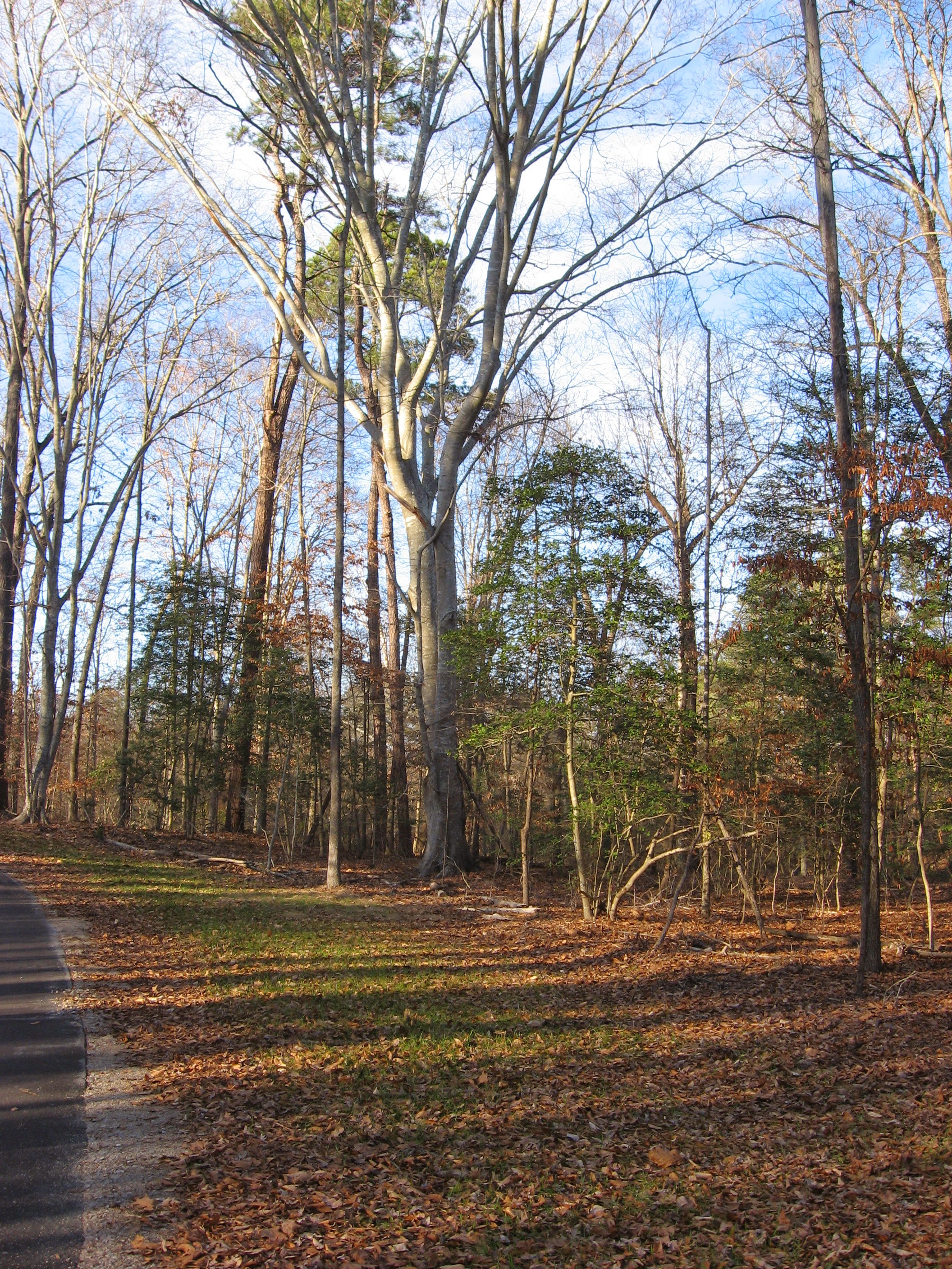
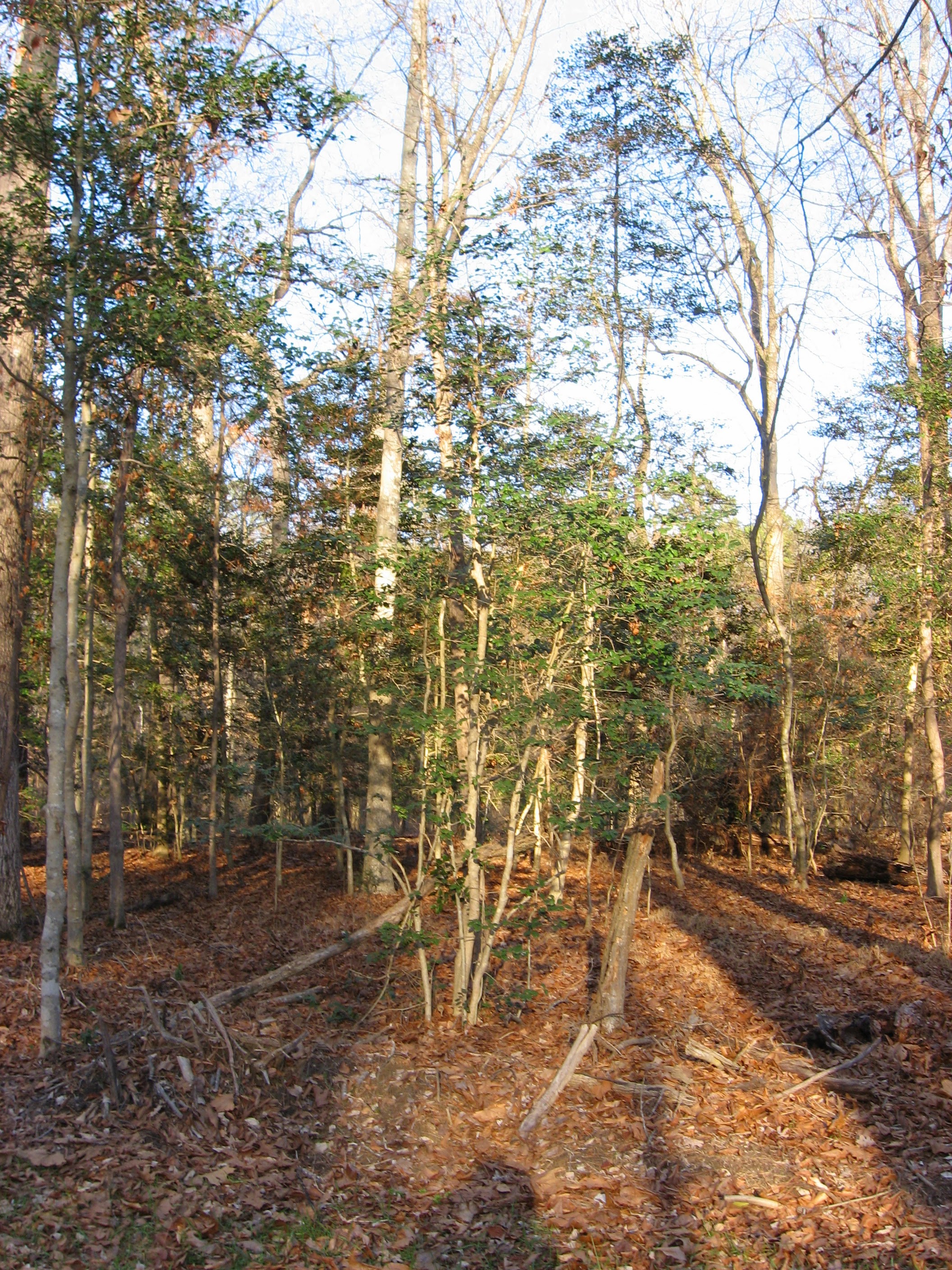
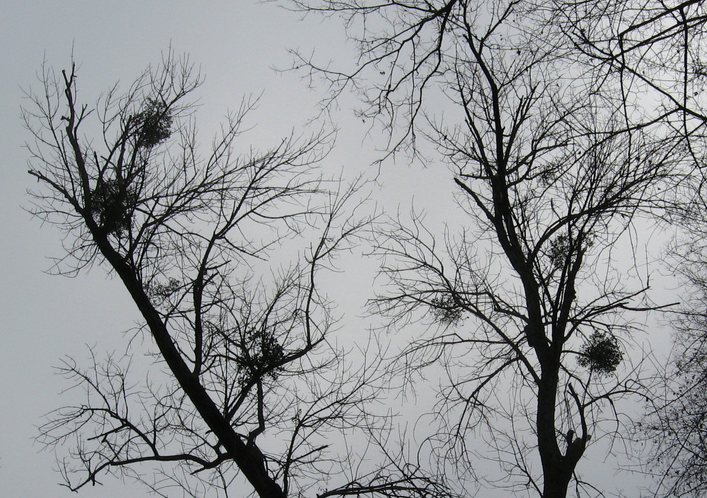
American holly in Crabtree’s floodplain
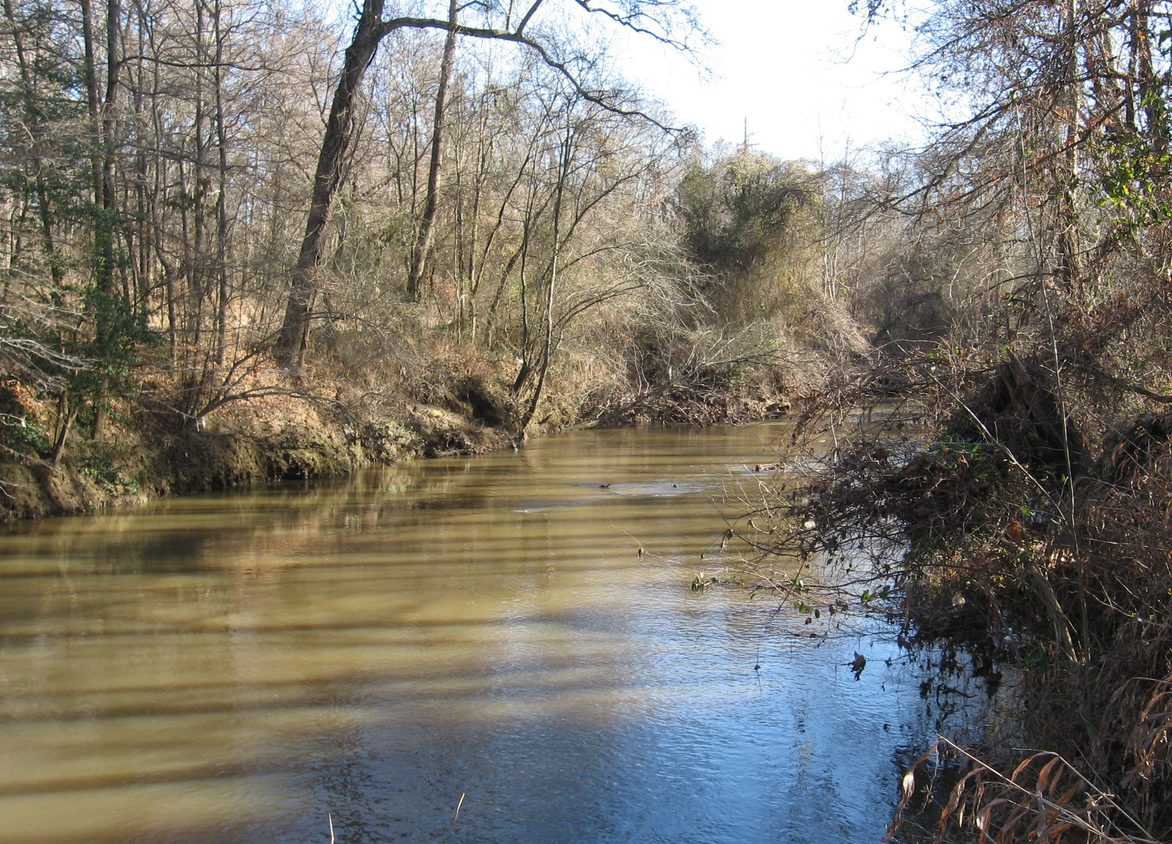
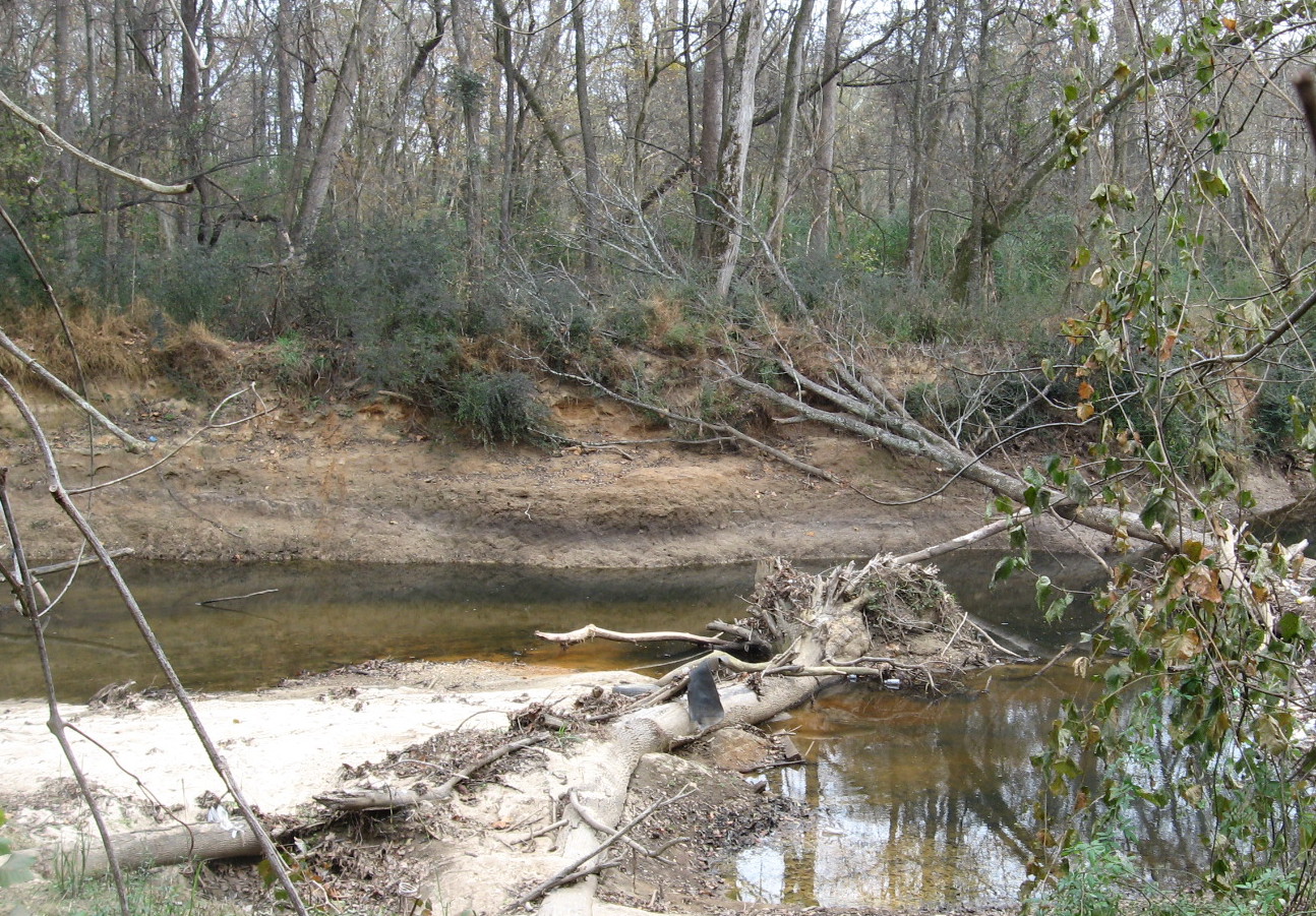
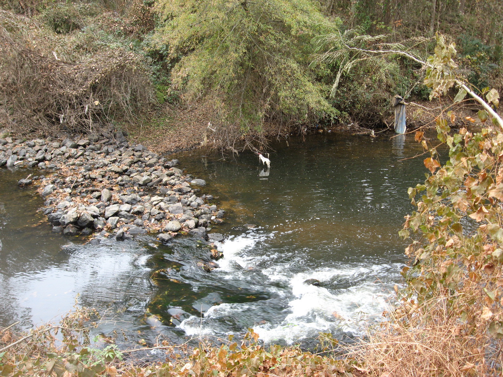
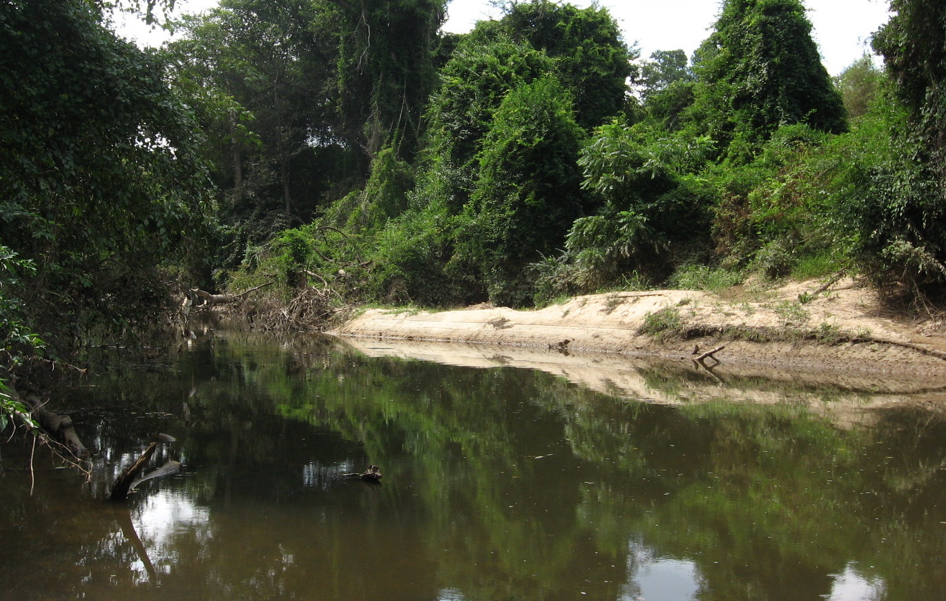
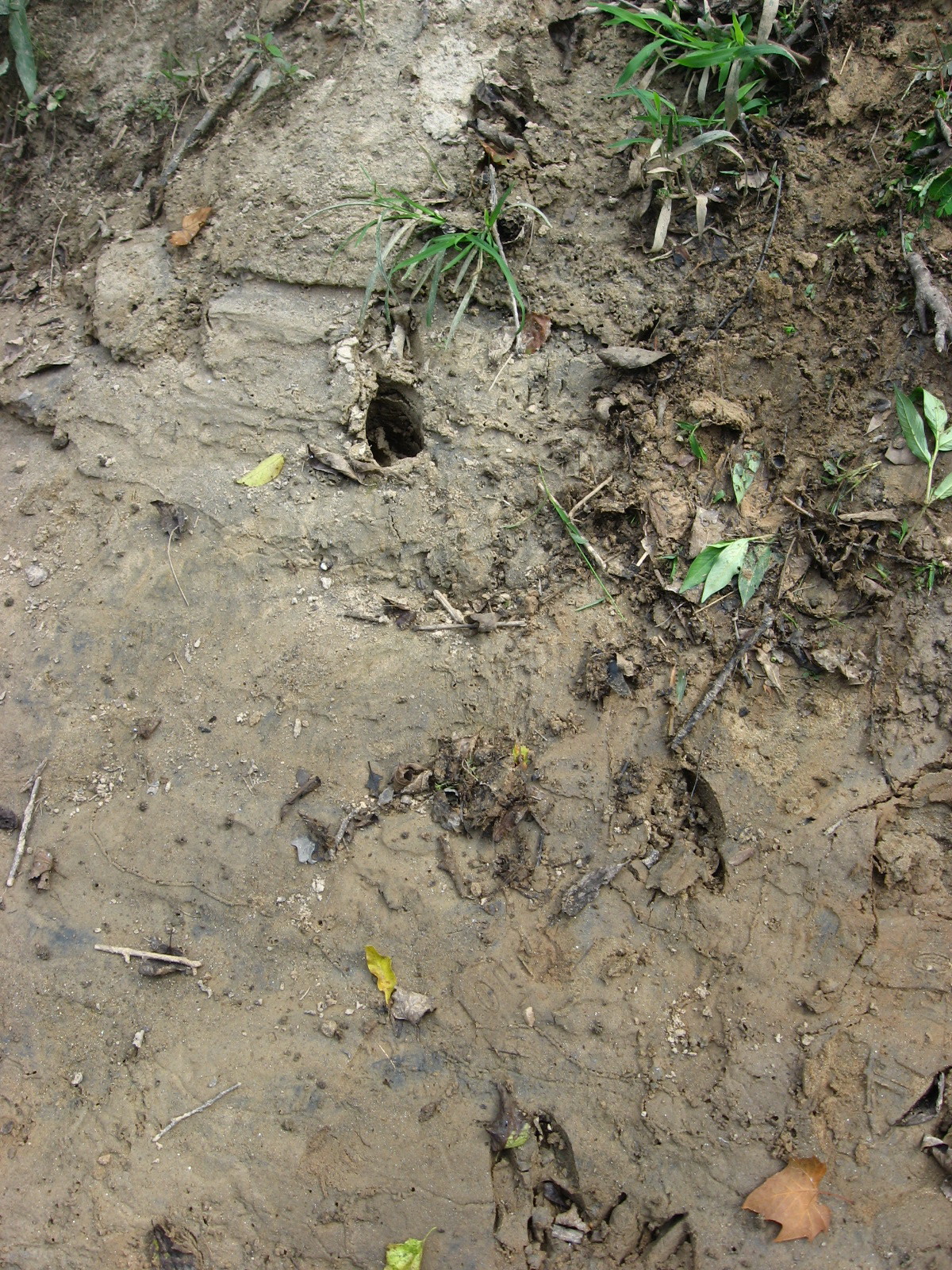
The ancient age of Crabtree can be inferred from sandstone outcrops – huge rocks built by the creek itself over eons. Just before the creek crosses under Rogers Lane, it crosses over flat sheets of even older, harder rock and is only a few inches deep in times of low water. On the day of this visit, the water was high and the “rapids” were only visible as white ruffles in the brown flow.

My favorite spot on both my recent visits was a rocky overhang where the creek makes a sharp turn before approaching the river. The rocks are covered with a minature forest of moss, and on the second visit they were sunlit and quite photogenic.

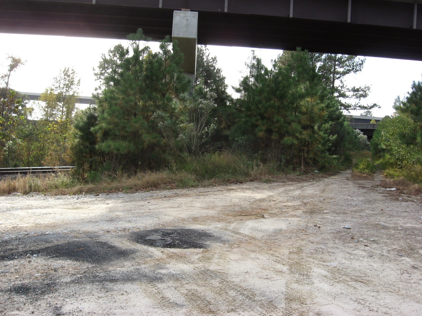
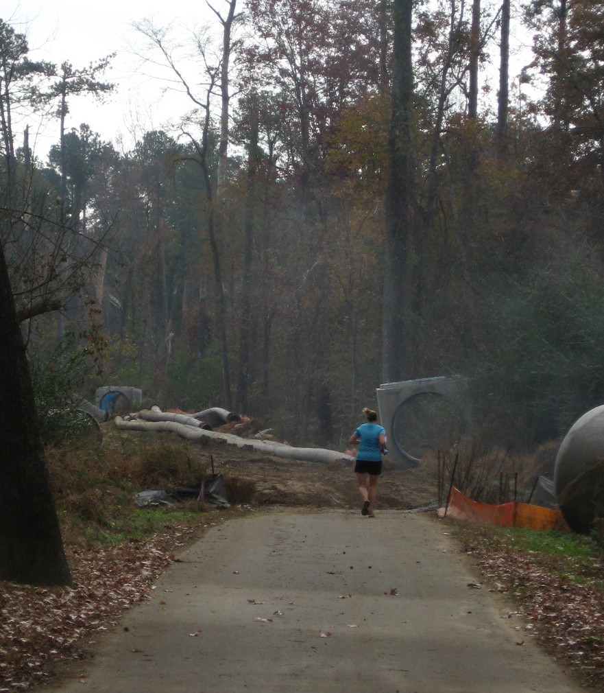
Buckeye Trail, seen below, represents the oldest and “wildest” section of Raleigh greenway. Now it also presents a connection to a huge greenway loop around Raleigh, utilizing the Neuse River trail and the long extension of the Walnut Creek Trail to the River. Anderson Point is a great focal point for these connections, The exciting Mingo Creek Trail connection, just upstream, will have to wait for another post. Happy hiking or biking on our wonderful, ever-growing system!
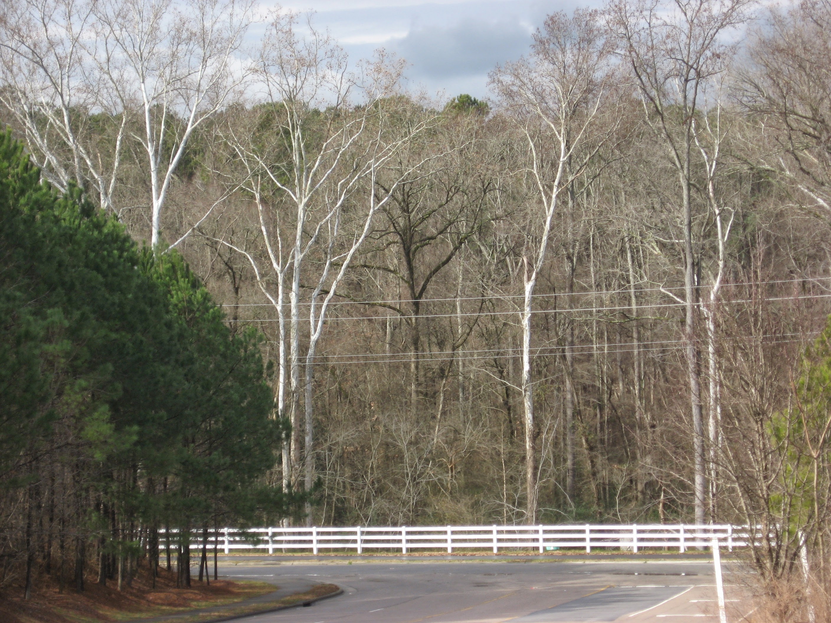
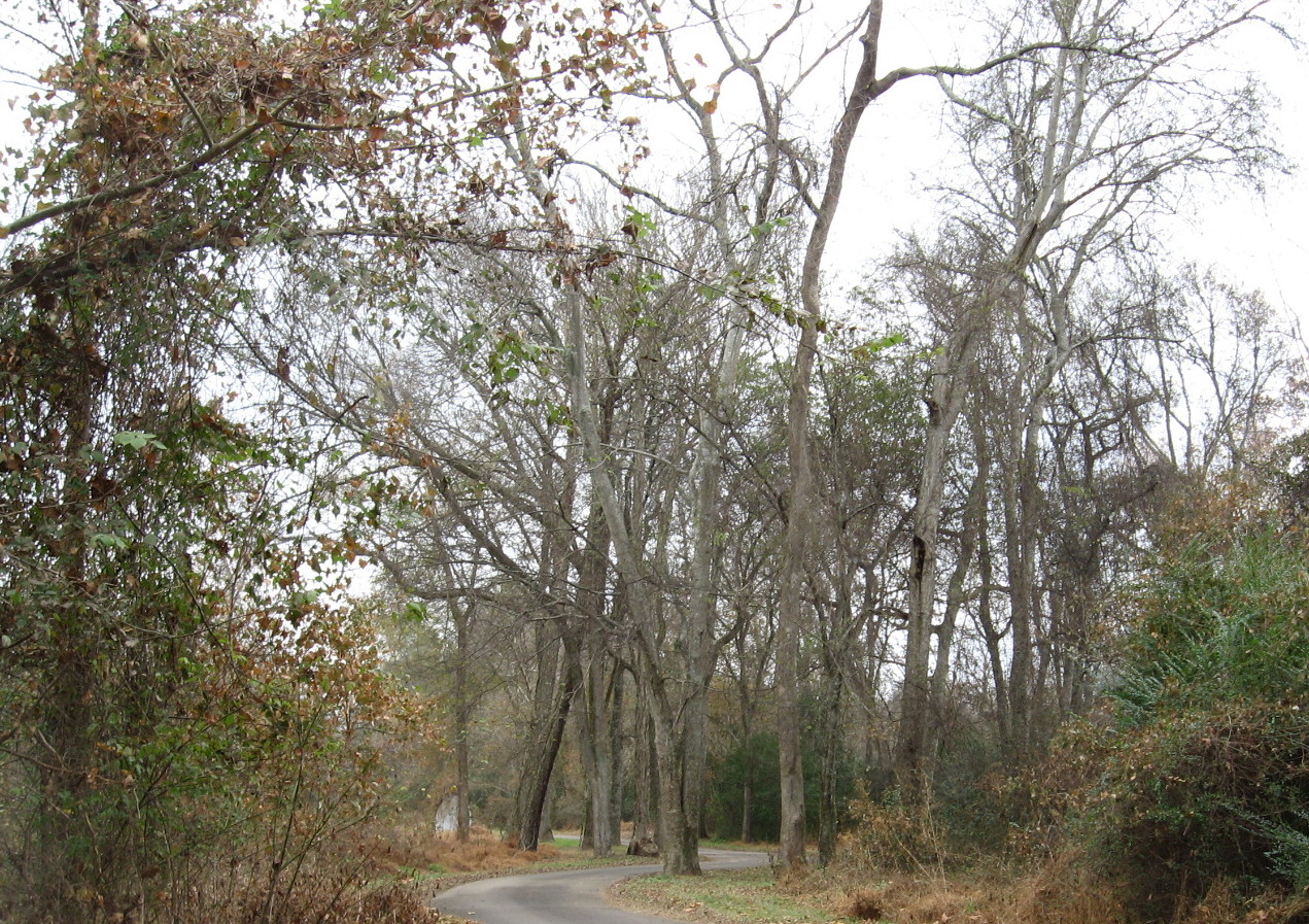
Winter sycamores guard Buckeye Trail connector on Milburnie Road