The Raleigh Naturalist

February 14, 2019

Raleigh Swamp Recovers from a Swamping

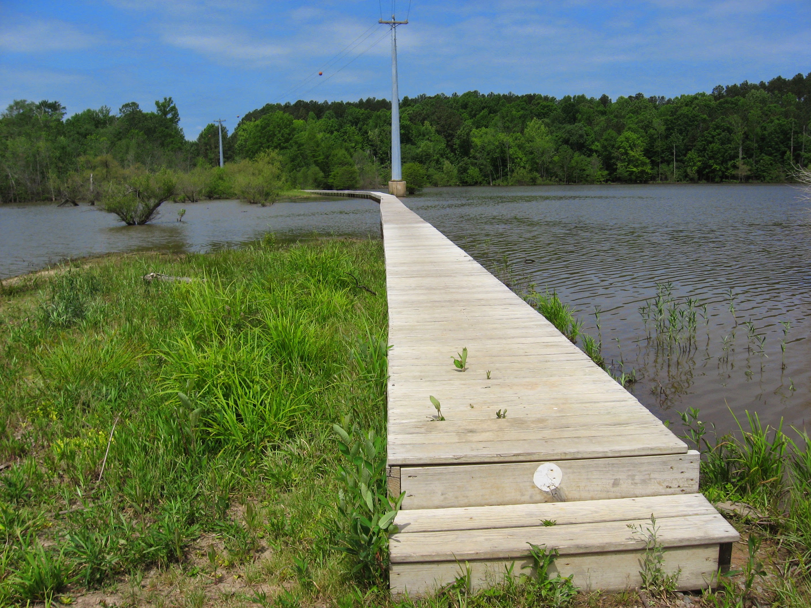
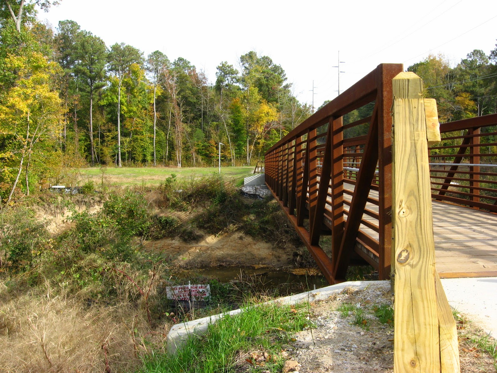
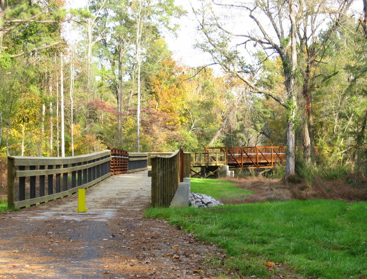
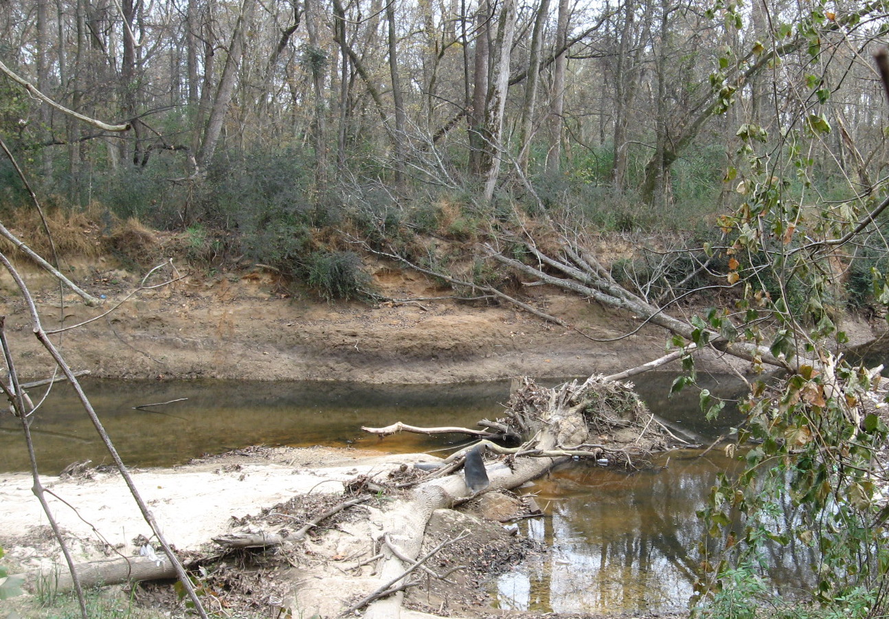
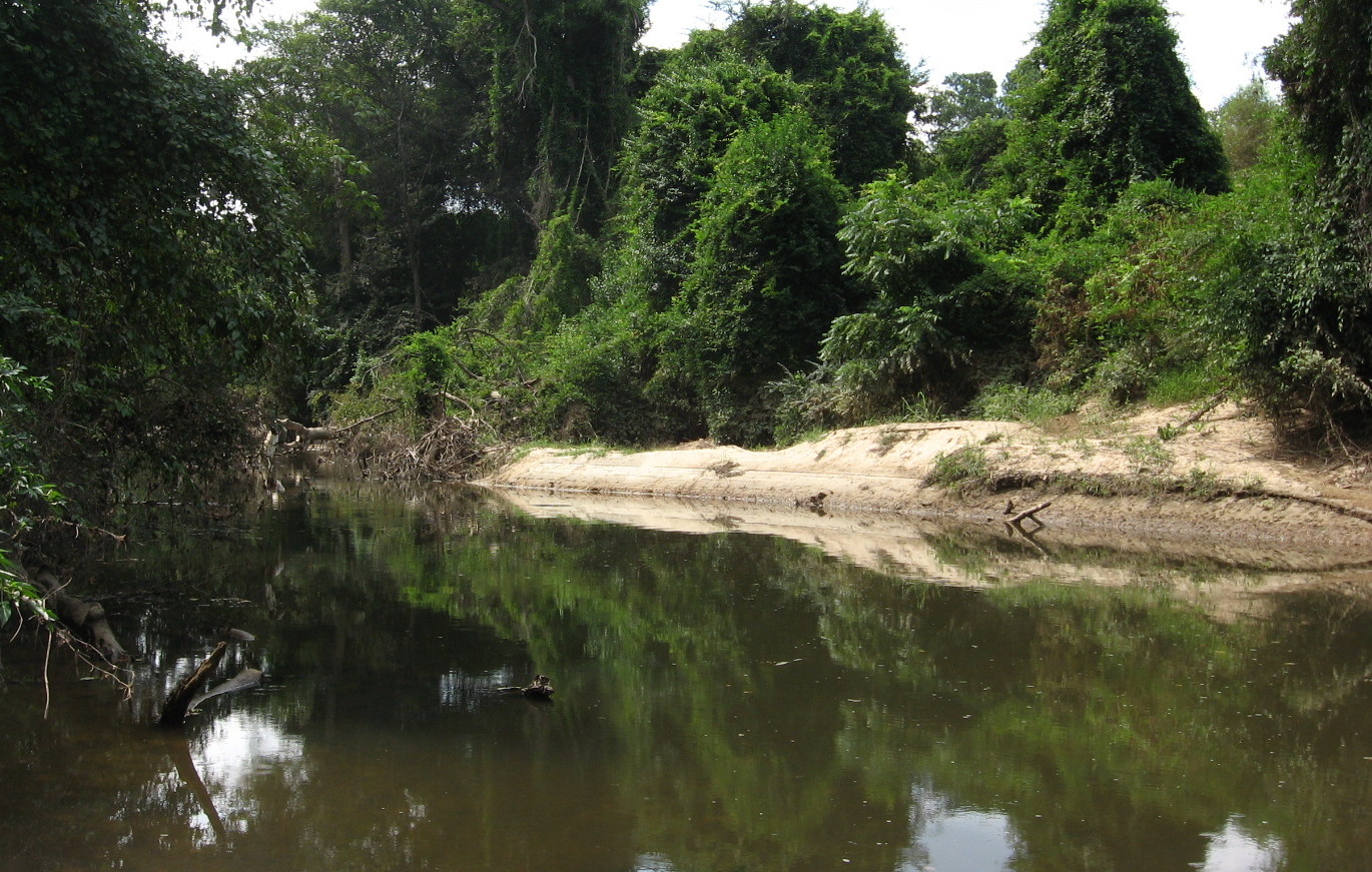
Raleigh Swamp is a prominent, even dramatic feature of the Raleigh Greenway at the intersection of Crabtree Boulevard and Raleigh Boulevard, joining Buckeye Trail to Middle Crabtree Trail and crossing a large shallow body of water with a causeway. The water was never intended to be permanent, but a wetland was turned into a shallow lake by the work of beavers, as explained in this 2013 post.

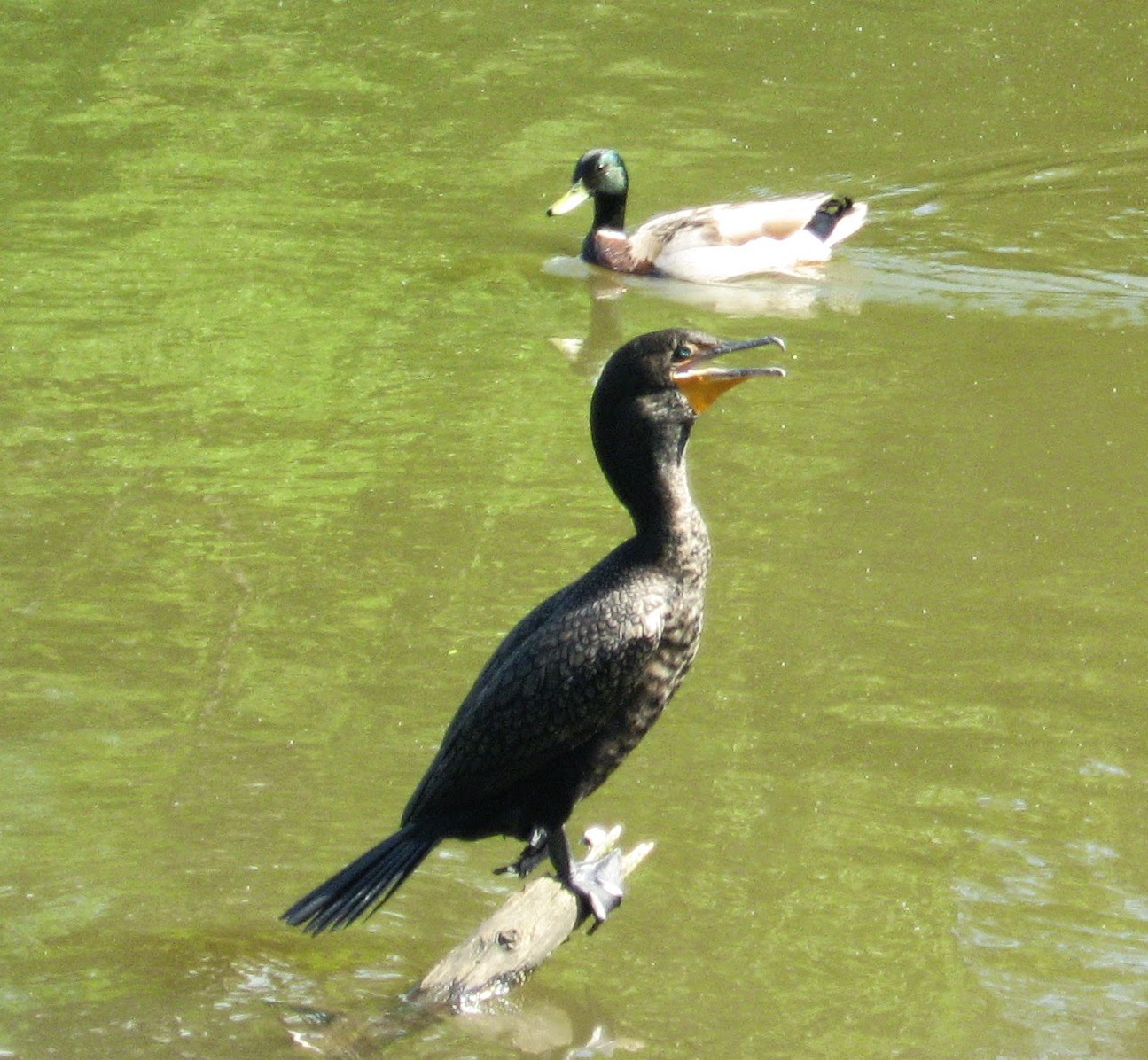
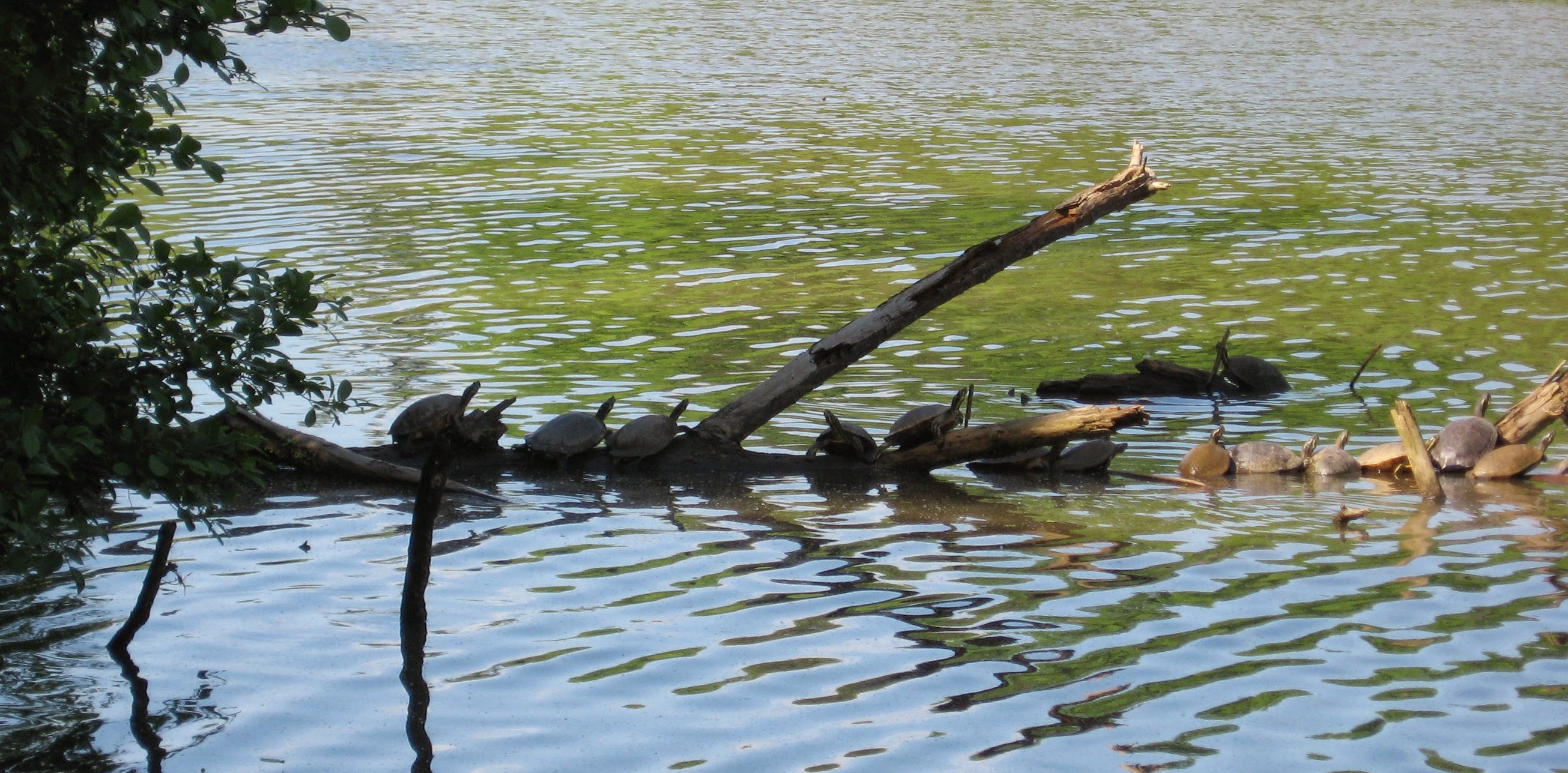
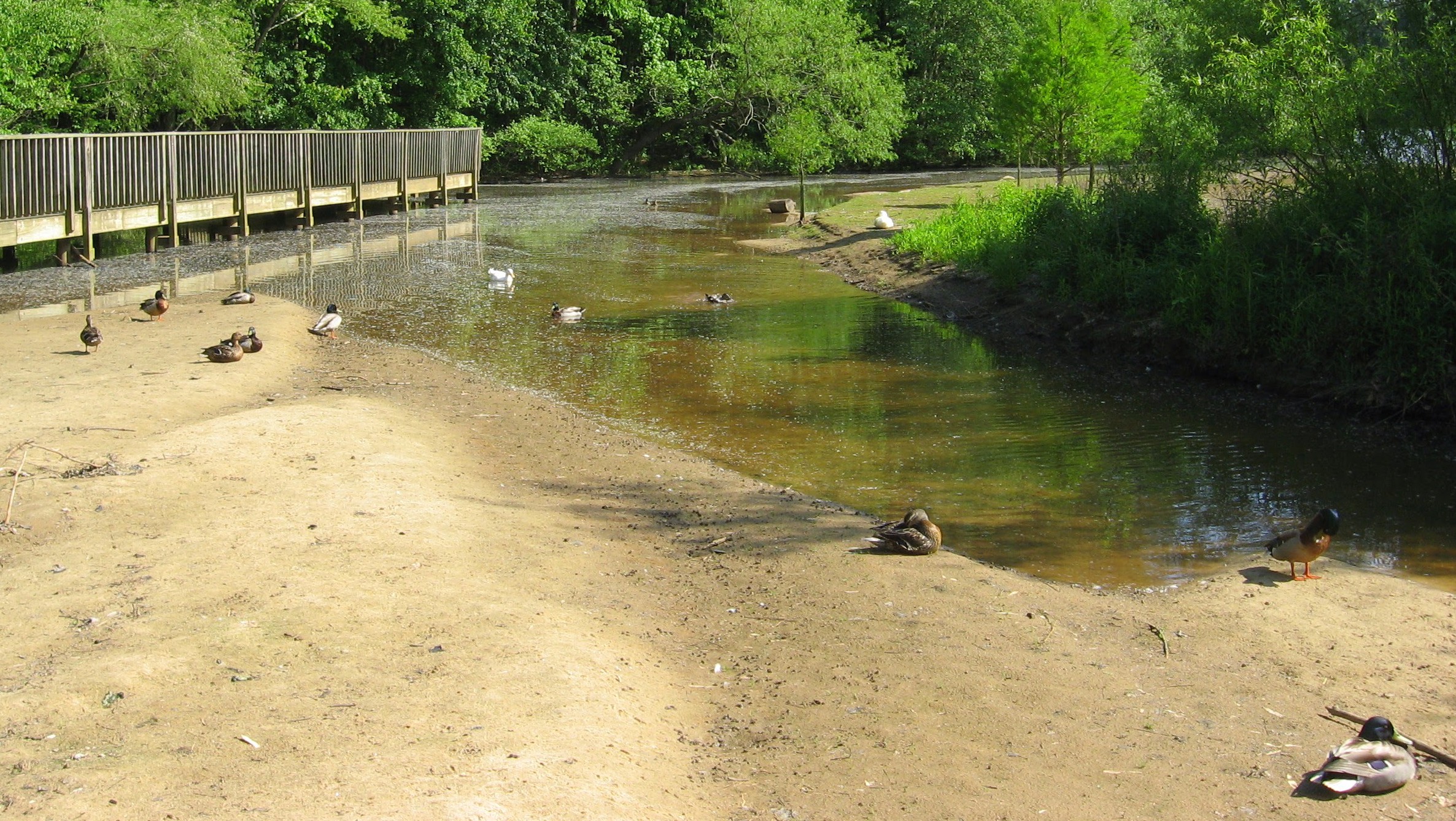
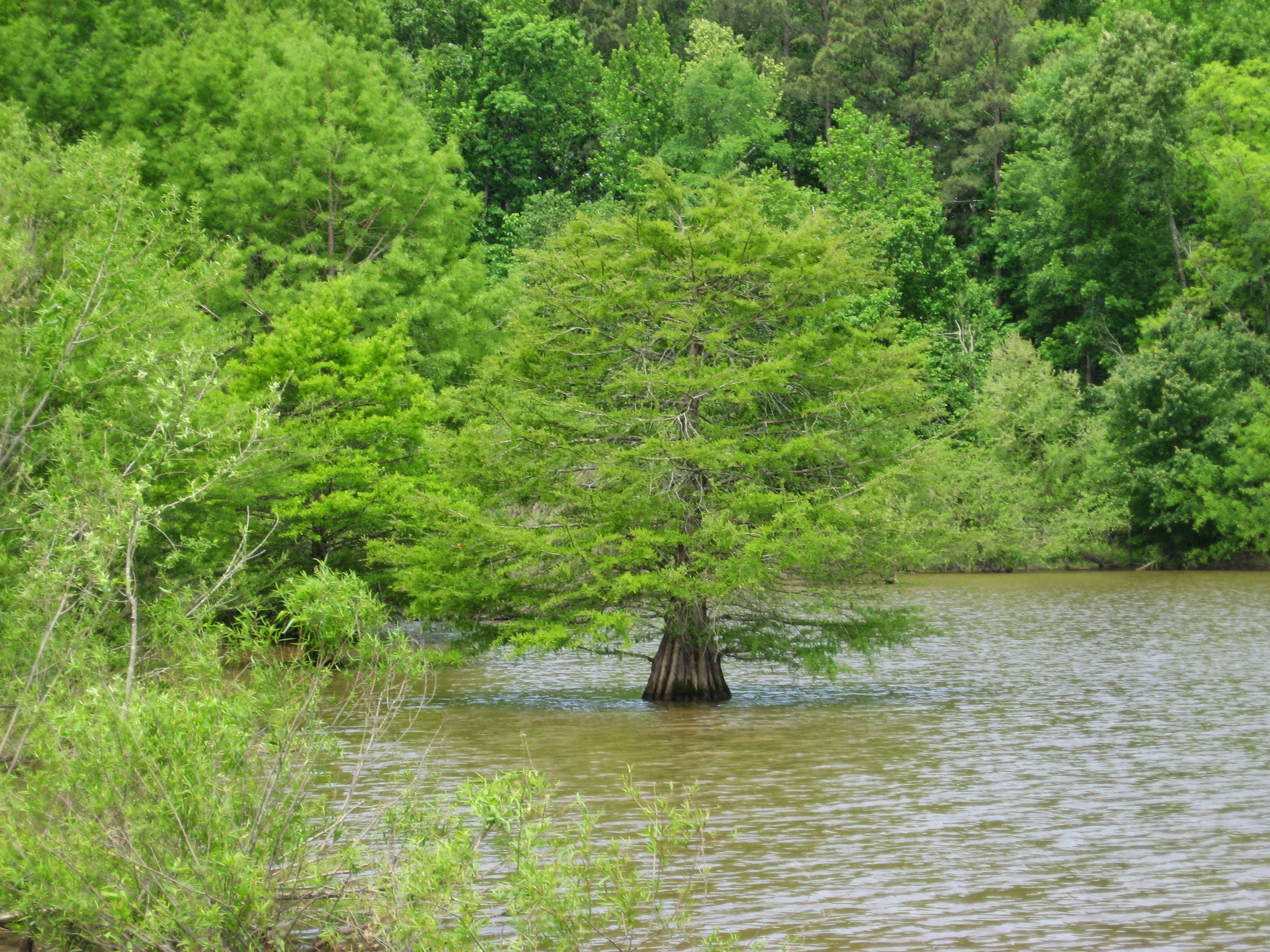
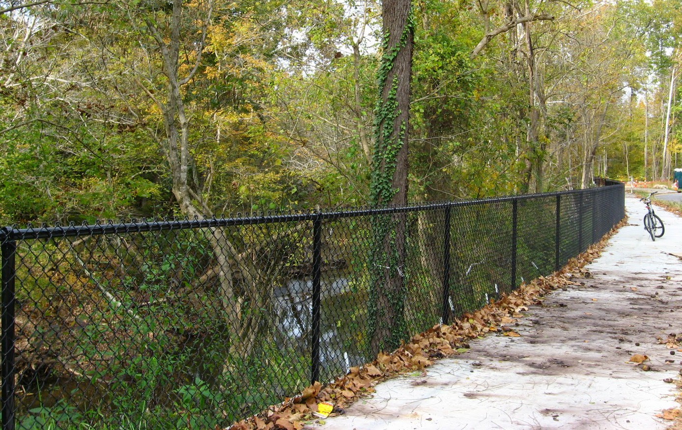
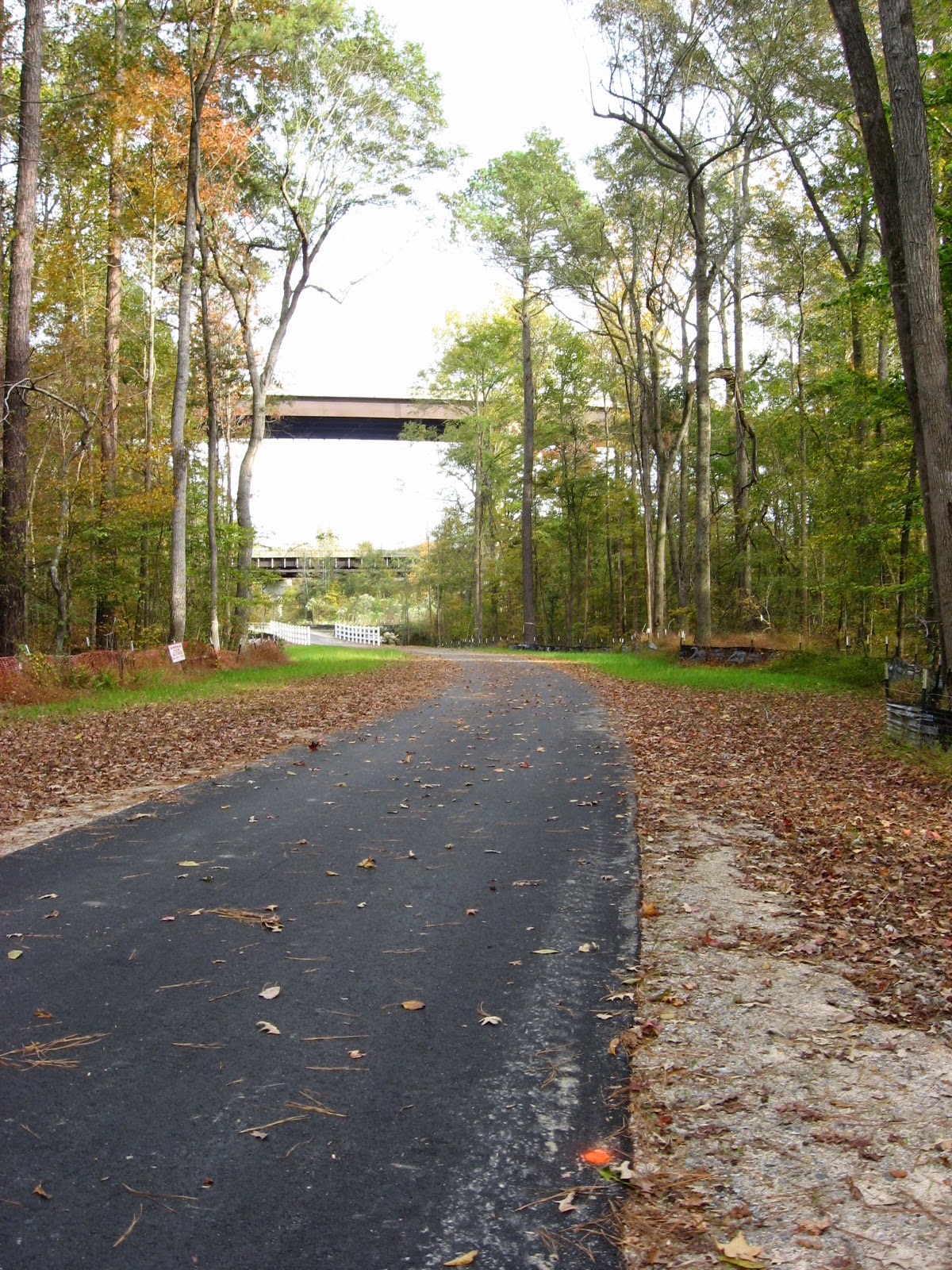
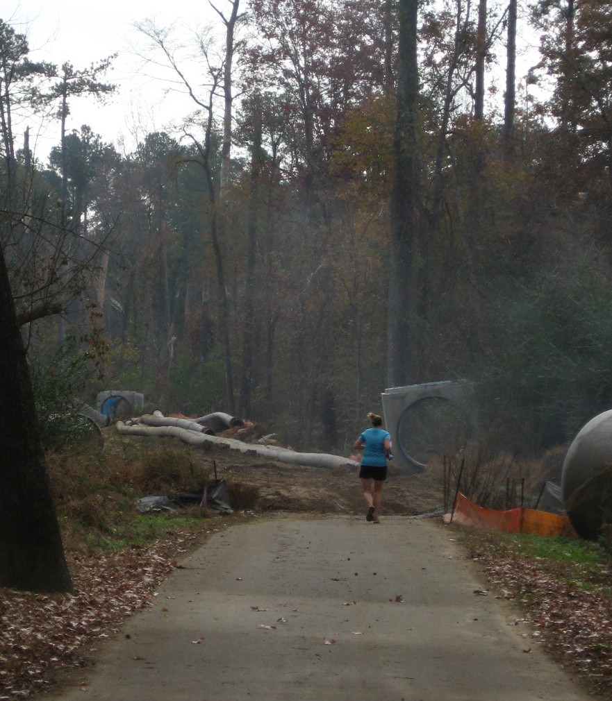
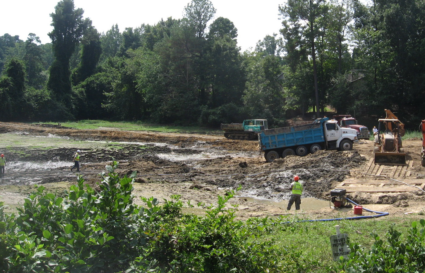
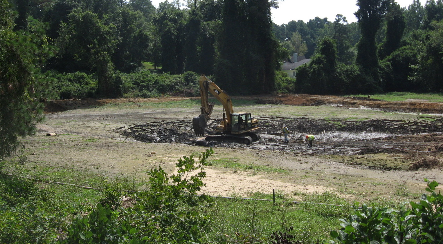
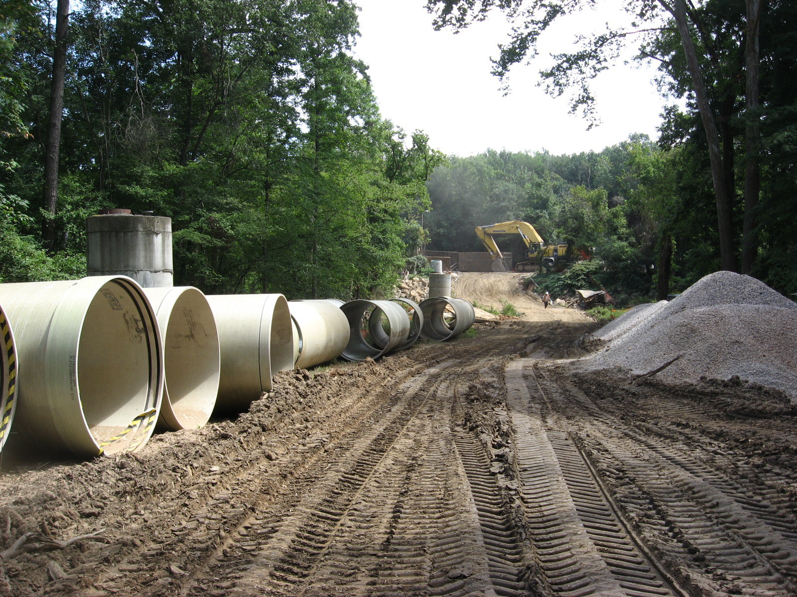
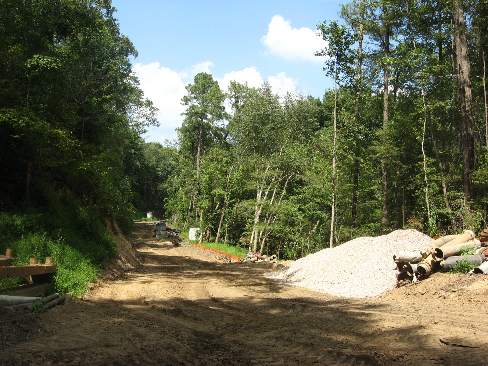
The place is a paradise for visiting birds, thirsty deer and other wildlife, and an amazing collection of turtles that bask by the piled up dozens on the many logs protruding from the water. The causeway was built with best ecological practices, minimizing disruption, but it has needed repairs recently because of extensive flooding. Cara and I visited in November 2018 and saw some of the work.

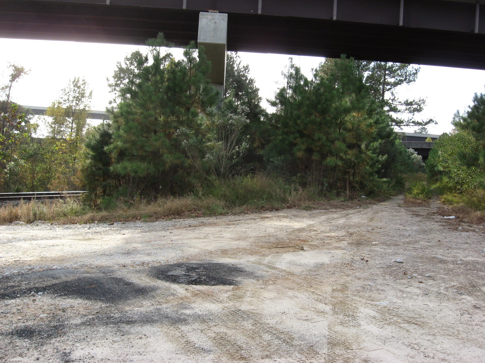
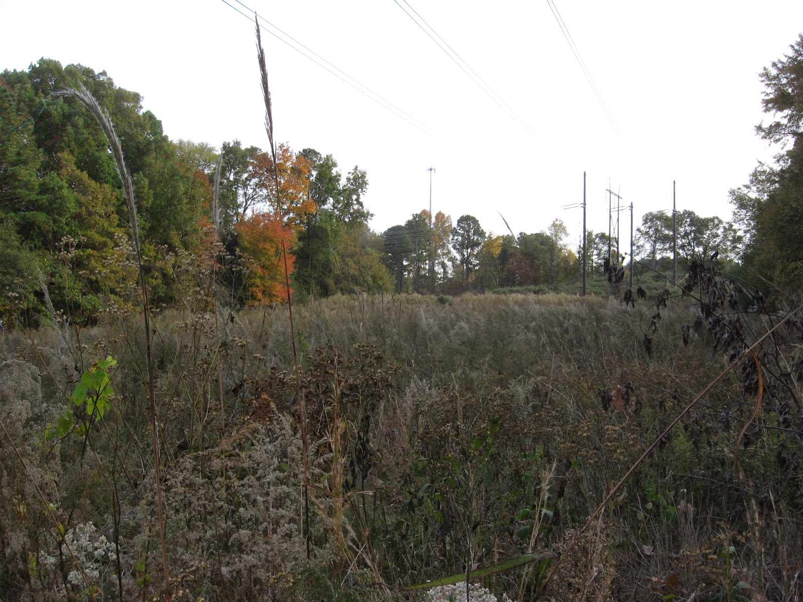
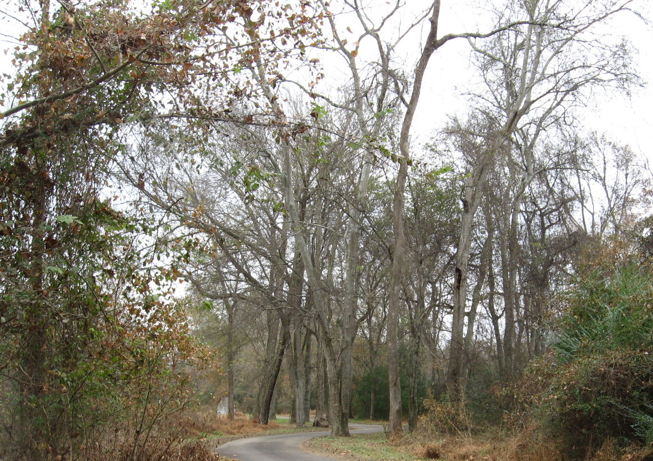
The crossing of the greenway with a utility cut has been strengthened and guarded with metal gates. The northwestern end of the site has a short stretch of asphalt that has repeatedly been ruined as the flooded marsh cuts through the shoulder of Crabtree and dumps excess water into the creek. looks like they are going to repair (instead of culvert) it once again, but this spot has closed the causeway, officially that is, for months. Most people just make their way around the mild barricades.

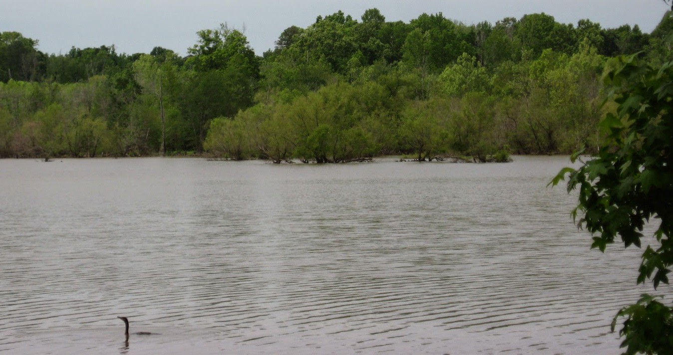
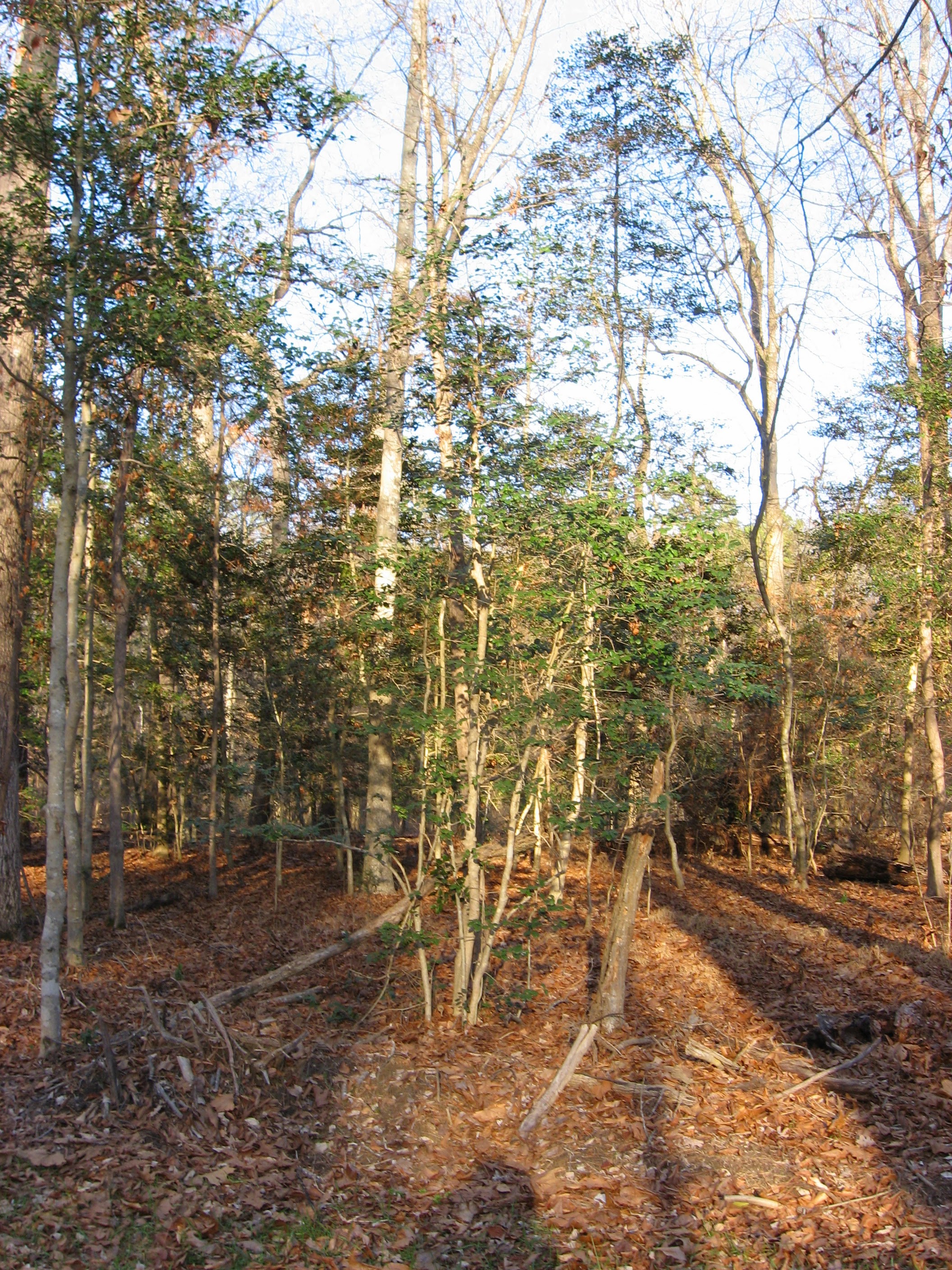
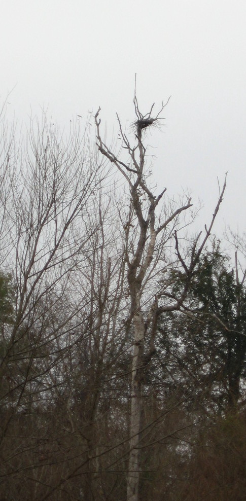
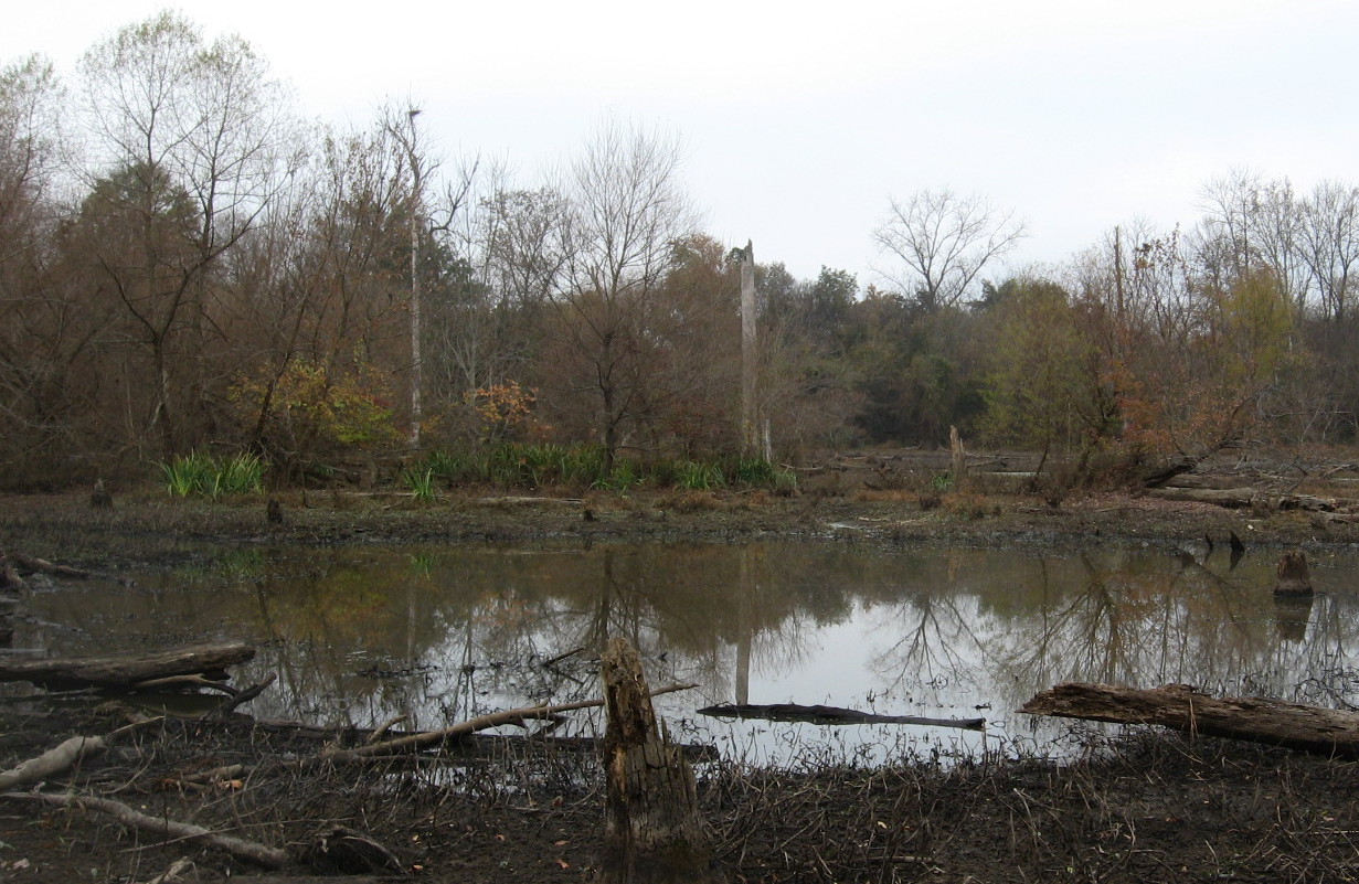
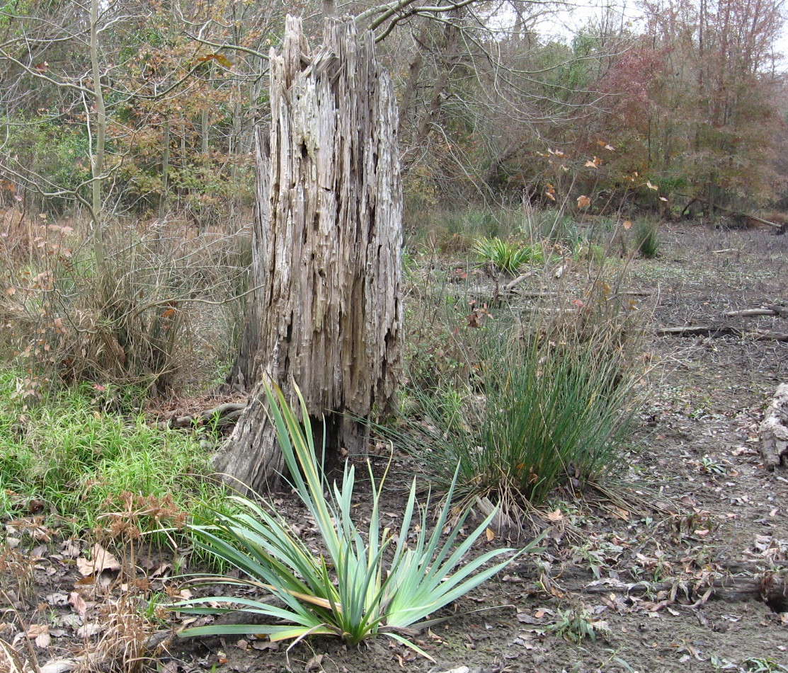
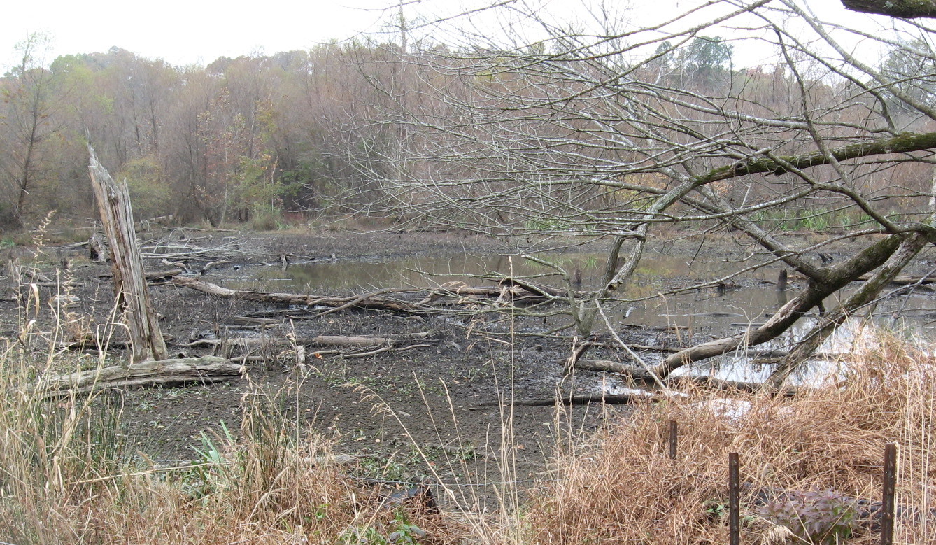
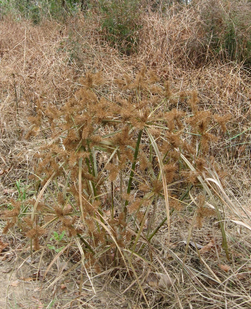
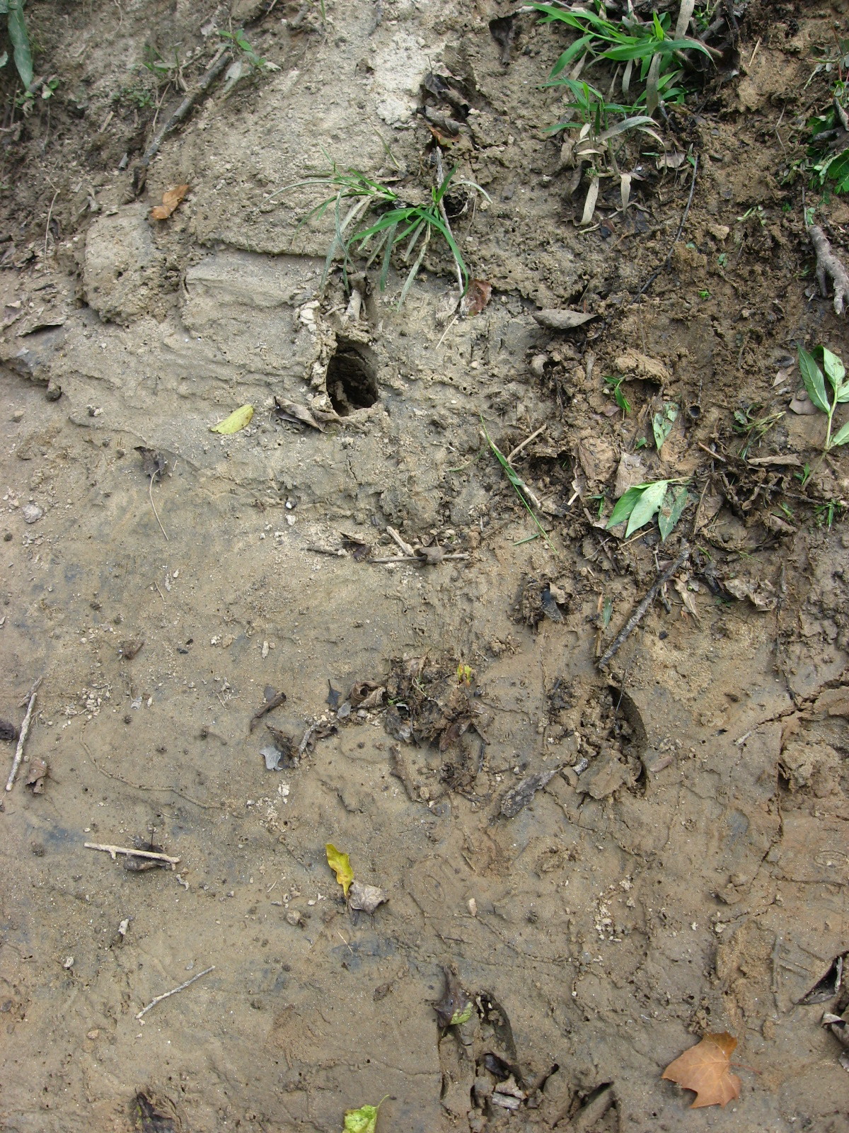
Different species of trees can tolerate shorter or longer periods of flooding. Ash, river birch and of course willows can survive many weeks of inundation. But if flooding lasts too long, trees die and the vegetative regime changes.

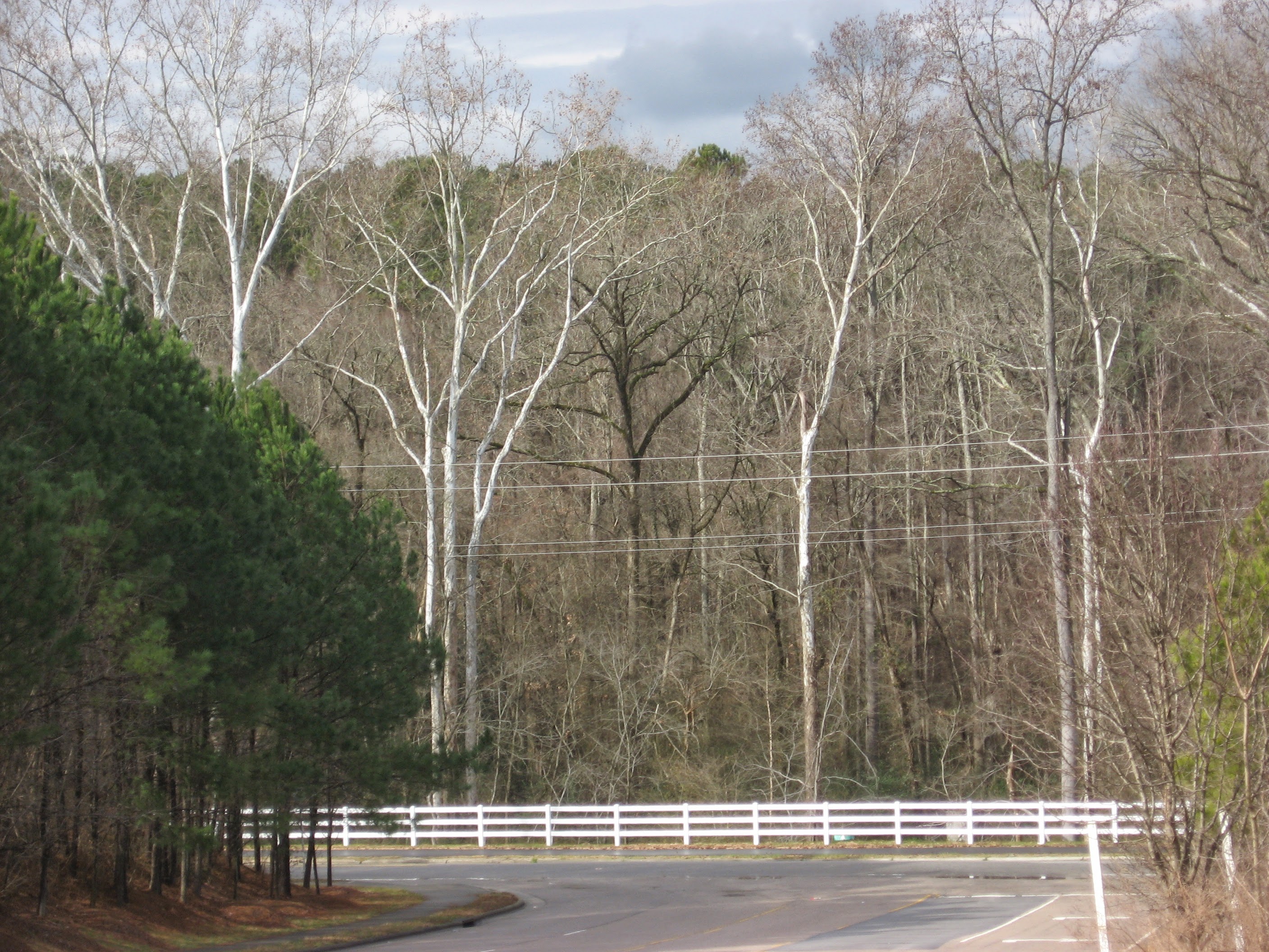
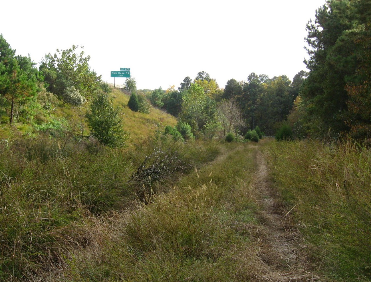
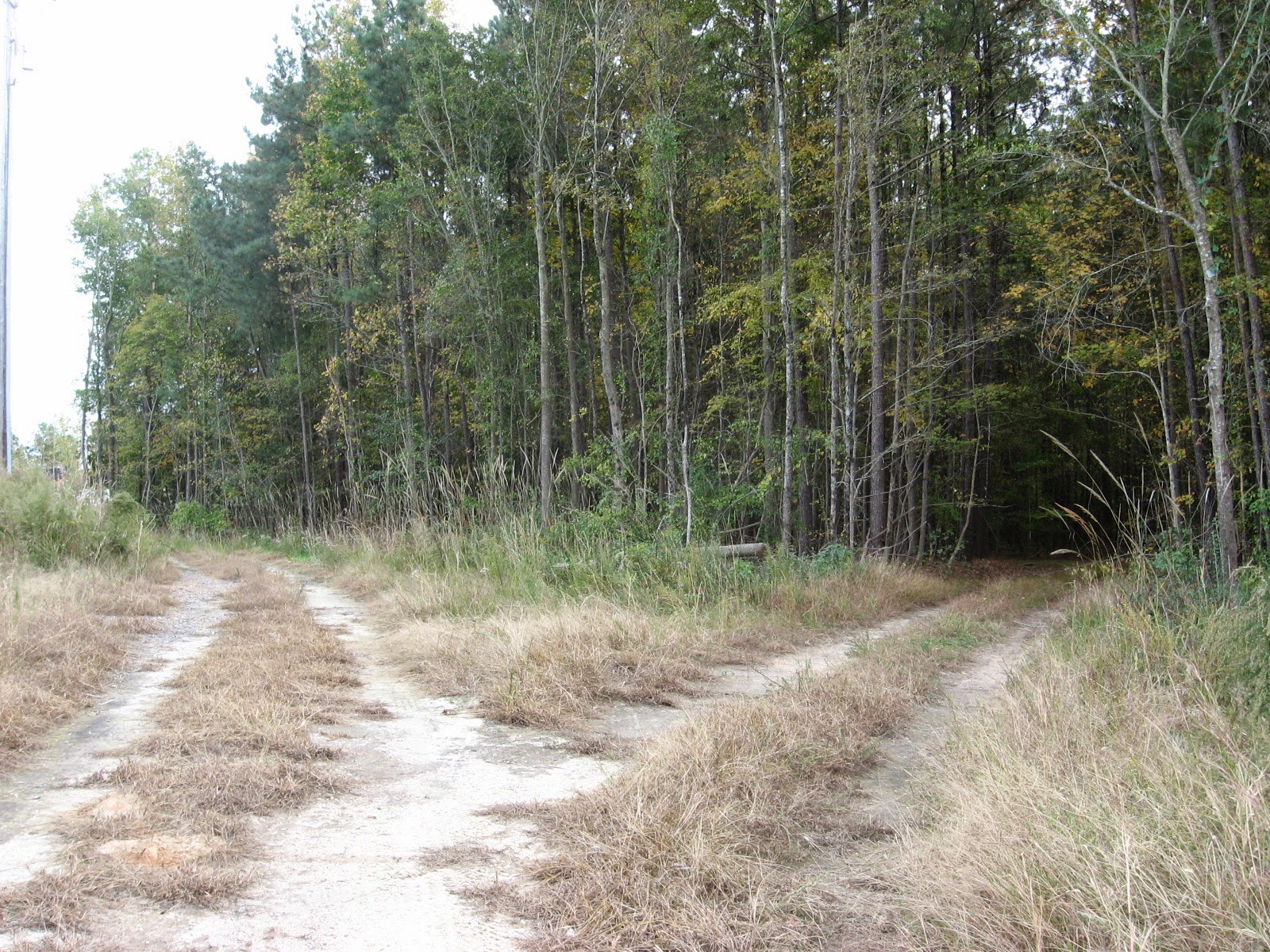
This area was a scrubby wetland with a smattering of drier tussocks and paths through it until the construction of the Raleigh Boulevard bridge. Many relics of the former trees dot the wide expanse of water. There is thus a small justiofication for the term used by locals and myself, Raleigh Swamp, though in fact this is a marsh. Whatever you call it, it’s a great place to bike walk, fish, or bird watch.

Below is the illustration I created from the lead photograph for my new book, the Natural History of Raleigh. Raleigh Swamp is featured in Chapter Four.  Happy trails!

The Natural History of Raleigh


Advertisement

May 20, 2015

Raleigh Nature Starts a Shift Westward With Lake Lynn Residency

Filed under: About & reflection, Nature Lore, Rural Raleigh, waterways, West Raleigh — Tags: , , , , , — raleighnaturalist @ 7:25 pm
A red-throated loon shows his Springtime stuff at Lake Lynn  in northwest Raleigh

A cormorant shows his Springtime stuff at Lake Lynn in northwest Raleigh

Blog News June 2015
This blog always centered on a book project: The Natural History of Raleigh, which now exists as a finished manuscript of 25,000 words I am working to get published. Having retired from over twenty years as a special educator, my wife Cara and I are selling our Oakwood home and moving to Asheville, setting up book arts studios as well as a big garden and small greenhouse to grow food, papermaking fibers, and flowers. For Cara’s final year of teaching, we are renting a small apartment that overlooks Lake Lynn. The blog will eventually take on a state-wide perspective, but will always focus on urban natural areas and have plenty of posts about Raleigh. For now, enjoy the Lake Lynn and Falls Lake areas I will pop into when in Raleigh, while I explore and document what to show you up in Baird Cove.  Best,  John
Sliders at Lake Lynn

Many kinds of wildlife inhabit Lake Lynn, but (for enthusiasts) it has a citywide reputation for its turtles.

Lake Lynn, along with Shelley Lake, was created to provide flood protection to Crabtree Valley Mall, which was constructed in a former muddy cow pasture and flooded soon after it was built. Hare Snipe Creek, which feeds Lake Lynn, runs from the back of Tabernacle Church on Leesville nearly due south all the way to Crabtree by the Golden Corral headquarters on Glenwood Avenue. Lake Lynn has a gigantic earthen dam but is normally quite shallow, and its edges are dissected by the numerous small creeks and freshets that formerly found their way to Hare Snipe Creek. A popular greenway with long boardwalks encircles the Lake, and a spur follows the soggy wetlands of its headwaters up to a public park. At uncrowded times (and I’m talking people driving and parking at my apartment complex just to walk here) it’s an opportunity for some remarkable encounters with nature.

ducks

Some of the more interesting  birds to watch are naturalized escapees – dark, red-wattled Muscovy ducks and aggressive white barnyard geese. Lake Lynn itself is a mixture of native and natural features blended with the man-made lake and the surrounding (relatively wooded) apartments and houses. The Canada geese, well described in an earlier post, are so numerous and boisterous as to evoke aquatic chickens as they honk out the rising day outside our windows each morning.

 An Enticing Nearby Area

Cypress trees on the southwestern shore of Falls Lake

Cypress trees on the southwestern shore of Falls Lake

Just a few miles north of Lake Lynn I can cross over the highest spot in Wake County – Crestmont off Leesville Road – and travel out of Crabtree Creek’s watershed into that of the Neuse, inundated by Falls Lake. North of 98, off Baptist Road, is an access point for the Mountain-to-Sea Trail, which traces the southern shore of Fall Lake. Here a juncture of powerline cuts and shallow lobes of the lake provide wide open views and a nifty look at a population of cypress. There is a stunning serpentine boardwalk that serves the trail, and a raised bridge over Lick Creek with gorgeous views. More to come, as well as more on the whole stretch from here to the Rollingview Marina.

Lick Creek footbridge

cypress in Falls Lake

January 26, 2015

Anderson Point Anchors the Union of Crabtree and the Neuse

moss mountains by Crabtree

moss on a rock outcrop by lower Crabtree Creek

Crabtree is usually a low-flow creek, but after long and heavy rains, its flow can rival the Neuse River, of which it is a major tributary. The newly completed lower Crabtree Trail, featured in my previous post, provides a very long bridge that gives you a good sense of Crabtree’s large size as it approaches Anderson Point to flow into the Neuse.

Crabtree bridge at Anderson

Crabtree begins in Cary and after passing though Morrisville and Umstead Park, arcs across north Raleigh, roughly parallel to 440. It gathers water from Brier Creek in the north to downtown Cary in the south: a huge swath of Wake County’s terrain. As it approaches Anderson Point Park, it is large and wide.

Crabtree Trail crosses the creek at Anderson Point

Crabtree Trail crosses the creek at Anderson Point

Anderson Point Park is a large complex amenity. Off Rogers Lane (from New Bern Avenue or New Hope Road) you can park before the bridge over the 64 bypass to access the Neuse River Trail and canoe put-in, or cross the bridge into the park proper, where large fields, picnic shelters, and specialty gardens attract many local families. At the bottom of this large and open expanse, a wooded path leads to the confluence of Crabtree and the Neuse. The connector with the Crabtree Trail is back at the top of the slope.

Crabtree Trail at Anderson

Following this path northward from the park, one gets a great sense of Crabtree’s lower floodplain forests. Large beeches are profuse, and American holly greens up the dark stands of winter sweetgum and ash.

beech on lower Crabtree Trail

American holly in Crabtree's floodplain

American holly in Crabtree’s floodplain

The ancient age of Crabtree can be inferred from sandstone outcrops – huge rocks built by the creek itself over eons. Just before the creek crosses under Rogers Lane, it crosses over flat sheets of even older, harder rock and is only a few inches deep in times of low water. On the day of this visit, the water was high and the “rapids” were only visible as white ruffles in the brown flow.

rocks by lower Crabtree

My favorite spot on both my recent visits was a rocky overhang where the creek makes a sharp turn before approaching the river. The rocks are covered with a minature forest of moss, and on the second visit they were sunlit and quite photogenic.

moss on rocky overhang

Buckeye Trail, seen below, represents the oldest and “wildest” section of Raleigh greenway. Now it also presents a connection to a huge greenway loop around Raleigh, utilizing the Neuse River trail and the long extension of the Walnut Creek Trail to the River. Anderson Point is a great focal point for these connections, The exciting Mingo Creek Trail connection, just upstream, will have to wait for another post. Happy hiking or biking on our wonderful, ever-growing system!

Winter sycamores guard Buckeye Trail connector on Milburnie Road

Winter sycamores guard Buckeye Trail connector on Milburnie Road

November 6, 2014

Crabtree Trail to the Neuse River

Crabtree from bridge

Crabtree Creek from the new greenway bridge near Sunnybrook Road

I can now ride my bike from my house downtown to the Neuse River! The final leg of Crabtree Creek Trail, from Milburnie Road down to Anderson Point, is completed. A recent post shows the construction off Milburnie, but this one focuses on the wonderfully bucolic, downright meditative bike ride I had through the large, mostly undeveloped area surrounding Crabtree Creek’s intersection with New Hope Road. Several new bridges are part of this project, and contribute to the beautiful views of Crabtree Creek.

connector on Milburnie

From Oakwood, I rode down Milburnie to the trailhead of Buckeye Trail, the subsection of this trail that represents the oldest existing section of Raleigh greenway. Here a sidewalk connector takes you past the old Swain’s Steakhouse, under New Bern Avenue, and over a small bridge to the edge of the apartment complex off Calumet Drive.

new greenway bridge over Crabtree near Calumet Drive

Just past the bridge seen above I found a wonderful detour – a utility road that dives through fields along 440 and goes to the pumping station just below the first ramp for the 64 bypass off 440.

utility road

The dirt road was eroded but a marvelous adventure. I reached a “Robert Frost choice” and ducked into the shady woods for a couple of hundred yards before turning back to the paved greenway.

path to choose

The greenway passes under a maze of highway overpasses, and just off it is a tempting series of railroad beds, more utility roads, and overgrown fields. More tempting detours – but not for today!

highway near trail

 This area, due south of the Wake Animal Control Center and the old landfill, reminded me of old Raleigh, when waste fields and enticing lanes through them were much more common. I’m sure dirt bikers love this spot.

high overpass

The imposing arc of highway above the greenway here is the height of that ramp for the 64/264 Bypass, and it was both beautiful and sad for me to see. The new greenway passes very close to the spot where the borrowed sports car of some teenagers coming home from a ball game at very high speed, flew off this ramp to their deaths. The tragedy left a charred scar for several years, which I would see on forays from the old pecan farm near Poole Road and Sunnybrook (not Oakview, but the non-public part west of 440). Recalling it on this trip, I was again amazed at just how high this ramp soars.

long bridge

The greenway re-crosses the creek on an extended bridge near a swampy area where the water from Jones Lake and the previously mentioned abandoned farm comes in. There are long stretches with woodland on both sides, and I encountered just enough other bikers not to feel isolated.

rock outcrop

A large granite outcrop marks a sharp turn in the creek just east of New Hope Road. Up stream, the late afternoon light and the fall leaves made for a very nice scene. This would also be a great place to fish.

bend

Crabtree Creek bends as it makes it final approach to the Neuse River

field below New Hope

When I got to a large powerline field, I turned for home. The end of this trail, Anderson Point, is a story in itself, and I hope to take Cara biking on this trail soon, starting at the mouth of Crabtree and traveling upstream. I’ll keep you posted. In the meantime, give this wonderful section, with highly varied landscapes and a few surprises, a try soon.

A shallow Crabtree slides over a gtanite bed near New Hope Road

A shallow Crabtree slides over a granite bed near New Hope Road

November 16, 2013

Great Blue Heron Rookery Exposed, As Are Buckeye’s Beaches

Blue Heron or hawk nest

Google map of rookery

The sewer work beside Crabtree Creek in East Raleigh has provided temporary easy access to a favorite, mostly secret feature of Raleigh Swamp: a small permanent marsh fed by Pigeon House Branch which provides a yearly haven for breeding great blue herons and red-shouldered hawks.  The site, seen below, is not pretty but has water all year and a wide variety of cover, and so provides a perfect nursery for the babies of large predatory water-loving birds.

Blue Heron rookery at Raleigh Swamp

The site can be seen by walking a short way down the new sewer cut off of Crabtree Boulevard. After crossing a nifty and temporary metal bridge over Pigeon House Branch, just before it reaches Crabtree, Crabtree Creek is on your right and the small marsh is on the left.  It makes me think of gator country for very small gators, though the “gators” that startle one here are furry and have criss-crossed tails.

gator country for very small gators

Between sewer cuts the best access to this site, which is currently low, is from the railroad line parallel to Capital Boulevard.  The greenway is just across the creek, and  you can often see the activity of the breeding birds on Raleigh Swamp walks, while looking SW across the creek.

low water at Blue Heron marshedge of small marshmarshy area off Crabtree Boulevard

Across Raleigh Boulevard, the sewer project swallows the greenway and makes it appear impassable. But I was slightly amazed to see a jogger and biker come right through the construction. A very friendly construction crew, which was hard at work this Saturday morning.

construction sign on Buckeye

Buckeye jogger approaches bulldozer

Buckeye jogger approaches bulldozer

Buckeye jogger heads into construction site

beach at hackberry grove by Crabtree

Walking Buckeye eastward toward Rollingwood and Milburnie, I could see very well here in late fall the sandy beaches, old and new, that ring the inner banks of Crabtree’s curves.  Beaches also form just downstream of large obstacles, typically fallen trees.  Just such a beach has newly formed across the greenway from the first stretch of this walk.

new Buckeye beach off Ral blvd

pebbly beach on Crabtree off Yonkers

pebbly beach on Crabtree

One of my favorite Buckeye beaches is Goose Beach, which is no longer a beach but has become a vegetated  bank.  This happened when Crabtree changed its course, right after Hurricane Floyd in 1999.  My children, ten and nine at the time, watched our sandy gosling playpen (thus the name) slowly change as it swallowed the previous turning path of the creek and divert it back to the more ancient path it had abandoned for several decades.

former Goose beach

former Goose Beach at Crabtree’s turn, which was abandoned in 1999

What could make such a change?  Besides a hurricane flood to carve the new path, there needs to be a blockage in the old path.  Below is just such a near blockage right below Goose beach.  Who knows when Crabtree will turn again?

Crabtree Creek constricted at turn

Crabtree Creek constricted at turn

Bonus pics

hackberry grove on Buckeye just east of Raleigh Boulevard

hackberry grove on Buckeye just east of Raleigh Boulevard

lower rockfall on Crabtree below Raleigh Boulevard

lower rockfall on Crabtree below Raleigh Boulevard

spiky herb at Raleigh swamp

November Mistletoe

November Mistletoe

September 16, 2013

Excavating East Raleigh

Filed under: East Raleigh, Greenways & Parks, waterways — Tags: , , , , — raleighnaturalist @ 6:17 pm

excavating Longview

The massive sewer work that stretches across east Raleigh is accompanied by a different kind of excavation.  Above is upper Longview Lake from Bertie Drive below Enloe High School.  For years silt from construction on the hill behind it has steadily filled this section.  Now they are dredging the silt out and restoring the pond.  The lower section is larger and much more healthy.  All our our lakes and ponds gradually fill in with plant matter and eroded soil, but this happened too fast and I am glad they are fixing it. Now if they would just re-allow fishing!  More pics below – click to enlarge.

Longview low spotupper Longview Lake

Just down the road from this, where Milburnie hits the extension of Sunnybrook across New Bern, the old beginning of the Raleigh Greenway, Buckeye Trail,  will soon be extended all the way down to Anderson Point, where Crabtree hits the Neuse River.  Very exciting! Right now the spot is part of the huge sewer work alluded to in the first sentence.  The first picture below is looking toward Milburnie and is actually the path of the new extension.  The new greenway should be in place this spring.

future greenway to the Neuse

sewer runs under greenway at rocky overhang

Up the trail toward Raleigh Swamp, a fallen tree has created a dump of sand that makes quite a beach.  All the sand and silt seen in this post is terrible for the mussels and microfauna that inhabit the creek’s bottom.

fallen tree creates sandbank

Bonus pic: deer tracks where  I climbed down to view the sandbank.

deer prints at Crabtree

all posts on Buckeye Trail

Older Posts »

Create a free website or blog at WordPress.com.