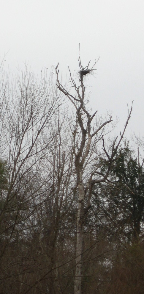
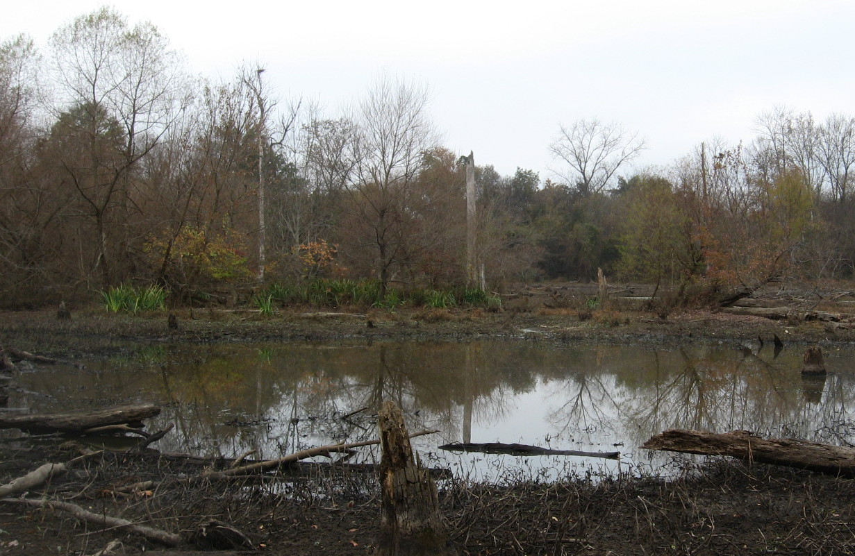
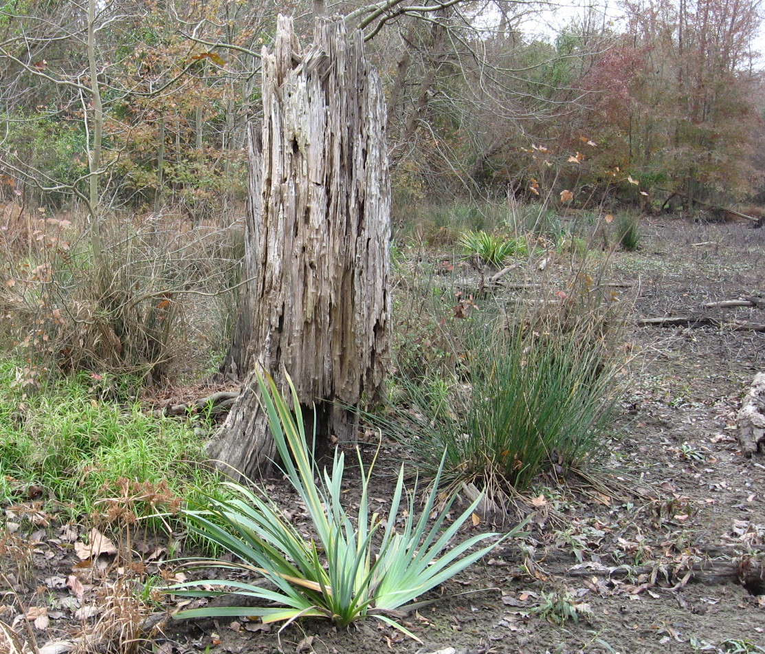
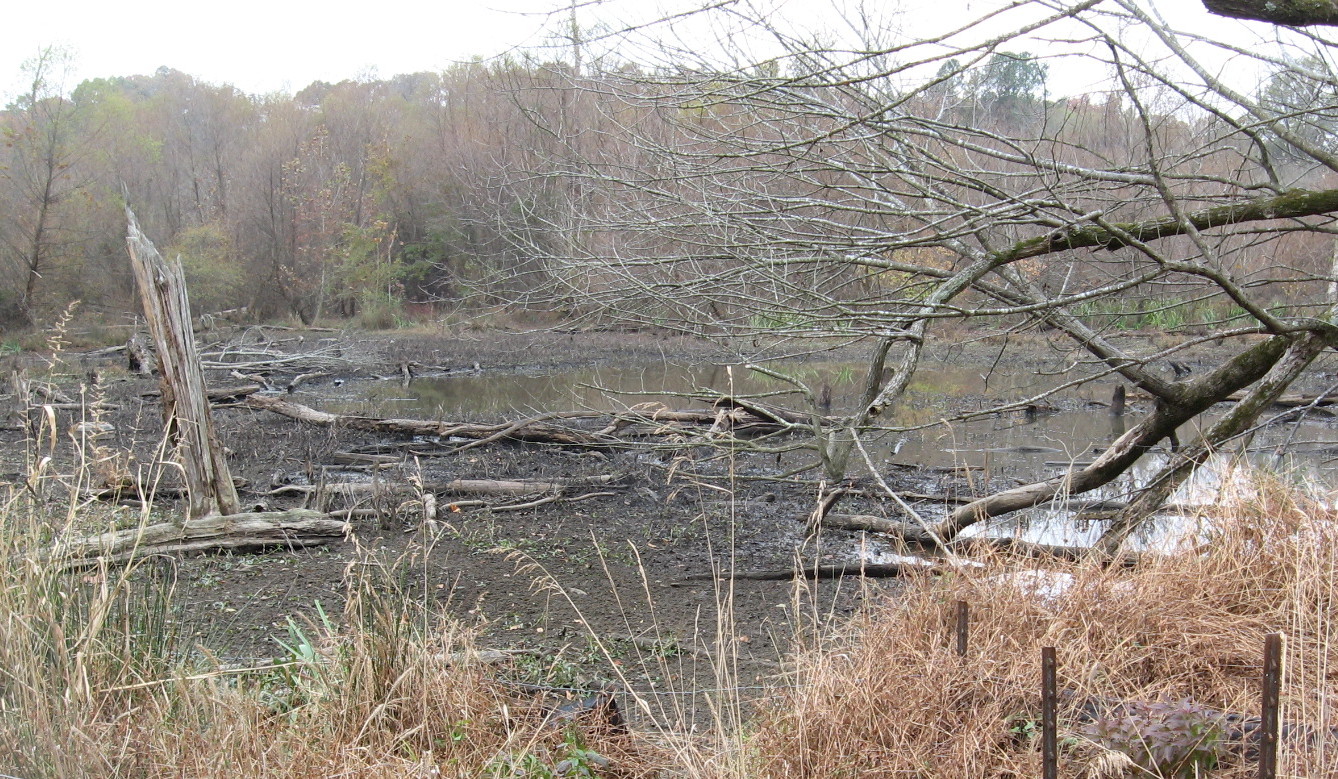
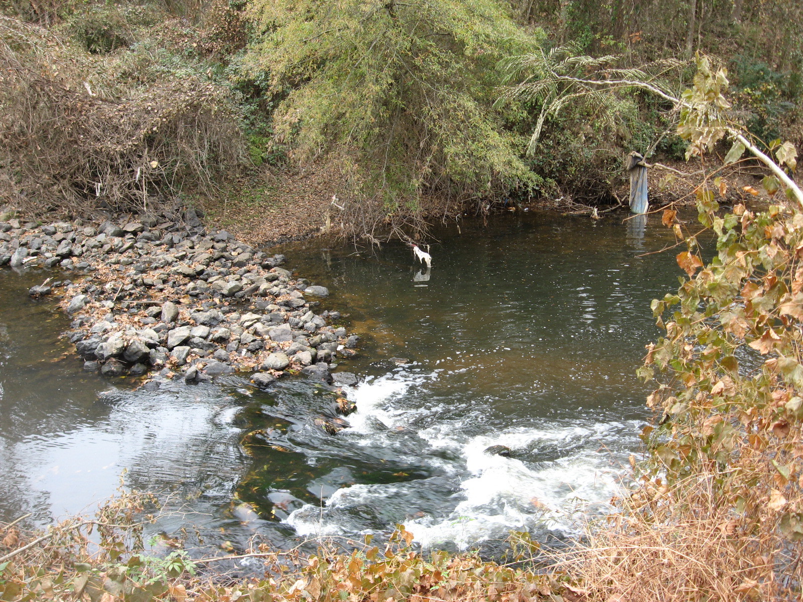
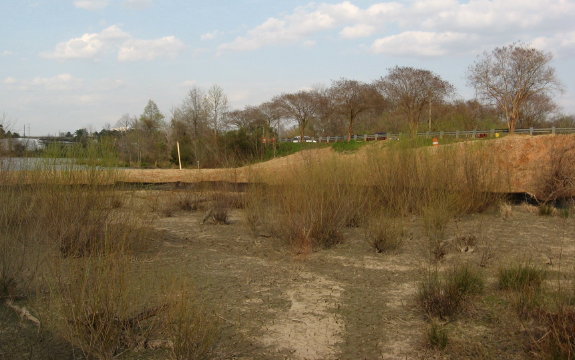
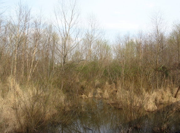
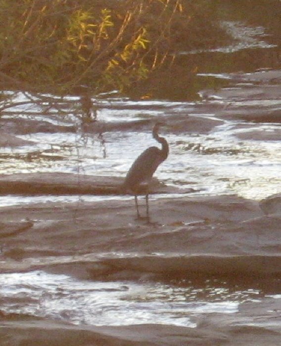
The sewer work beside Crabtree Creek in East Raleigh has provided temporary easy access to a favorite, mostly secret feature of Raleigh Swamp: a small permanent marsh fed by Pigeon House Branch which provides a yearly haven for breeding great blue herons and red-shouldered hawks. The site, seen below, is not pretty but has water all year and a wide variety of cover, and so provides a perfect nursery for the babies of large predatory water-loving birds.

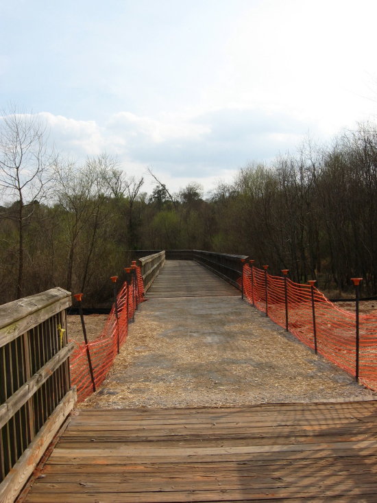
The site can be seen by walking a short way down the new sewer cut off of Crabtree Boulevard. After crossing a nifty and temporary metal bridge over Pigeon House Branch, just before it reaches Crabtree, Crabtree Creek is on your right and the small marsh is on the left. It makes me think of gator country for very small gators, though the “gators” that startle one here are furry and have criss-crossed tails.

Between sewer cuts the best access to this site, which is currently low, is from the railroad line parallel to Capital Boulevard. The greenway is just across the creek, and you can often see the activity of the breeding birds on Raleigh Swamp walks, while looking SW across the creek.
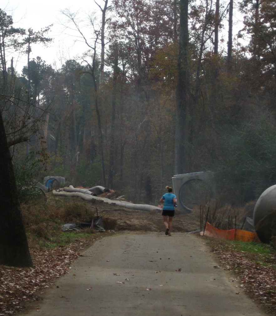
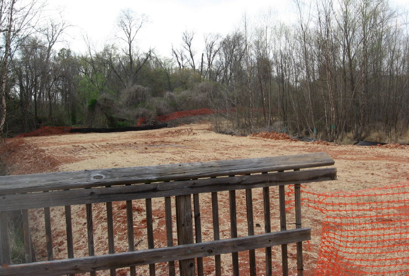
Across Raleigh Boulevard, the sewer project swallows the greenway and makes it appear impassable. But I was slightly amazed to see a jogger and biker come right through the construction. A very friendly construction crew, which was hard at work this Saturday morning.


Buckeye jogger approaches bulldozer

Walking Buckeye eastward toward Rollingwood and Milburnie, I could see very well here in late fall the sandy beaches, old and new, that ring the inner banks of Crabtree’s curves. Beaches also form just downstream of large obstacles, typically fallen trees. Just such a beach has newly formed across the greenway from the first stretch of this walk.

-

pebbly beach on Crabtree

One of my favorite Buckeye beaches is Goose Beach, which is no longer a beach but has become a vegetated bank. This happened when Crabtree changed its course, right after Hurricane Floyd in 1999. My children, ten and nine at the time, watched our sandy gosling playpen (thus the name) slowly change as it swallowed the previous turning path of the creek and divert it back to the more ancient path it had abandoned for several decades.
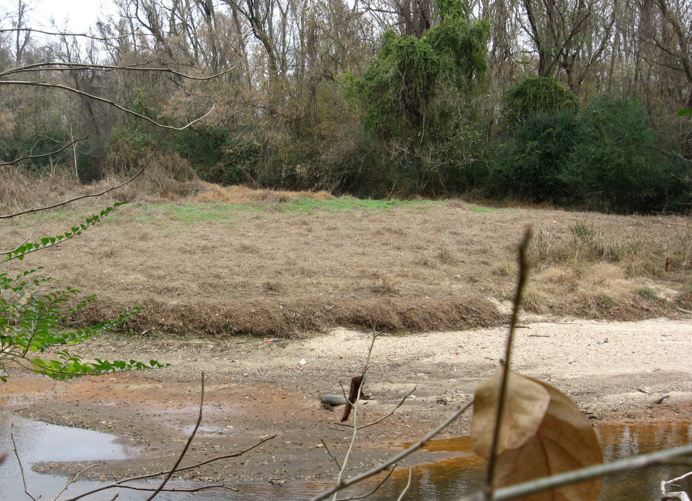
former Goose Beach at Crabtree’s turn, which was abandoned in 1999
What could make such a change? Besides a hurricane flood to carve the new path, there needs to be a blockage in the old path. Below is just such a near blockage right below Goose beach. Who knows when Crabtree will turn again?
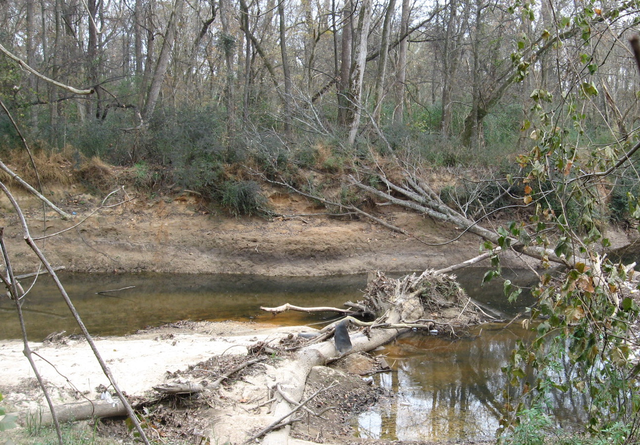
Crabtree Creek constricted at turn
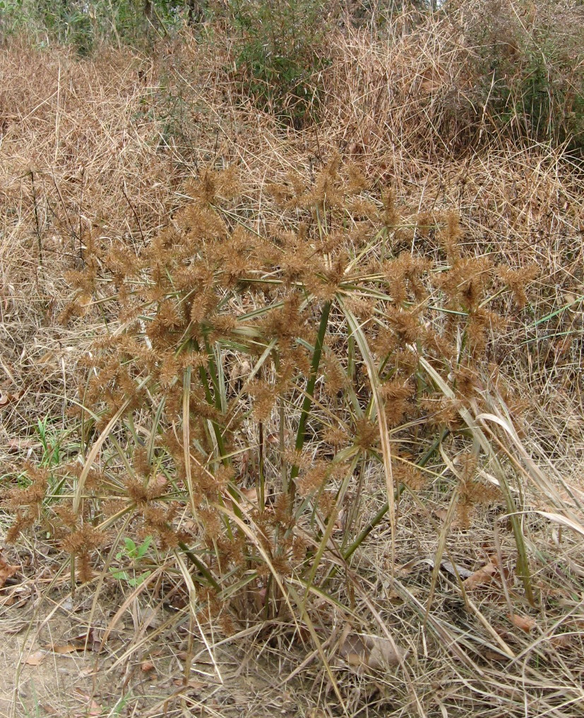
Bonus pics
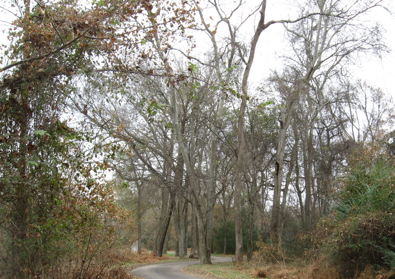
hackberry grove on Buckeye just east of Raleigh Boulevard
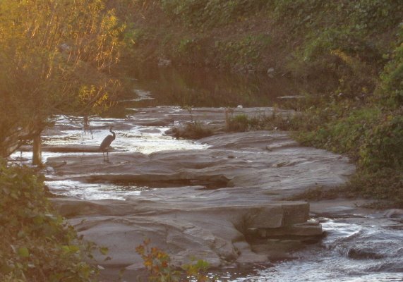
lower rockfall on Crabtree below Raleigh Boulevard
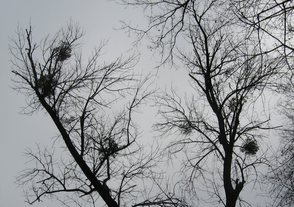
November Mistletoe


