
I had the most nature fun OFF the greenway in a long time, searching the headwaters of Marsh Creek. This prototypical Piedmont creek – running due Southeast and carrying red clay hills down to sandy flats – ends up dumping its large steady flow of water into a huge wetland at the Yonkers Road section of the Beltline – thus its name. This lower section is full of treats, and will constitute part two of this post. Recently I browsed through North Raleigh sewer cuts and subdivisions, climbing up Marsh Creek as I did. My destination – the headwaters – came as a surprise, and emphasized the fascinating cross section of Northeast Raleigh this creek travels through on its way to Crabtree.

upper reaches of Marsh Creek on Google Maps
Marsh Creek actually starts just above the blue line showing the creek on this map – at Sutton Square of Falls of the Neuse, its twin springs cradling one of the busiest – and for pedestrians, one of the most dangerous – stretches of four lane in Raleigh. This major creek, which runs for just over five miles from Spring Forest to its intersection with Crabtree, begins on the west side of Falls of the Neuse as a tiny landscaped pond (next to Northbend), and on the east side as the rocky ditch seen below.
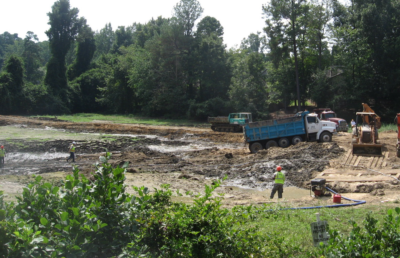
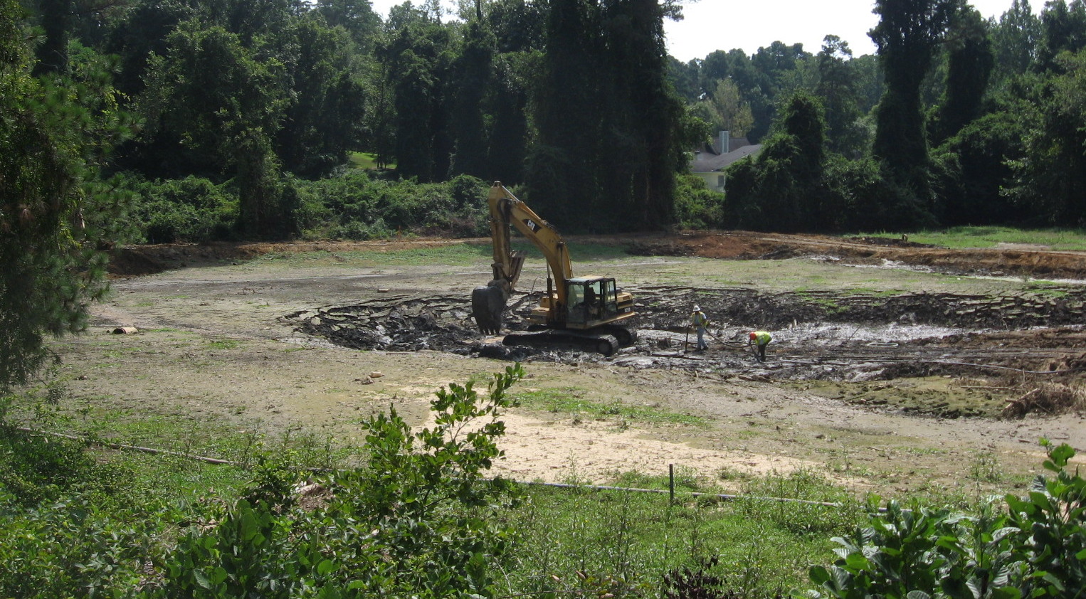
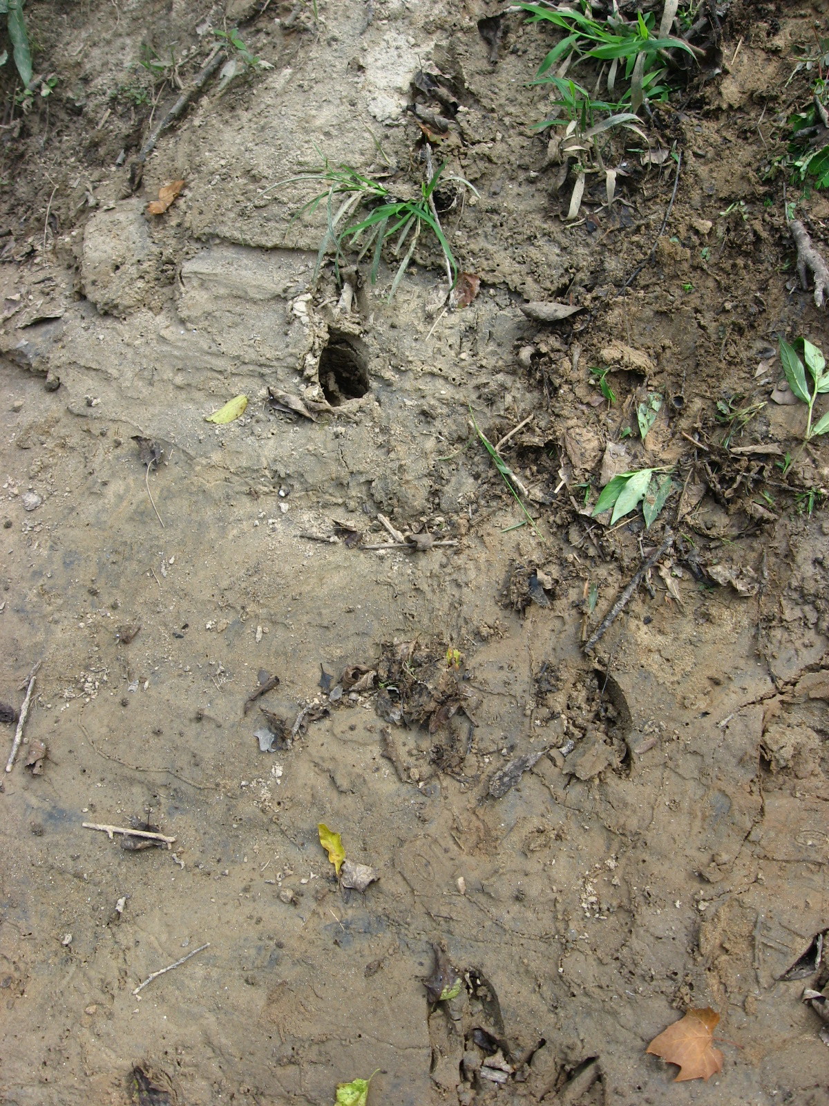
 The little brook picks up size quickly as it travels downhill through Northeast Raleigh neighborhoods – alternating older large-lot subdivisions with newer townhouse projects. It reaches a large natural area just above Old Wake Forest Road, and that’s where I had such fun. A wide sewer cut gave access to a scrubby but rich haven tucked between neighborhoods, and I was able to see the deer tracks seen at the top of the post, a deer bedroom of crushed broomstraw, cute little coon prints on a sandbank, and a glimpse of a solemn woodchuck, who quickly scrambled into his hole.
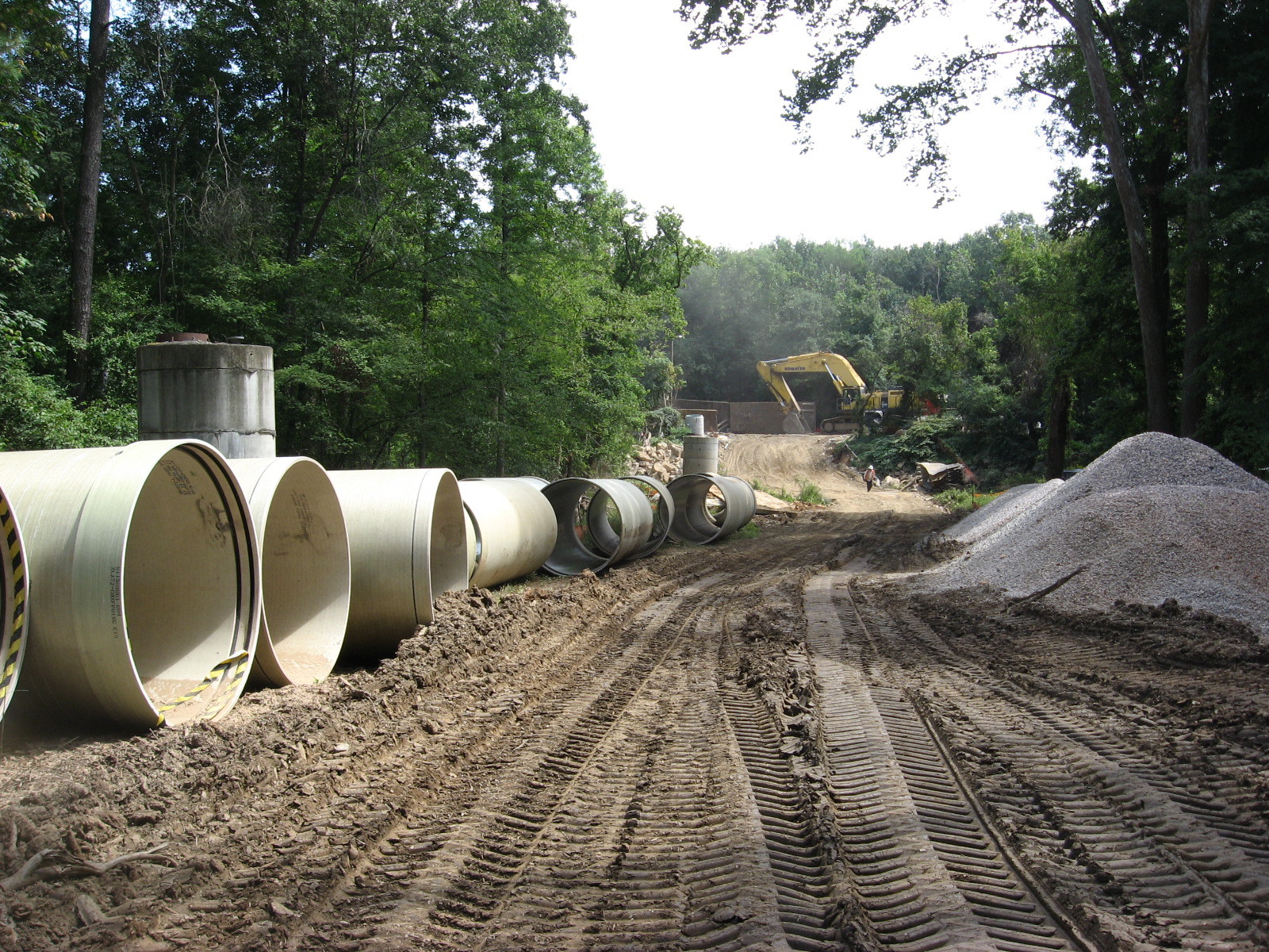
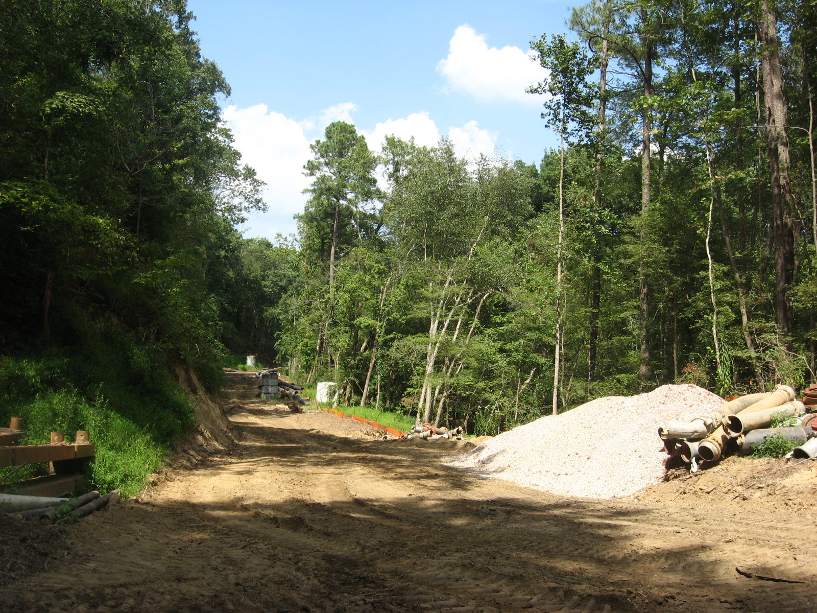
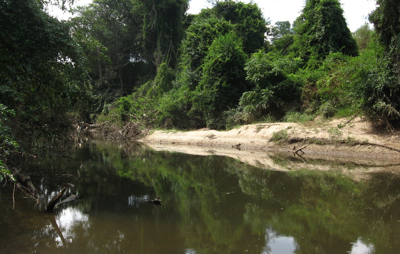
 Above, a mossy bank just north of Old Wake Forest Road. Below is the sewer cut, which travels through several acres of undeveloped lowland.

After crossing Atlantic Avenue, where I found another hillside natural area covered with large, iron-rich boulders, the creek parallels that thoroughfare southward for a couple of miles – once again, touching on large older homes and much denser new developments. Before crossing New Hope Church Road it accepts the run-off from Mini-City to the east, and then enters Brentwood. Here, the creek is the centerpiece of a long, narrow neighborhood park that runs down the center of the venerable and “transitioning” Brentwood subdivision. It accepts the water from a neighborhood pond on Huntleigh (doubtless called a lake by the residents), and dives under Capital Boulevard, where we will pick it up the next time we visit Marsh Creek.

upper stretch of Marsh Creek
Photo album of upper Marsh Creek


