The Raleigh Naturalist

February 14, 2019

Raleigh Swamp Recovers from a Swamping

Raleigh Swamp is a prominent, even dramatic feature of the Raleigh Greenway at the intersection of Crabtree Boulevard and Raleigh Boulevard, joining Buckeye Trail to Middle Crabtree Trail and crossing a large shallow body of water with a causeway. The water was never intended to be permanent, but a wetland was turned into a shallow lake by the work of beavers, as explained in this 2013 post.

The place is a paradise for visiting birds, thirsty deer and other wildlife, and an amazing collection of turtles that bask by the piled up dozens on the many logs protruding from the water. The causeway was built with best ecological practices, minimizing disruption, but it has needed repairs recently because of extensive flooding. Cara and I visited in November 2018 and saw some of the work.

The crossing of the greenway with a utility cut has been strengthened and guarded with metal gates. The northwestern end of the site has a short stretch of asphalt that has repeatedly been ruined as the flooded marsh cuts through the shoulder of Crabtree and dumps excess water into the creek. looks like they are going to repair (instead of culvert) it once again, but this spot has closed the causeway, officially that is, for months. Most people just make their way around the mild barricades.

Different species of trees can tolerate shorter or longer periods of flooding. Ash, river birch and of course willows can survive many weeks of inundation. But if flooding lasts too long, trees die and the vegetative regime changes.

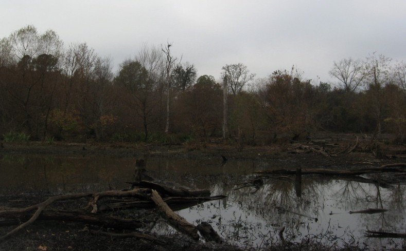
This area was a scrubby wetland with a smattering of drier tussocks and paths through it until the construction of the Raleigh Boulevard bridge. Many relics of the former trees dot the wide expanse of water. There is thus a small justiofication for the term used by locals and myself, Raleigh Swamp, though in fact this is a marsh. Whatever you call it, it’s a great place to bike walk, fish, or bird watch.

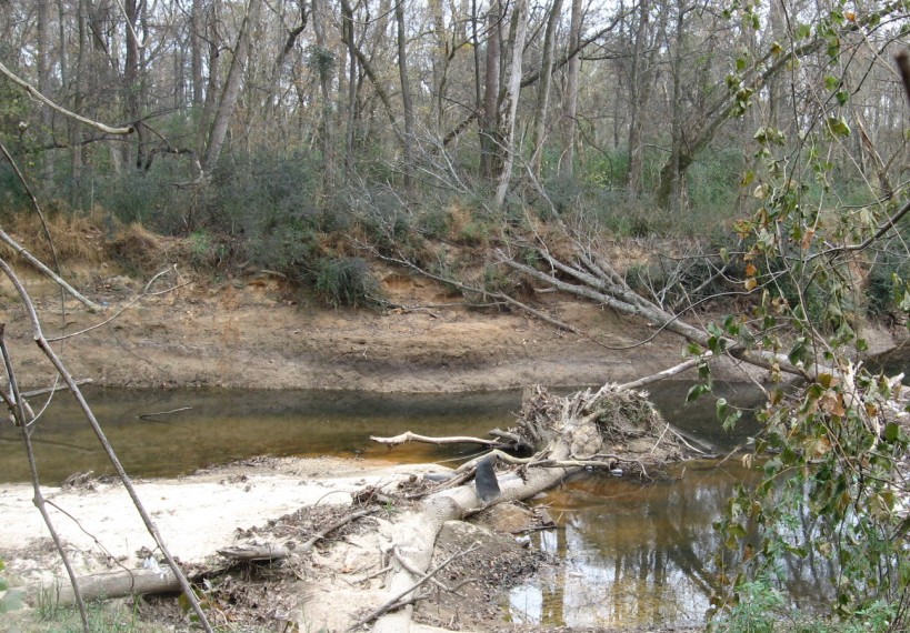
Below is the illustration I created from the lead photograph for my new book, the Natural History of Raleigh. Raleigh Swamp is featured in Chapter Four.  Happy trails!

The Natural History of Raleigh


November 16, 2013

Great Blue Heron Rookery Exposed, As Are Buckeye’s Beaches

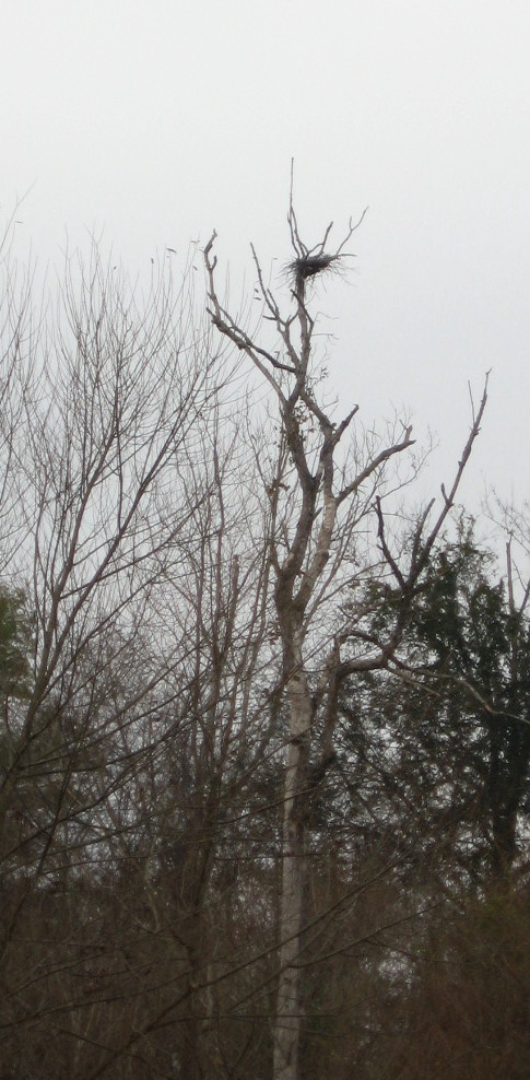
Blue Heron or hawk nest

Google map of rookery

The sewer work beside Crabtree Creek in East Raleigh has provided temporary easy access to a favorite, mostly secret feature of Raleigh Swamp: a small permanent marsh fed by Pigeon House Branch which provides a yearly haven for breeding great blue herons and red-shouldered hawks.  The site, seen below, is not pretty but has water all year and a wide variety of cover, and so provides a perfect nursery for the babies of large predatory water-loving birds.

Blue Heron rookery at Raleigh Swamp

The site can be seen by walking a short way down the new sewer cut off of Crabtree Boulevard. After crossing a nifty and temporary metal bridge over Pigeon House Branch, just before it reaches Crabtree, Crabtree Creek is on your right and the small marsh is on the left.  It makes me think of gator country for very small gators, though the “gators” that startle one here are furry and have criss-crossed tails.

gator country for very small gators

Between sewer cuts the best access to this site, which is currently low, is from the railroad line parallel to Capital Boulevard.  The greenway is just across the creek, and  you can often see the activity of the breeding birds on Raleigh Swamp walks, while looking SW across the creek.

low water at Blue Heron marshedge of small marshmarshy area off Crabtree Boulevard

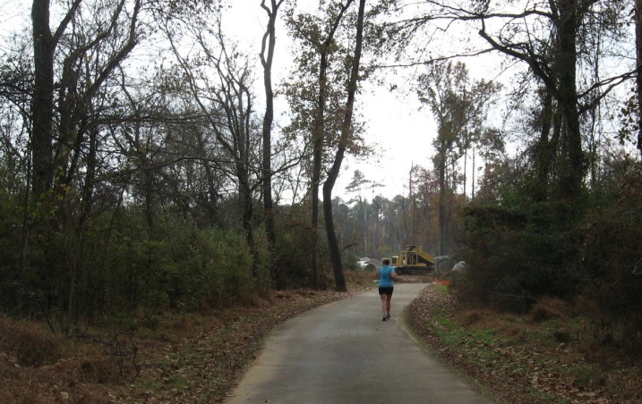
Across Raleigh Boulevard, the sewer project swallows the greenway and makes it appear impassable. But I was slightly amazed to see a jogger and biker come right through the construction. A very friendly construction crew, which was hard at work this Saturday morning.

construction sign on Buckeye

Buckeye jogger approaches bulldozer

Buckeye jogger approaches bulldozer

Buckeye jogger heads into construction site

beach at hackberry grove by Crabtree

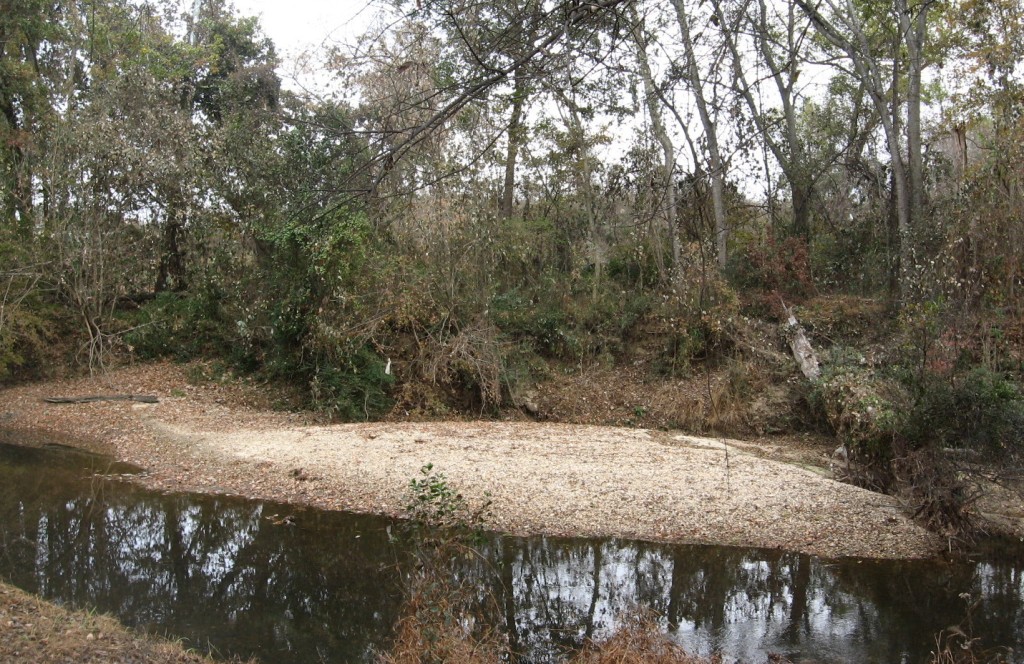
Walking Buckeye eastward toward Rollingwood and Milburnie, I could see very well here in late fall the sandy beaches, old and new, that ring the inner banks of Crabtree’s curves.  Beaches also form just downstream of large obstacles, typically fallen trees.  Just such a beach has newly formed across the greenway from the first stretch of this walk.

new Buckeye beach off Ral blvd

pebbly beach on Crabtree off Yonkers

pebbly beach on Crabtree

One of my favorite Buckeye beaches is Goose Beach, which is no longer a beach but has become a vegetated  bank.  This happened when Crabtree changed its course, right after Hurricane Floyd in 1999.  My children, ten and nine at the time, watched our sandy gosling playpen (thus the name) slowly change as it swallowed the previous turning path of the creek and divert it back to the more ancient path it had abandoned for several decades.

former Goose beach

former Goose Beach at Crabtree’s turn, which was abandoned in 1999

What could make such a change?  Besides a hurricane flood to carve the new path, there needs to be a blockage in the old path.  Below is just such a near blockage right below Goose beach.  Who knows when Crabtree will turn again?

Crabtree Creek constricted at turn

Crabtree Creek constricted at turn

Bonus pics

hackberry grove on Buckeye just east of Raleigh Boulevard

hackberry grove on Buckeye just east of Raleigh Boulevard

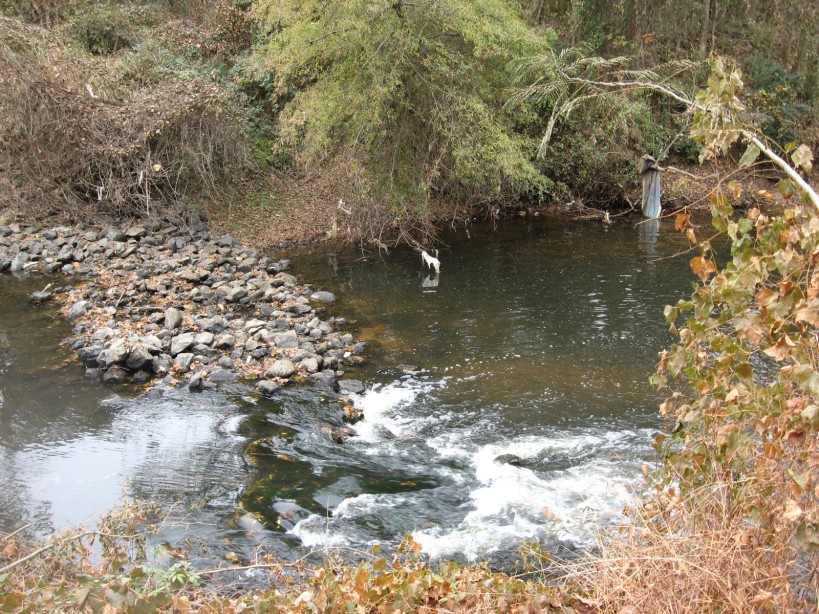
lower rockfall on Crabtree below Raleigh Boulevard

lower rockfall on Crabtree below Raleigh Boulevard

spiky herb at Raleigh swamp

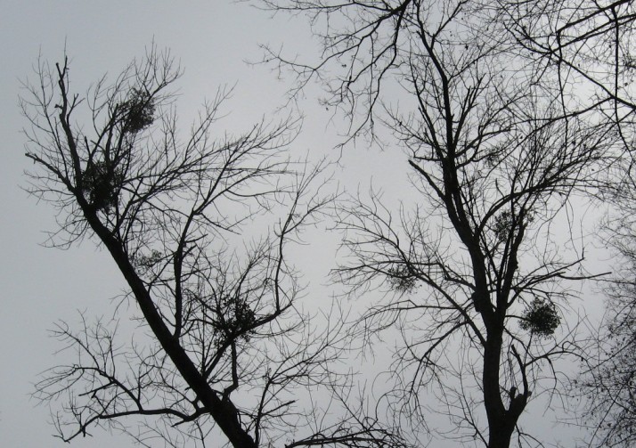
November Mistletoe

November Mistletoe

April 9, 2013

Raleigh Swamp Shifts with Sewer Project

sewer project meets Raleigh Swamp_1_1

The huge sewer project – seen above at Crabtree Boulevard looking toward the Mouth of Pigeon House Branch – has introduced a new geography to Raleigh Swamp, my name for the body of water off Raleigh Boulevard just north of its intersection with Crabtree Boulevard.  The large wooden causeway and gazebo were wonderful additions to the meeting of Buckeye trail and Middle Crabtree Trail.  Now the sewer project has dictated a large dam and concrete bridge section that bisects the “swamp.”  I know a real swamp is moving water with trees, but this lowland was dotted with dying trees for years after its establishment, and the snags of many remain as resting spots for herons, cormorants, and the occasional wood duck.  Canada geese and mallards breed here, while the turtle population has grown to a staggering level.  It is all thanks to the beavers.

Raleigh Swamp_1_1

When I first returned to Raleigh from Greensboro in 1980, they were starting to build the Raleigh Boulevard bridge over Crabtree Creek.  The caissons they used to sink the bridge piers were impressive, and Dulci, my black lab and I kept a close watch on the process.  At this time, the “Raleigh Swamp” area was a sometime wetland dotted with scrub trees and ribboned with the paths of homeless campers. Like many floodplains in the area, it got wet in the winter but stayed dry most summers.  The Boulevard project changed that, with a little help from the local beavers.  The transition was clarified for me by a city engineer years later through a comment on this blog in 2009.  I quote it in full below:

Was reading through your website after getting the link from the Fletcher Park Watergarden and noted that the “pond” off Raleigh Blvd was one of your favorite places. I thought I’d mention that this was actually a City of Raleigh mitigation project I designed many years ago to offset the environmental impacts from the construction of Raleigh Blvd. It was supposed to be a wetland but the beavers in the area had a different idea as they immediately blocked the culverts under the roadway causing the water to back up and form a permanent pond. Can’t say I object to the result of their efforts. It’s a beautiful spot and the addition of the greenway has made it accessible to the masses.

Mark Senior, PE, Senior Project Engineer, Water Quality Section, Stormwater Divsion of the City of Raleigh Public Works Department

The beavers have indeed made great use of the spot with several different lodges in different spots.  New generations of beavers tend to build their own lodge. Until I got the info from Mark, I assumed the construction of the road bed dammed up the water.  The water on the east side of Raleigh Boulevard acts more normally – rising and falling with rains and seasons.  I know the beavers play over there as well, because you can see their slides into Crabtree Creek as you walk down Buckeye toward Rollingwood.

Raleigh Swamp sewer dam_1_1

sewer pipe dam looking toward Crabtree_1_1

sewer dam bridge on causeway_1_1

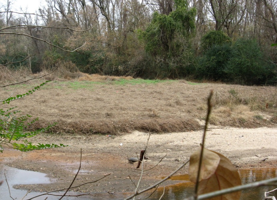
Getting back to the sewer project, you can see above the large dam across the wetland.  This, along with the upgraded line in general, has changed the location and depth of water around the edges of the marsh (which is technically what it is).  Some areas are now totally dry – at least for now – and some are substantially deeper.  No real harm done, since nature and time effect these kinds of changes all the time anyway.  but the newly dry areas, which were beaver playgrounds until now, will undergo an interesting and specialized kind of succession – new plants adapted to the new conditions will take over.   It should be a fascinating transition and Raleigh Nature will keep an eye on it.  Below are shots of the stranded areas.

dry area behind sewer dam_1_1dry wetland near stairs of causeway_1_1new dry area at Raleigh Swamp_1_1

The beavers had a lodge at the very spot pictured below years ago but abandoned it during the drought of the early 2000s.  Perhaps they will rebuild now that the water situation is restored!

former beaver lodge water restored!_1_1

All posts on Raleigh Swamp
previous post on this sewer project

January 5, 2009

Favorite Raleigh spots – 2008
Filed under: About & reflection, Gems & Surprises — Tags: , , , , , — raleighnaturalist @ 12:49 am

atlantic-ave-farm

     Well, Raleigh Nature is a year old – and haven’t we been through a lot, and boy, have I learned a lot!  This blog is just getting started in ways – more broad coverage of ALL of Raleigh ITBL, pages on invasive species, turtles and record trees, and addressing concerns and questions from readers, are all on my list.  But it was a good year and I’m very happy with the blog and most grateful for the responses.
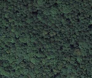
     Above is a Google Earth snapshot of what this blog is really all about – lost in wilderness inside the beltline – in this case,  the woodlot off the greenway at Atlantic Ave and Hodge Road, which was recently destroyed.   Let’s enjoy them while they’re here!  Below are my Raleigh Nature favorites for 2008.

**************

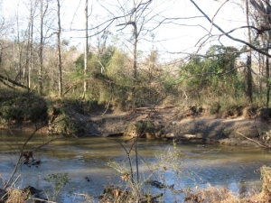
Crabtree near Milburnie Rd.

My favorite place to sit on a log. 

   Amidst the large tree stands that line Buckeye Trail, the oldest and easternmost section of Raleigh’s greenways threads its way beside the deep meandering banks of Crabtree.  Here we are looking at the spot where Marsh Creek marsh spills over into Crabtree after a heavy rain.  Nice spot for animals to come down for a drink, and above is the marsh skyline to scour for hawks and herons.

***********

Lassiter Mill Dam

My favorite spots to drown worms.

   Lassiter Mill, above and below the dam, is a wonderful place to fish with children, for turtle food, or even to fool around with your flyrod.

************

Yates Mill Pond

My favorite place to take a guest.  

   Yates Mill, with the old millworks, the gorgeously built new center displaying its history, a marked tree i.d. walk, a high ridge, a marshy meadow, and a fishing deck, has all anyone could desire from a nature outing.  It’s well outside the beltline but I love it too much to exclude it.

***************

Meadow off Sunnybrook

My favorite place to meadow tramp.

  The privately owned section of the old pecan farm surrounding Jones Lake is eventually doomed but is the best spot for seeing foxes, deer and footprints of those and more in the same trip.  Once it’s developed, I’ll have to settle for the county park across the highway.

************

Rocky Branch at Dix Hill

My favorite place to jump rocks.

   Dix and the greenway that connects it to Centennial and Washington School represents a fantastic dog walk, frisbee throw, pecan pick, or walk of any length you desire.  Rocky Branch, displaced by the Western Boulevard extension, has retained some of its good character.

************

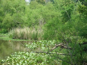
Raleigh Swamp

My favorite place to watch birds

   Raleigh Swamp, which used to be irregular but has been made permanent by the damming effects of Raleigh Boulevard, has a large consistent and varied population of breeding and visiting birds.

************


waterfall-close-up_1_1

My favorite place to listen to water.

   Jaycee park has a rock waterfall that, at two feet, is perhaps the largest inside the beltline.  It certainly is the prettiest of which I know.

***********

Longstreet greenway off Sawmill

My favorite place to photograph.

   This must be it, because this is my favorite photograph so far.  This creek borders the greenway which runs south beside Longstreet off Sawmill in north Raleigh. I’ll keep working on finding, and shooting, one even better.  Ya’ll have a great new year!!  Love, John

December 28, 2007

Raleigh Swamp – Great Nature AT the Beltline

    Raleigh Swamp is the local nickname for this expanse off Raleigh Boulevard. A massive boardwalk with gazebo connects Buckeye Trail with Capital Boulevard.  There are almost always blue herons and/or hawks, dozens of various turtle species, the occasional thirsty deer, and the best chance I know to actually see beavers during the day.  Raleigh Boulevard has become their permanent no-maintenence dam, but their two houses – one on the west bank near the railroad and one right beside the boardwalk – have been badly exposed by the drought.  We will return here often.

Raleigh Swamp Photo Tour

Google map of area linked below:

View Larger Map

Blog at WordPress.com.