
The new House Creek section of Raleigh’s ever-expanding greenways is up and running – the grand opening was September 25th; most of my pictures are from its construction phase. The trail, which follows House Creek and the Beltline from Wade Avenue to Glenwood, is a vital connection between the Walnut Creek and Crabtree Creek watersheds and their respective stretches of greenway. With the inclusion of the pedestrian bridge over 440 and the NC Art Museum Park, it has earned recognition from National Recreation Trails as a unique, multi-partner amenity. It enables many long trip options across Raleigh, as detailed by that inimitable outsider, Joe Miller.
 The new trail begins here, looking down the powercut from the Meredith side of the pedestrian bridge, which we should remember is the longest in North Carolina. This is before construction, when I used to ease down this powercut to see deer.
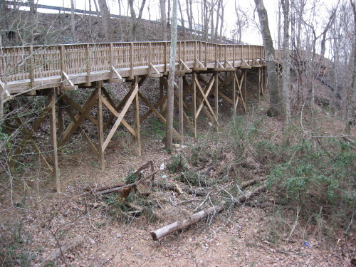
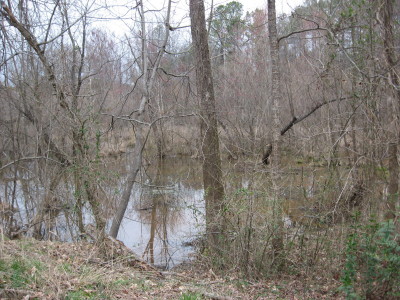
 At Lake Boone, a tributary enters and there is a sturdy concrete bridge installed in this spot, seen below.

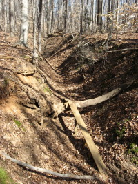
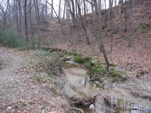
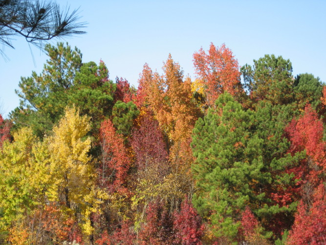
The trail follows a long slope that sides the long and narrow floodplain of House Creek, which begins up near the Vet School and Faculty Club and cuts through the Museum campus before edging 440 all the way around to Crabtree Mall. This is yet another example of how Raleigh’s Beltline was built on the under-used floodplains of the creeks surrounding central Raleigh. House Creek is clean and lovely in this stretch, and is bordered by rich mixed pine and hardwood slopes. There is even an unpaved side trail that explores this slope.


House Creek slope near Beltline
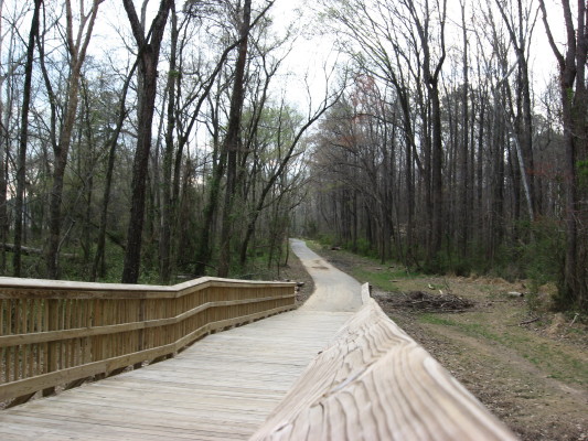
The project crosses the Beltline with a tunnel at Glen Eden and then hits Blue Ridge Road and connect with the Crabtree Trail. the pictures below ( and all others) click to enlarge.


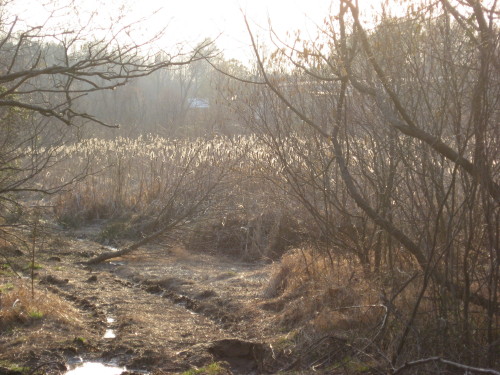
The end near Crabtree is quite level (and swampy). The side trail was an earlier alternate for this reason, I think, but now the trail sports a nice boardwalk over the lowest part as well as some kind of structure I haven’t yet seen finished.


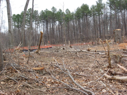
House Creek Trail structure in progress

New House creek greenway seen from Blue Ridge Road

Blue Ridher road connector
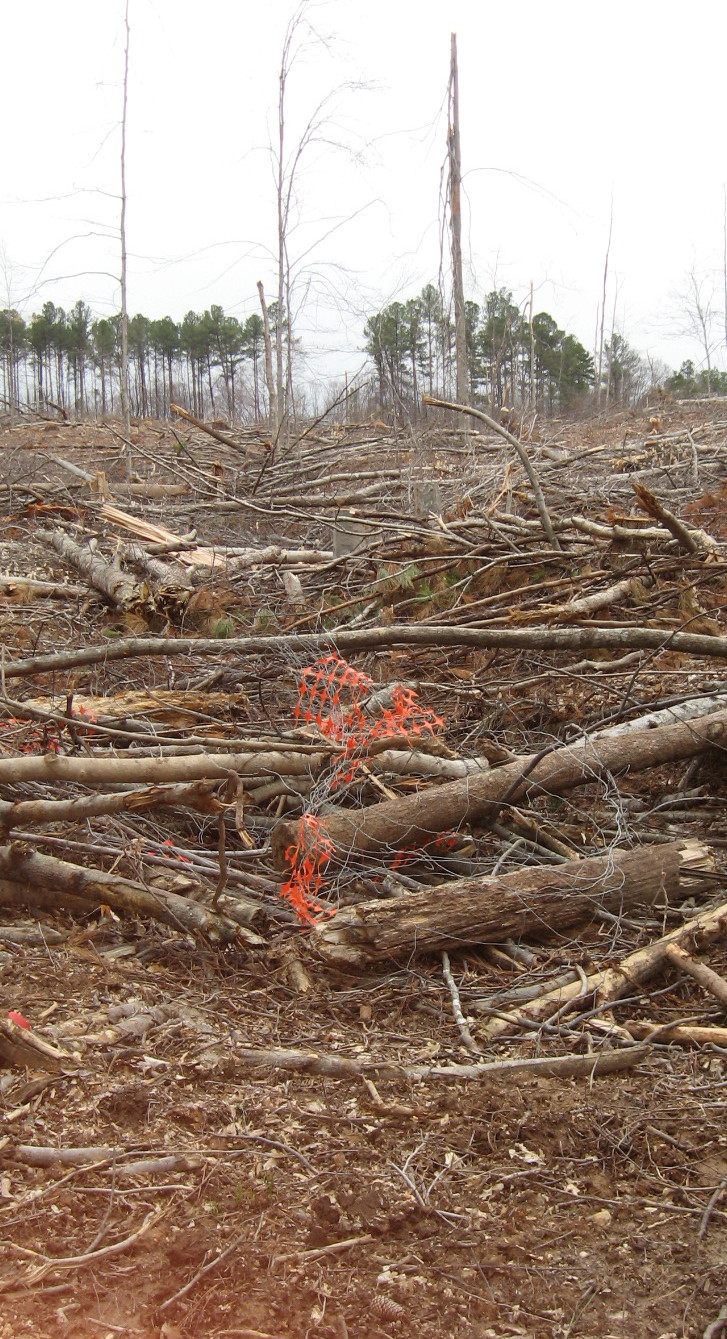
This was a fun project to watch because of some engineering challenges and the heavily wooded setting. I will end with some of that. Happy New Year to the Raleigh greenway system – 78 miles and going strong!

House Creek bank


House Creek Trail construction above Lake Boone


