The Raleigh Naturalist

November 6, 2014

Crabtree Trail to the Neuse River

Crabtree from bridge

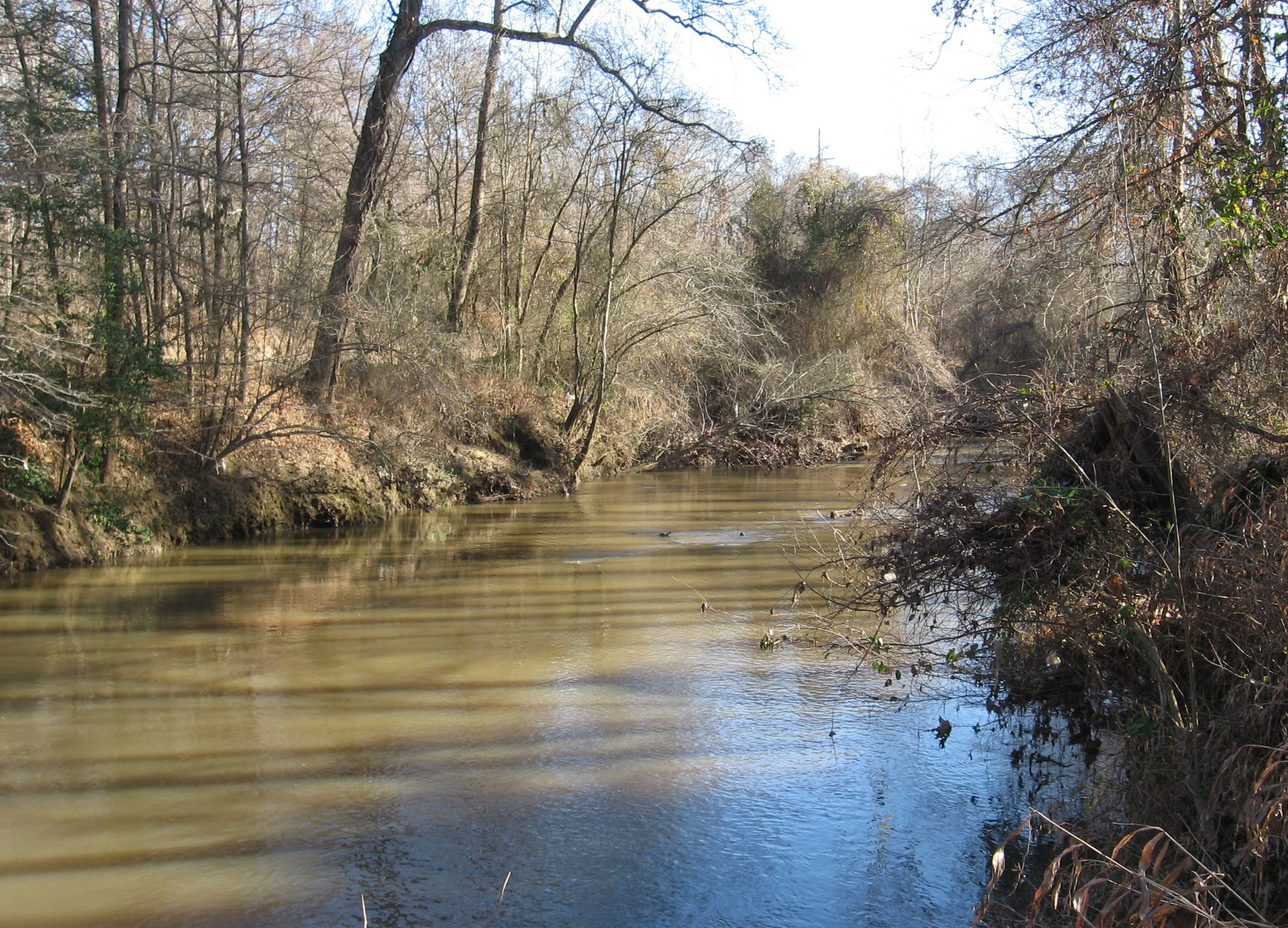
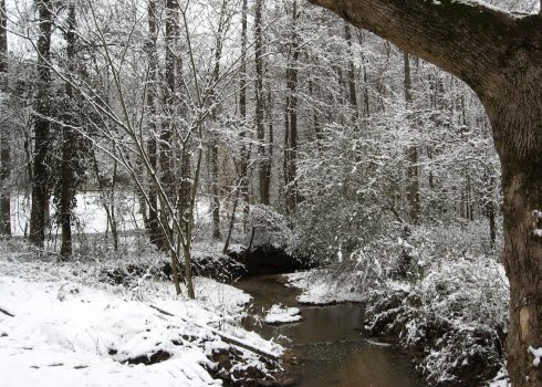
Crabtree Creek from the new greenway bridge near Sunnybrook Road

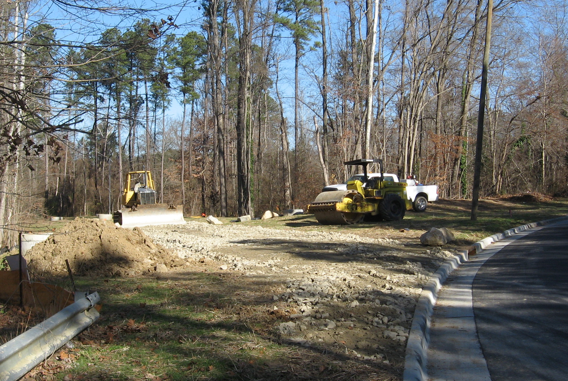
I can now ride my bike from my house downtown to the Neuse River! The final leg of Crabtree Creek Trail, from Milburnie Road down to Anderson Point, is completed. A recent post shows the construction off Milburnie, but this one focuses on the wonderfully bucolic, downright meditative bike ride I had through the large, mostly undeveloped area surrounding Crabtree Creek’s intersection with New Hope Road. Several new bridges are part of this project, and contribute to the beautiful views of Crabtree Creek.

connector on Milburnie

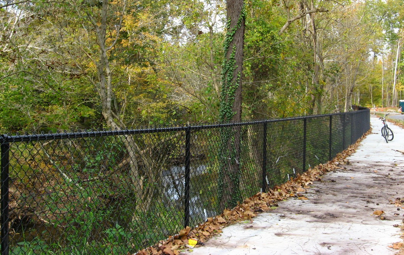
From Oakwood, I rode down Milburnie to the trailhead of Buckeye Trail, the subsection of this trail that represents the oldest existing section of Raleigh greenway. Here a sidewalk connector takes you past the old Swain’s Steakhouse, under New Bern Avenue, and over a small bridge to the edge of the apartment complex off Calumet Drive.

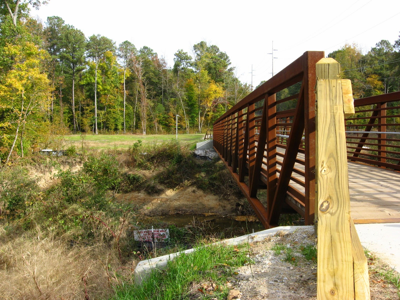
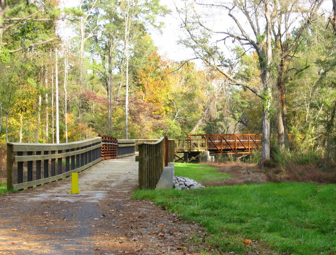
new greenway bridge over Crabtree near Calumet Drive

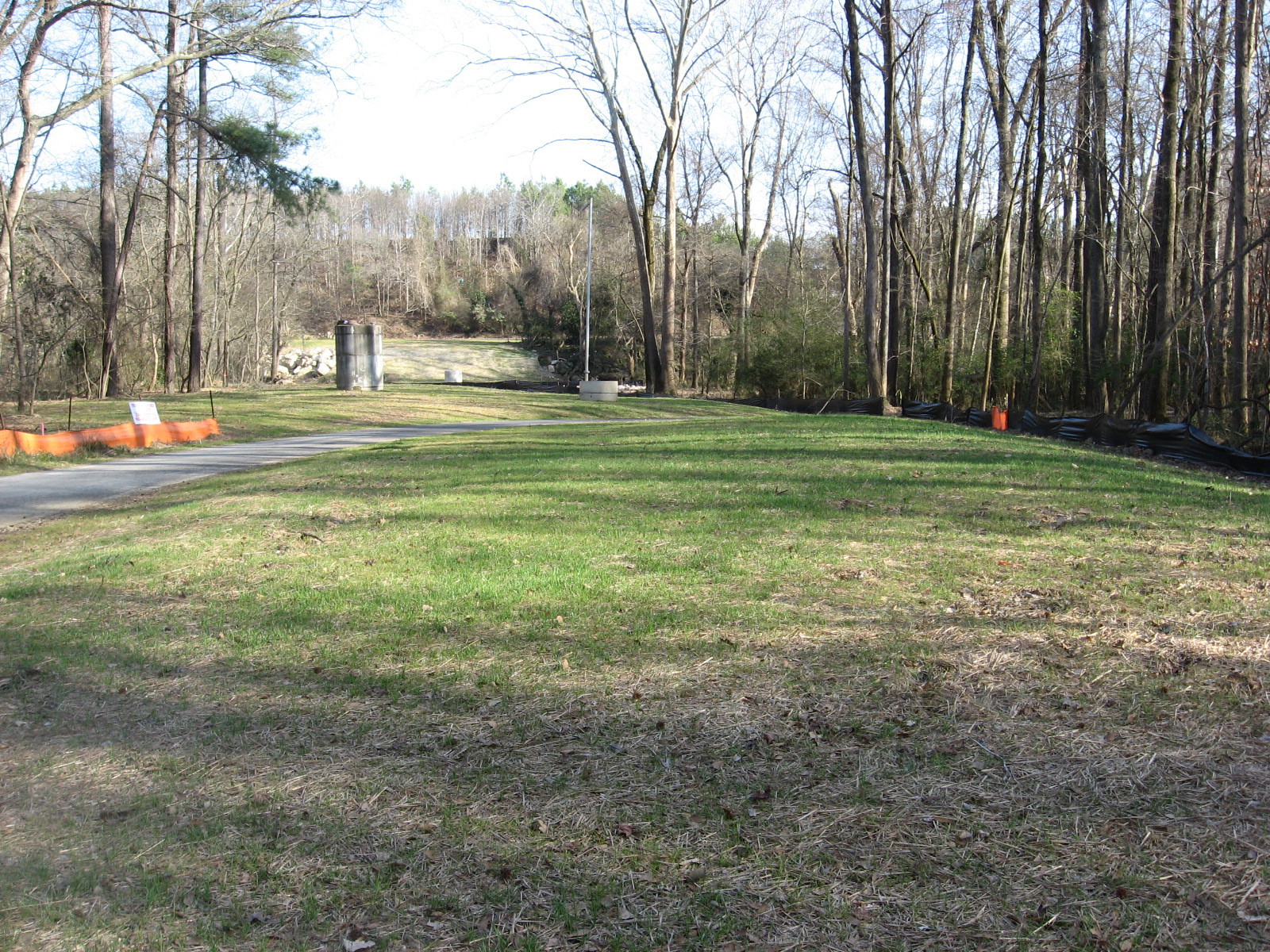
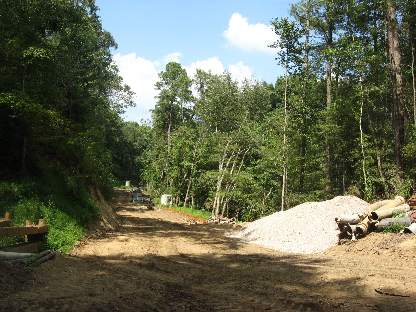
Just past the bridge seen above I found a wonderful detour – a utility road that dives through fields along 440 and goes to the pumping station just below the first ramp for the 64 bypass off 440.

utility road

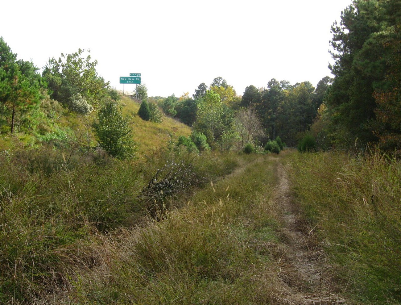
The dirt road was eroded but a marvelous adventure. I reached a “Robert Frost choice” and ducked into the shady woods for a couple of hundred yards before turning back to the paved greenway.

path to choose

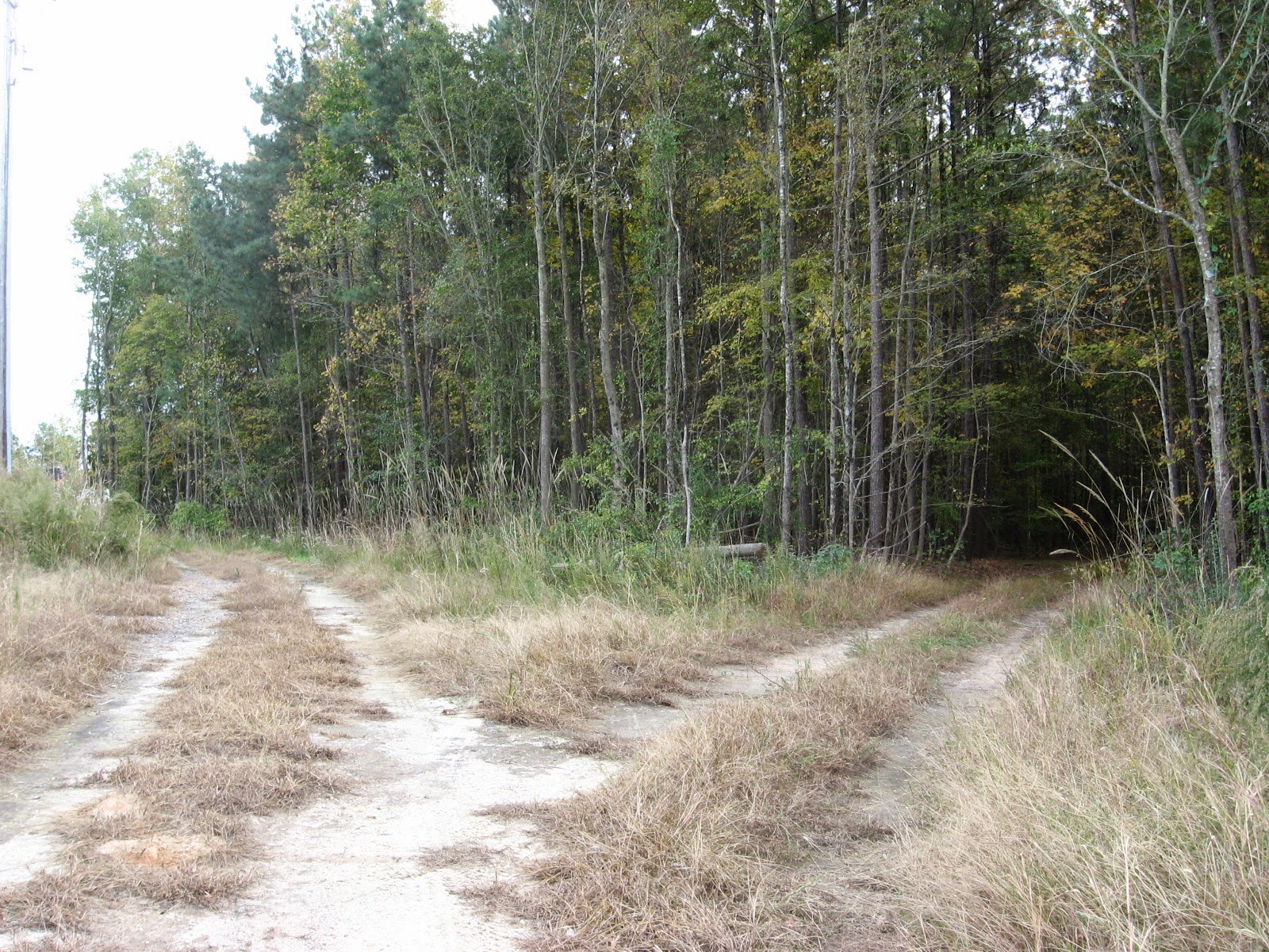
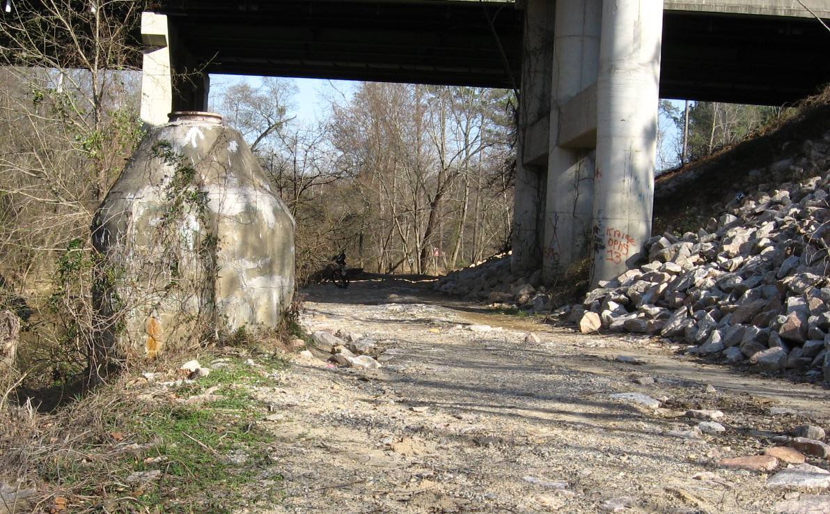
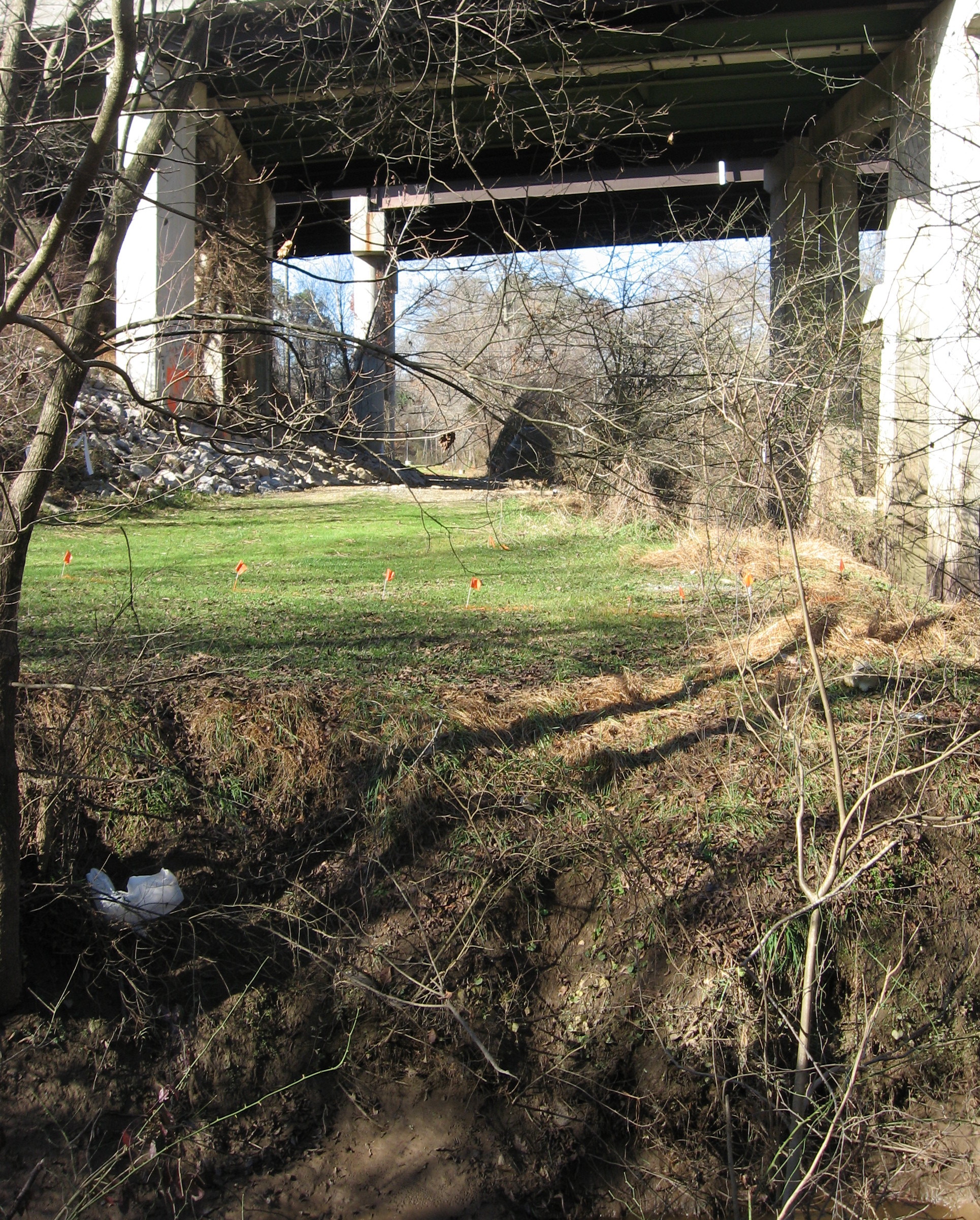
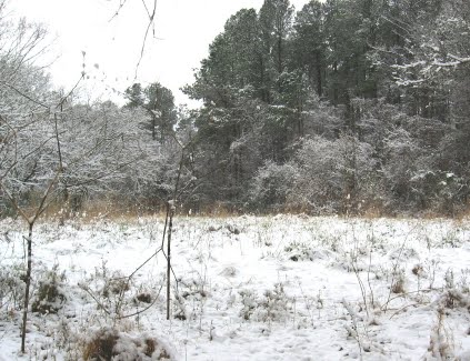
The greenway passes under a maze of highway overpasses, and just off it is a tempting series of railroad beds, more utility roads, and overgrown fields. More tempting detours – but not for today!

highway near trail

 This area, due south of the Wake Animal Control Center and the old landfill, reminded me of old Raleigh, when waste fields and enticing lanes through them were much more common. I’m sure dirt bikers love this spot.

high overpass

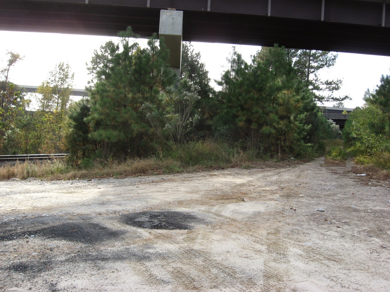
The imposing arc of highway above the greenway here is the height of that ramp for the 64/264 Bypass, and it was both beautiful and sad for me to see. The new greenway passes very close to the spot where the borrowed sports car of some teenagers coming home from a ball game at very high speed, flew off this ramp to their deaths. The tragedy left a charred scar for several years, which I would see on forays from the old pecan farm near Poole Road and Sunnybrook (not Oakview, but the non-public part west of 440). Recalling it on this trip, I was again amazed at just how high this ramp soars.

long bridge

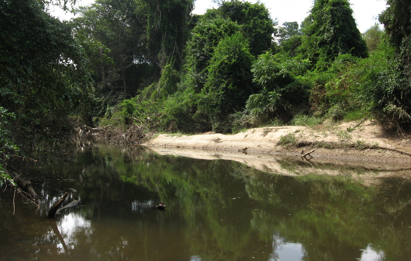
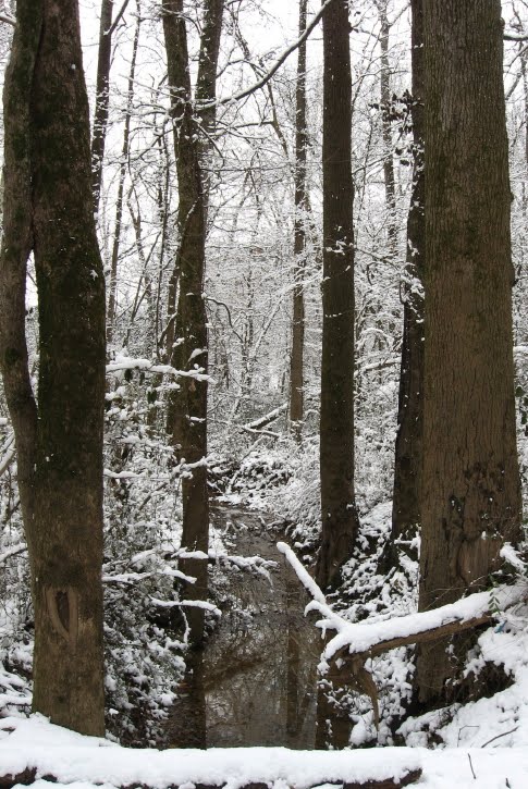
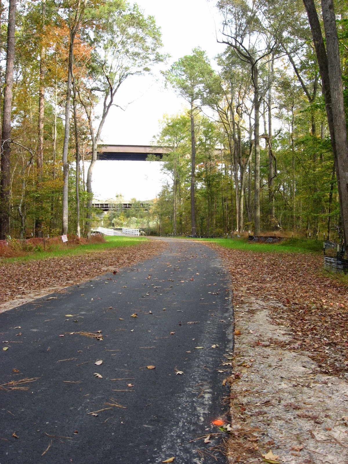
The greenway re-crosses the creek on an extended bridge near a swampy area where the water from Jones Lake and the previously mentioned abandoned farm comes in. There are long stretches with woodland on both sides, and I encountered just enough other bikers not to feel isolated.

rock outcrop

A large granite outcrop marks a sharp turn in the creek just east of New Hope Road. Up stream, the late afternoon light and the fall leaves made for a very nice scene. This would also be a great place to fish.

bend

Crabtree Creek bends as it makes it final approach to the Neuse River

field below New Hope

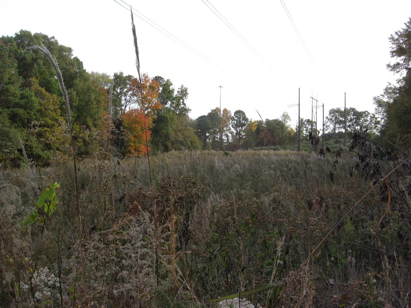
When I got to a large powerline field, I turned for home. The end of this trail, Anderson Point, is a story in itself, and I hope to take Cara biking on this trail soon, starting at the mouth of Crabtree and traveling upstream. I’ll keep you posted. In the meantime, give this wonderful section, with highly varied landscapes and a few surprises, a try soon.

A shallow Crabtree slides over a gtanite bed near New Hope Road

A shallow Crabtree slides over a granite bed near New Hope Road

March 3, 2014

Buckeye Connecting to the Neuse

Filed under: Crabtree Creek, East Raleigh, Greenways & Parks — Tags: , , , — raleighnaturalist @ 8:58 pm

Milburnie greenway entrance

The trail head of Buckeye, the oldest and the beginning of the longest stretch of Raleigh Greenway, is being extended down Crabtree Creek to Anderson Point, the creek’s intersection with the Neuse River. Much progress has been made with grading and a layer of crush-n-run, but a break remains just south of New Bern Avenue, where a freshet ditch needs a bridge or culvert before paving can begin. With an easy hop over that, a hiker or biker can travel from Milburnie down the creek beside Sunnybrook road, toward the pump stations under 440 and the huge off ramp for the 64 Bypass. Here the creek, and eventually the greenway, will travel beside the railroad track through a large undeveloped area as it crossed New Hope Road and heads toward Anderson Point.

Buckeye toward Milburnie

Looking at Milburnie and Longview Creek from Buckeye

The trail head of Buckeye will not connect directly. Here is a view of Longview Creek from Buckeye, where I thought a bridge might be built, but instead there is a short jog down Milburnie Road from the current entrance to the extension, which runs right behind the old Swain’s Steakhouse and then under New Bern Avenue.

New Bern Ave greenway crossing

Past New Bern is the freshet ditch, then a long stretch parallel to Sunnybrook and Wakefield Village.

greenway extension beside Sunnybrook

Crabtree is at full strength as it makes its last swing toward the Neuse.  Across the creek, the railroad cut is terraced into some impressive slopes, and the hardwood bottomland trees along the creek are impressive.

Crabtree past New Bern Ave

This will be an exciting connection and make possible some amazing round trips on bicycle.

future greenway bridge south of New Bern Ave

Now they just need to build this crossing!

September 16, 2013

Excavating East Raleigh

Filed under: East Raleigh, Greenways & Parks, waterways — Tags: , , , , — raleighnaturalist @ 6:17 pm

excavating Longview

The massive sewer work that stretches across east Raleigh is accompanied by a different kind of excavation.  Above is upper Longview Lake from Bertie Drive below Enloe High School.  For years silt from construction on the hill behind it has steadily filled this section.  Now they are dredging the silt out and restoring the pond.  The lower section is larger and much more healthy.  All our our lakes and ponds gradually fill in with plant matter and eroded soil, but this happened too fast and I am glad they are fixing it. Now if they would just re-allow fishing!  More pics below – click to enlarge.

Longview low spotupper Longview Lake

Just down the road from this, where Milburnie hits the extension of Sunnybrook across New Bern, the old beginning of the Raleigh Greenway, Buckeye Trail,  will soon be extended all the way down to Anderson Point, where Crabtree hits the Neuse River.  Very exciting! Right now the spot is part of the huge sewer work alluded to in the first sentence.  The first picture below is looking toward Milburnie and is actually the path of the new extension.  The new greenway should be in place this spring.

future greenway to the Neuse

sewer runs under greenway at rocky overhang

Up the trail toward Raleigh Swamp, a fallen tree has created a dump of sand that makes quite a beach.  All the sand and silt seen in this post is terrible for the mussels and microfauna that inhabit the creek’s bottom.

fallen tree creates sandbank

Bonus pic: deer tracks where  I climbed down to view the sandbank.

deer prints at Crabtree

all posts on Buckeye Trail

August 31, 2012

Buckeye’s Intermittent Closings Remind Us of Its Value

Buckeye Trail, which tracks Crabtree Creek through the largest natural area inside the beltline, runs 3 miles from due east of Raleigh at Milburnie and New Bern to Raleigh Boulevard in Northeast Raleigh. There it meets Raleigh Swamp, the neighborly name for the large shallow body of open water bisected by Raleigh Boulevard just north of Crabtree Boulevard.

But this section will be slightly iffy for the next 12 months as crews work on renovating the sewer lines that also track the creek, usually right next to the greenway. I was startled to see the sign, then realized the closings were going to be based on immediate project need, and that people were utilizing the trail as usual that very morning.  I thoughtfully and slowly biked the entire length, stopping to check on some late summer blooms and the condition of the Rocky Overhang, my sentimental favorite spot from childhood jaunts to Crabtree from Gatewood, my east Raleigh neighborhood.  Raleigh Nature has looked several times at this oldest leg of the Raleigh greenway, but a brief catalog of its wonders seems in order.

First, the old landfill meadow at the Milburnie entrance is apparently not going to get mowed anymore – there are trees of several years age filling up the back third.  The rest is filled with microstegium, stilt grass or bamboo grass: by any name, as nefarious an invasive species as kudzu ever was.  Perhaps the landfill monitoring period is over, perhaps they will bushwack these trees eventually.  Minus the stiltgrass, it was a rich meadow. Two pairs of comparison pictures below (click to enlarge).


Just past this meadow is a large stand of young beeches standing in a floodplain.  As you leave them and approach Crabtree, the sewer line cuts under the greenway on its way to Milburnie Road.  This is where the work is starting.  Necessary work, plus they are protecting the terrain by mulching with what they grind – at least for now. I actually like the new openings and hiking possibilities created by these cuts. Until the poison ivy gets established.

Sewer work at eastern end of Buckeye Trail

I can understand the need for the work.  Above is a section of sewer line inundated by winter floods, seen from the elevated greenway by the pump station at the dead end of Crabtree Boulevard.  This flooding is natural and used to happen with more regularity before the construction of flood controls upstream.

My first nature stop on the bike found me stumped.  I knew I had encountered the triangular, papery fruits and their name, but couldn’t put the two together.  A field guide finally revealed it as American Bladdernut.  Right beside it, pictured below, was a plant I did remember – nettle, whose thin hairy needles inject a stinging but mild toxin that can serve as relief from arthritis, a fact I learned from long-time NC Wildlife photographer Ted Dossett, who used to walk Buckeye almost daily.

Further upstream, the creek takes a big turn, away from Yonkers and toward Milburnie, creating The Point, a triangular beach looking across at the eastern edge of the Marsh Creek marsh.  This broad wetland stretches for about a mile below Yonkers Road and the Beltline. This is a great spot to see the larger birds.  Buckeye is “the birdiest greenway trail” according to the Wake birders’ guide.   As I headed upstream toward Rollingwood, I stopped at a very special place where a big beech uses a rock formation to hang right over the water.  Its roots create undercaves that we used for caching supplies back in grade school – toilet paper, BBs, and matches.  If we left anything long, it would wash away in high water.  The spot beside the beech is pictured below in very low water.

Crabtree on east Buckeye Trail

I continued my ride, briefly surveying the Rocky Overhang, still draped by a large fallen Sycamore that came down across the creek after Floyd in 1999.  Fallen trees are a big part of changes in the creek bed, and the sycamores are notorious for taking up doomed positions on the creek bank.  Sometimes they lean precariously for years, and I will never forget the Buckeye walk when a really large, vine encrusted hickory decided to slowly but powerfully lay itself down into the creek as I walked past.  It was an amazing sound – non-violent but death-dealing forces of gravity and release.

Glimpse of the rocky overhang on Buckeye

Halfway up the trail is the park at the bottom of Rollingwood, where the greenway leaves the creekside and edges the neighborhood. The creek formerly split, creating an “island” which edged the greenway, but that streambed is dry now.  Shrubs and young trees cover the large sandy beach that existed at the head of this island in my childhood.  Unforgettable memories of camping on that beach (even then the water flow was seasonable), drawing a large square in the sand, and boxing with gloves!  It was my first and only experience with that.  The stalwart group of boys with whom I had ingratiated myself screamed and exhorted like we were Lords of the Flies.  We walked the creekside ( no greenway on those days) all the way up to Downtown (Capital) Boulevard to go get milkshakes late that night.  Fun times.

Now the creek goes straight past the former island, and the sand piles up just short of the former split.  Above is Sandy Beach, a favorite spot of my own children (though I never allowed them to camp there).  From here up to Raleigh Boulevard is a straight stretch that is close but not connected to my old gatewood neighborhood at the ends of King Charles and Marlborough.  Those streets took major damage from our April tornado disaster, and the damage shows from and includes the greenway.


This stretch is now VERY sunny and the flowers will make use of that.  A selection is below.  Be sure to visit Buckeye soon!

Jerusalem Artichoke, which has an edible root

December 30, 2010

Best Views, Best Intentions, 2010

Glory in the Morning. all pictures by John Dancy-Jones
 All pictures click to enlarge

It has been a slow year at Raleigh Nature, squeezed by my Meniere’s Syndrome, classroom teaching, other online interests, and gardening.  Here are some nice images from 2010, some with notes on the separate posts I would  liked to have written with them.  Thanks for checking in and we’ll keep plugging.  Have a great one!

snowy trees on White Oak Road, December 2010

 The snowy holidays were great fun and a white Christmas seemed like an enticing treat from the Climate Change Coming. We are still working on raising food year round at the Person Street urban homestead and the chickens have been a spectacular success and my best excuse for not being out in Raleigh nature.

Esperanza, our combless Aracauna, with her friends, out for a stroll

Fall pond at Oak View Park

I am truly grateful for Get To Know a Park, since I would rather concentrate on out of the way places, but there are still plenty of park rows to hoe.  Besides Oak View, there is a small new one on Honeycutt Road, and little gems like Hymettus Woods at Wade and Dixie.  One of my biggest regrets of 2010 is not getting over to the new section of greenway emerging by the beltline on House Creek, where I have been specifically invited by a reader (lo siento 😦 ) 

Fall colors at Oak View

boulders in Cemetery Branch at Brookside Drive

Cemetery Branch

 
Crabtree on east Buckeye Trail

There is always a lot of nature lore to explore, and 2010 was no exception.

woad blue mold after heavy rains

Raleigh Swamp mallard hen

sunlit slider on Middle Crabtree

my TFA science classroom's pet box turtle


Oakwood hawk with a diappointingly invisible captured squirrel

biggest gall yet!

snapper in the Wilmington creek beside Dorian's apartment

There is a lot I would like to cover from my travels outside Raleigh as well. The Maine post went well, but my mountain traveling has been heavy, and there is always just sooo much to tell.

Boulders on 64 in western NC

rock sculpture at UNC-A's Botanical Garden

ballon from rest stop on 40

Bass Harbor, Maine

There are so many things happening with parks and green amenities in Raleigh.  I had hoped to write about the beginnings of the Neuse River trail, which starts at Fall Dam and eventually hits Anderson Point, the river’s intersection with Crabtree.  This wonderful, under-used park has been the source of many a stimulating walk and deserves multiple posts.  Halfway down that trail (where it joins the existing one) is Raleigh Beach and the Milburnie Dam, which is up for possible removal.  Now THIS topic I would have preferred to address at Raleigh Public Record, and I may yet (the project is on a back-burner currently).

Milburnie Dam

raccon midden at Milburnie Dam (hat for scale)

Happy New Year and here’s hoping again for an invasive species page, a record trees map and more straight street pieces in 2011 – and if we’re lucky, Marsh Creek Part II !           Love,  John

February 13, 2010

Snowy Tree Blocks Buckeye Greenway

Downed Tree on Buckeye Trail in East Raleigh Blocks Snowy Greenway

High winds on top of rains toppled quite a few trees in the area, including this pair of medium specimens lying across the Buckeye Trail greenway at the bottom of Suicide Hill, as it was labeled by the cross country runners who used the greenway before its recent upgrade.  Lowered grade, I should say, since the cruelest, steepest stretch was lengthened and terraced to bring this oldest section of greenway into national codes.  Suicide Hill climbs a rugged quartz and sandstone outcrop that forms the Rocky Overhang, one of the seminal pillars of this blog, as it represents my favorite Crabtree hangout.

Raleigh Nature’s  “scoop” on this downed tree is wonderfully fitting as I get back to basics after a bit of hiatus. Enamored of the Ken Burns series, engulfed by teaching responsibilities, and constantly lured by my current intellectual fling, Ray Johnson/Black Mountain/mail art, I have wintered in the blog a bit, but could not resist the lovely, harmless 3 inch fluff that ended on a Saturday morning.  So I took off for my favorite sight-seeing greenway, Buckeye Trail from Milburnie Road. At the edge of Rollingwood, Crabtree has carved out a tall bluff (at least for this part of Raleigh) and under this 40 foot hump the creek has gouged a fishing hole complete with overhanging boulder shelves from which to cast.  Drowning worms  and hauling up the occasional catfish or bream at the Rocky Overhang is a family tradition for me as child and parent.  Heck, I took dates there, I loved the place so much. I was slightly horrified the day soon after Hurricane Floyd came through to see that a very large sycamore tree across the creek had fallen directly onto the Rocky Overhang, and for several years it was too tangled to get down there.  The kids and I mourned but also learned some valuable lessons about how Crabtree changes over time.  Now that tree has finally eased its way mostly into the fishing hole (after forming a hideous litter trap for more than a year on the way in) and the boulders have cleared somewhat.  In the spring, we’ll take a look, but for now here are more snowy scenes from Buckeye Trail, a gall tale, and a link to the photo album from my snow walk.


The baby beeches we have admired before looked nice mixed into the snowy pines.  Below is the scene at the beginning of Buckeye, where Longview Branch parallels Milburnie as it slides into Crabtree.


Below is a  ditched brook that brings water from the slopes of Rollingwood under the greenway and into Longview Branch just before it reaches the creek.

Just off  Milburnie is the old landfill that now forms a rich meadow, a favorite browsing place of the numerous deer living in Crabtree’s floodplains in East Raleigh. 

Below are some deer and coon tracks in the February snow.

The stump of a large oak I miss very much looked just as sad in the beautiful snow.  This tree had the largest gall I ever saw – a triple-grapefruit sized lump that housed the larvae of box elder beetles.  Greenway maintenence brought it down – I doubt the gall was a factor, but I’ve wondered.

the oak gall

Photo Album of my snow walk


Older Posts »

Create a free website or blog at WordPress.com.