
Downed Tree on Buckeye Trail in East Raleigh Blocks Snowy Greenway
High winds on top of rains toppled quite a few trees in the area, including this pair of medium specimens lying across the Buckeye Trail greenway at the bottom of Suicide Hill, as it was labeled by the cross country runners who used the greenway before its recent upgrade. Lowered grade, I should say, since the cruelest, steepest stretch was lengthened and terraced to bring this oldest section of greenway into national codes. Suicide Hill climbs a rugged quartz and sandstone outcrop that forms the Rocky Overhang, one of the seminal pillars of this blog, as it represents my favorite Crabtree hangout.
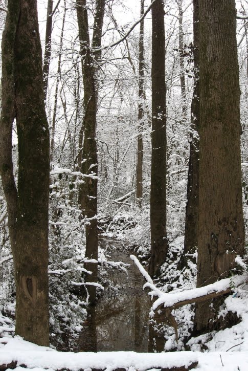
Raleigh Nature’s “scoop” on this downed tree is wonderfully fitting as I get back to basics after a bit of hiatus. Enamored of the Ken Burns series, engulfed by teaching responsibilities, and constantly lured by my current intellectual fling, Ray Johnson/Black Mountain/mail art, I have wintered in the blog a bit, but could not resist the lovely, harmless 3 inch fluff that ended on a Saturday morning. So I took off for my favorite sight-seeing greenway, Buckeye Trail from Milburnie Road. At the edge of Rollingwood, Crabtree has carved out a tall bluff (at least for this part of Raleigh) and under this 40 foot hump the creek has gouged a fishing hole complete with overhanging boulder shelves from which to cast. Drowning worms and hauling up the occasional catfish or bream at the Rocky Overhang is a family tradition for me as child and parent. Heck, I took dates there, I loved the place so much. I was slightly horrified the day soon after Hurricane Floyd came through to see that a very large sycamore tree across the creek had fallen directly onto the Rocky Overhang, and for several years it was too tangled to get down there. The kids and I mourned but also learned some valuable lessons about how Crabtree changes over time. Now that tree has finally eased its way mostly into the fishing hole (after forming a hideous litter trap for more than a year on the way in) and the boulders have cleared somewhat. In the spring, we’ll take a look, but for now here are more snowy scenes from Buckeye Trail, a gall tale, and a link to the photo album from my snow walk.
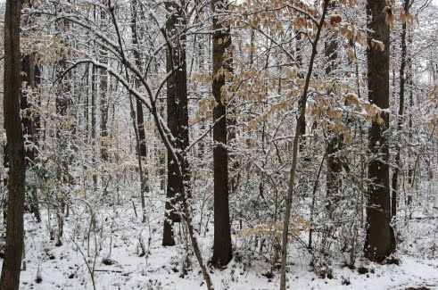
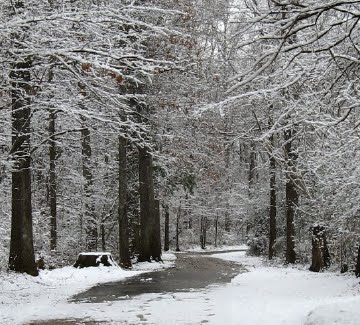
The baby beeches we have admired before looked nice mixed into the snowy pines. Below is the scene at the beginning of Buckeye, where Longview Branch parallels Milburnie as it slides into Crabtree.
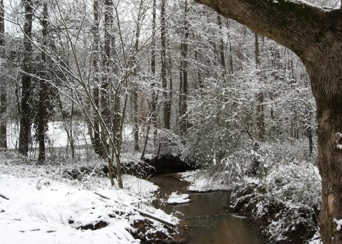
Below is a ditched brook that brings water from the slopes of Rollingwood under the greenway and into Longview Branch just before it reaches the creek.
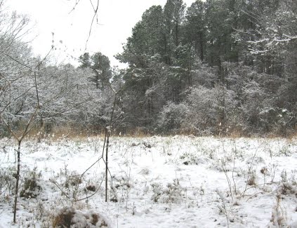
Just off Milburnie is the old landfill that now forms a rich meadow, a favorite browsing place of the numerous deer living in Crabtree’s floodplains in East Raleigh.
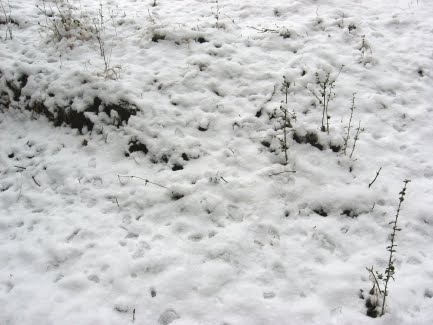
Below are some deer and coon tracks in the February snow.
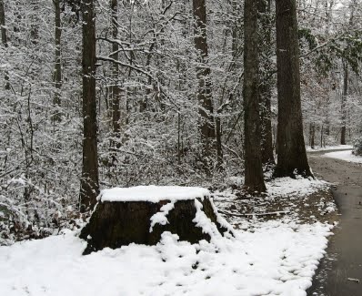
The stump of a large oak I miss very much looked just as sad in the beautiful snow. This tree had the largest gall I ever saw – a triple-grapefruit sized lump that housed the larvae of box elder beetles. Greenway maintenence brought it down – I doubt the gall was a factor, but I’ve wondered.

the oak gall


