The Raleigh Naturalist

May 24, 2019

Schenck Forest Preserves Forestry Lore and Practice

Filed under: Greenways & Parks, West Raleigh, Western NC — Tags: — raleighnaturalist @ 6:06 pm

Schenck Forest held a special place in my family back when the kids were the right ages to run with the dogs down in the creek bottom. Yes I admit we used to give them free run once we were down there. Those days are long gone – I understand the strict reinforcement of the rules, and I surely cannot say I never saw dog problems there. The place remains a beautiful place to visit, but it also represents an important marker of forestry practices, and is named for the pioneering sustainable forester who made his name at the Biltmore Estate.

Carl Alwin Schenck

Dr. Schenck was hired by George Vanderbilt to design and manage Biltmore’s forestry operations after the “partial”departure of Gifford Pinchot. He founded a forestry school that greatly influenced the American industry and his work on the future Pisgah National Forest set a grand example of forestry practice at its best. NCSU’s 300 acre teaching forest enables today’s students to learn about and put into effect the principles of selective logging to enhance long-term value, protection of diversity in the forest habitat, and nurturing of future resources.

View from Edwards Mill Road intersection

photo courtesy of twbuckner

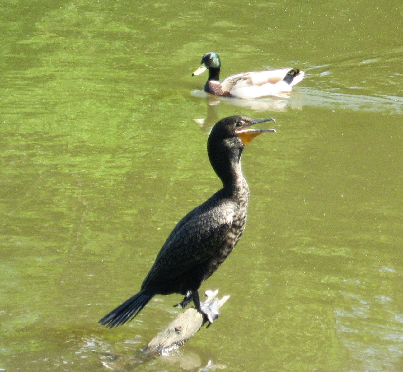
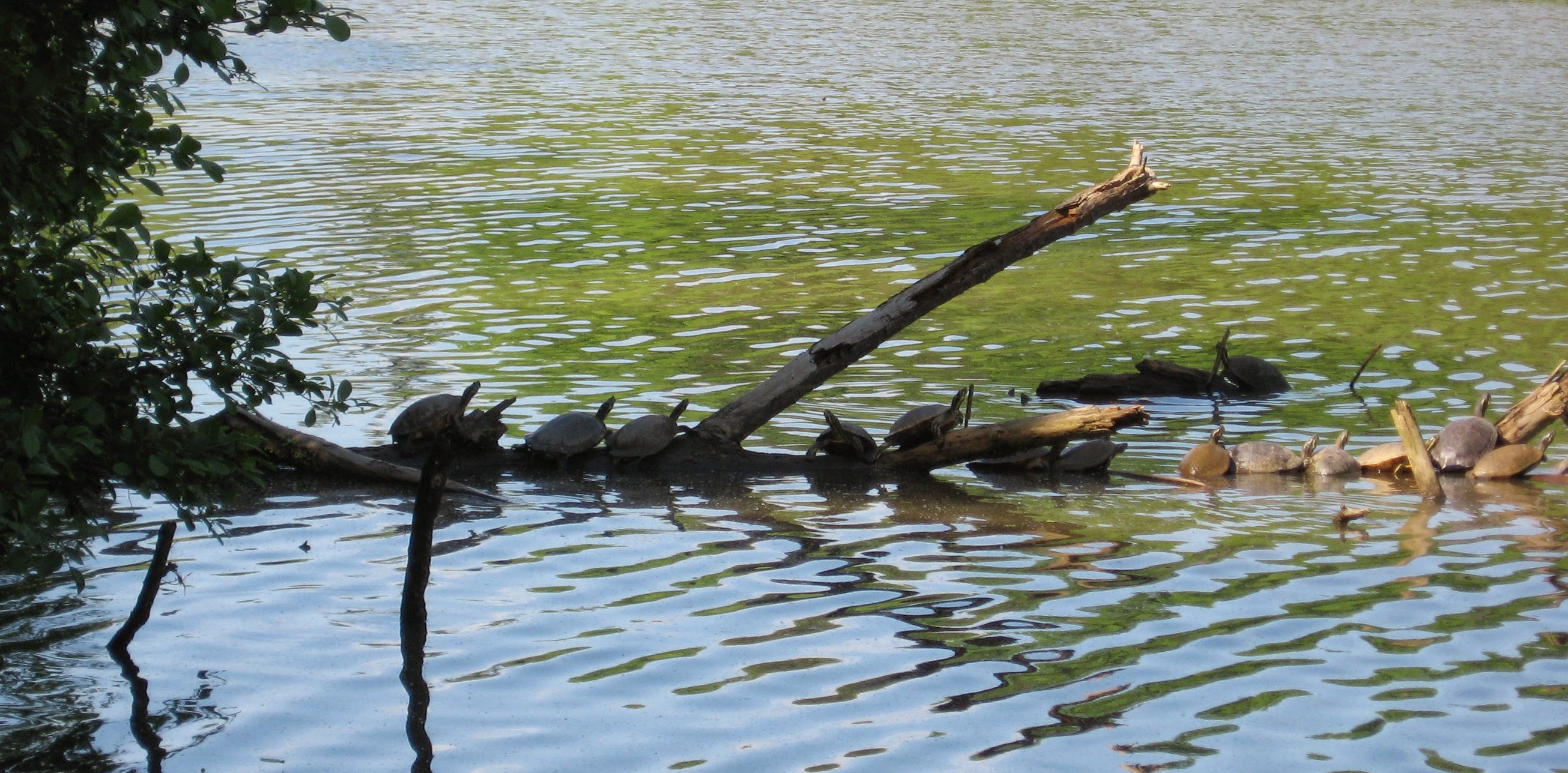
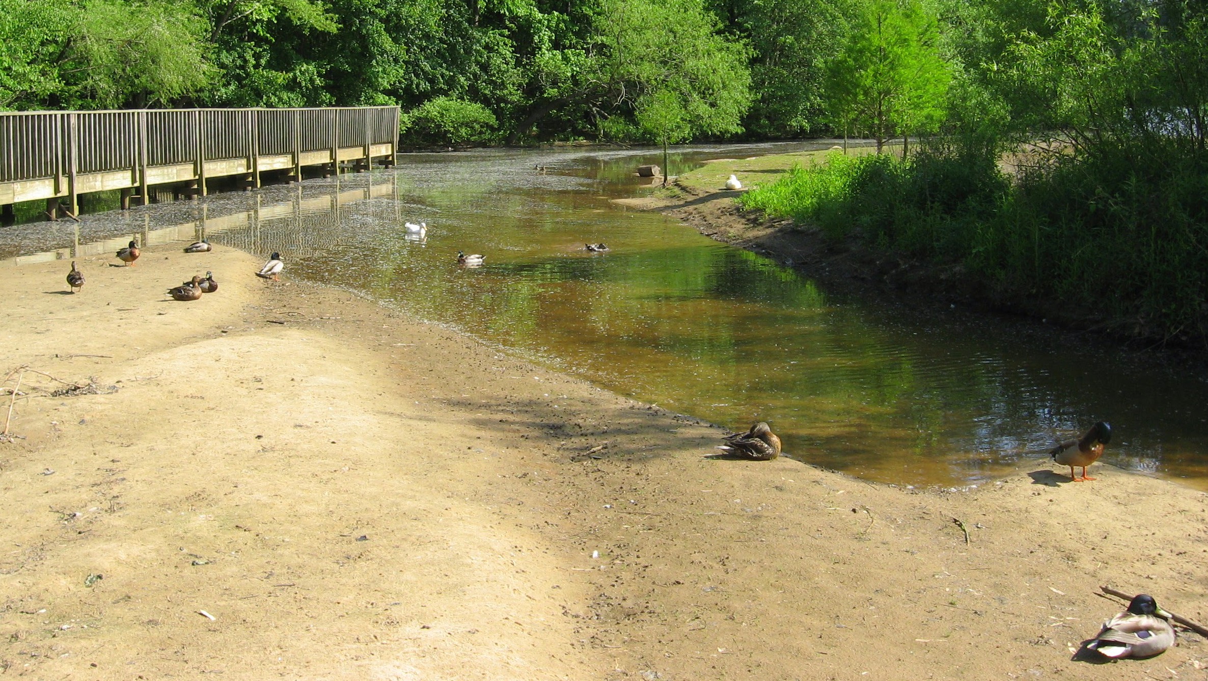
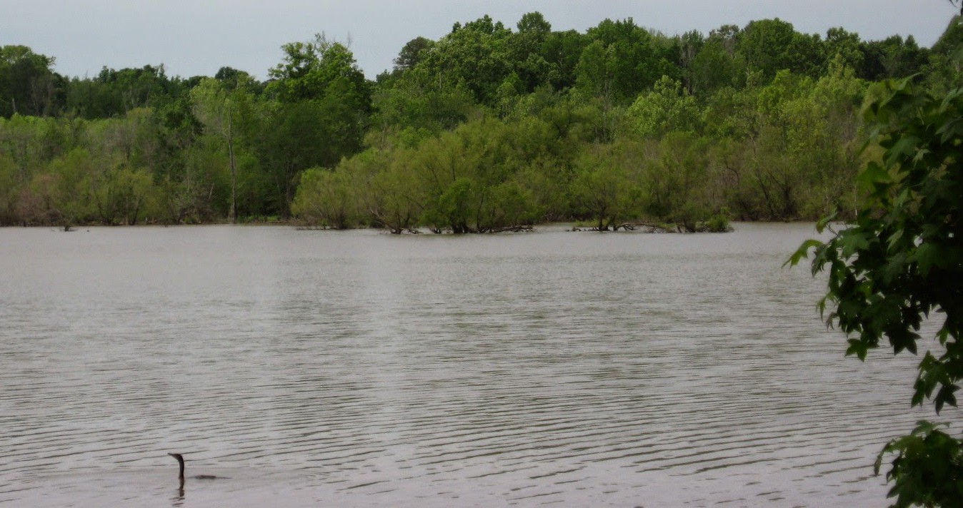
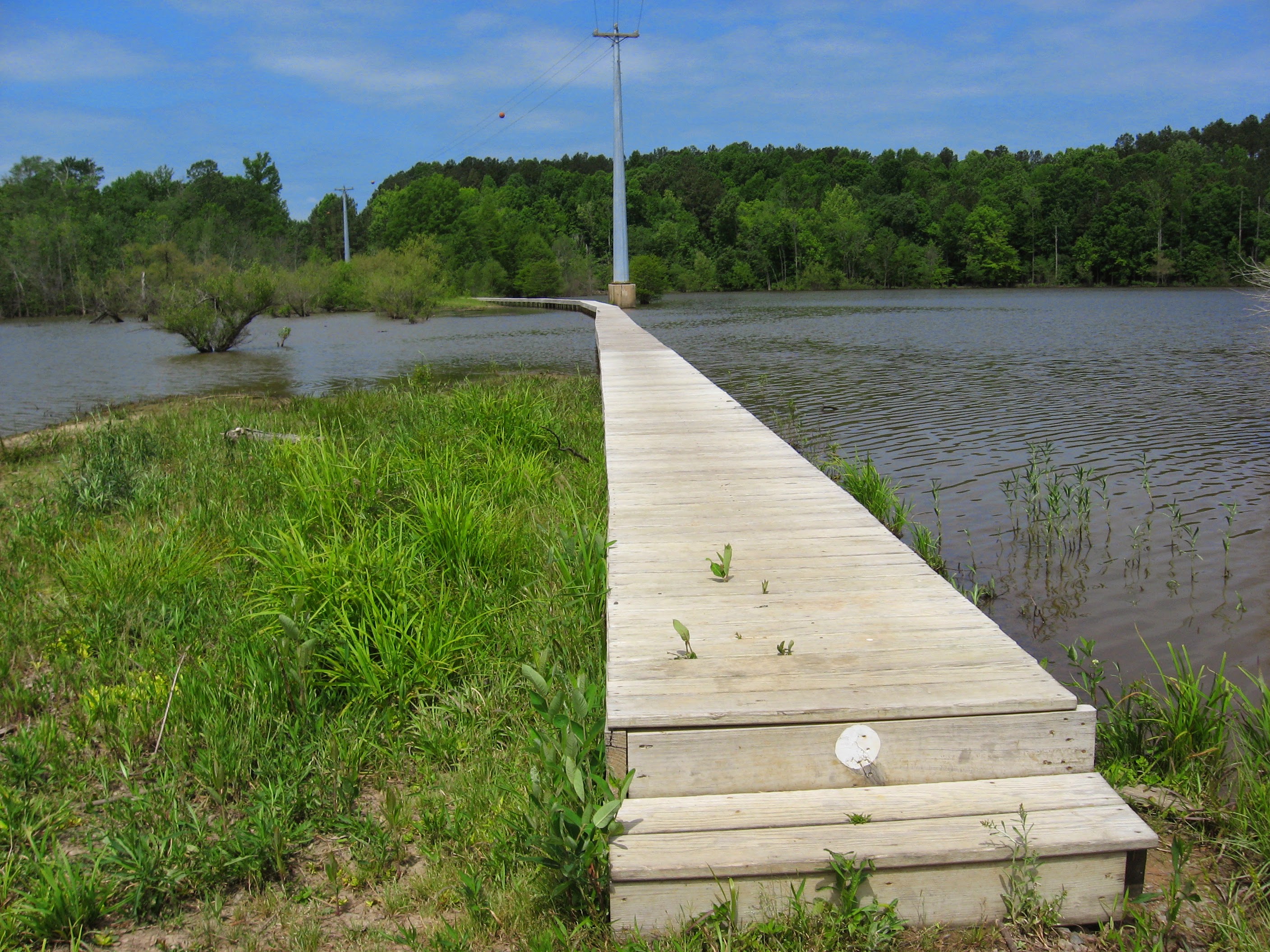
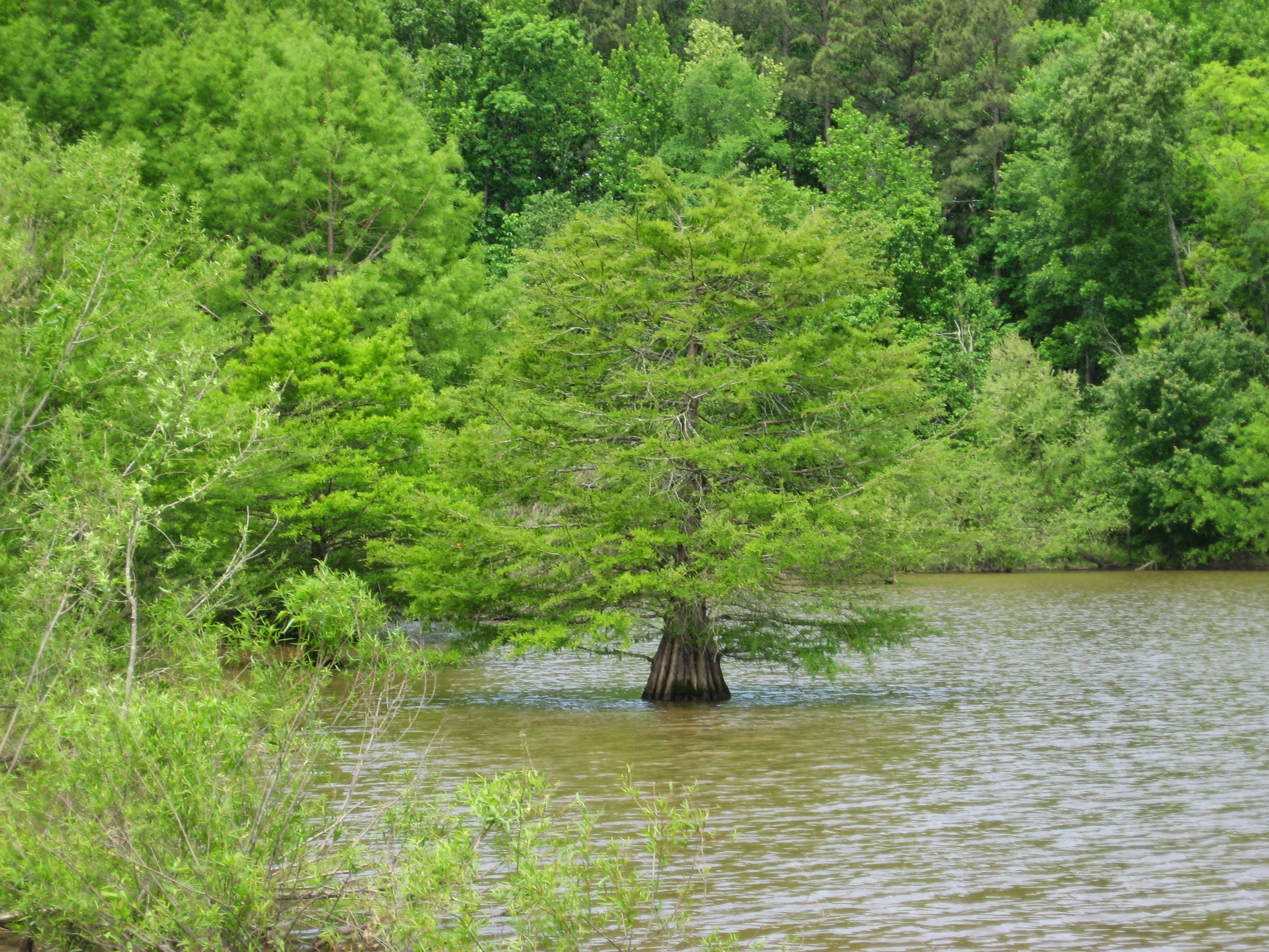
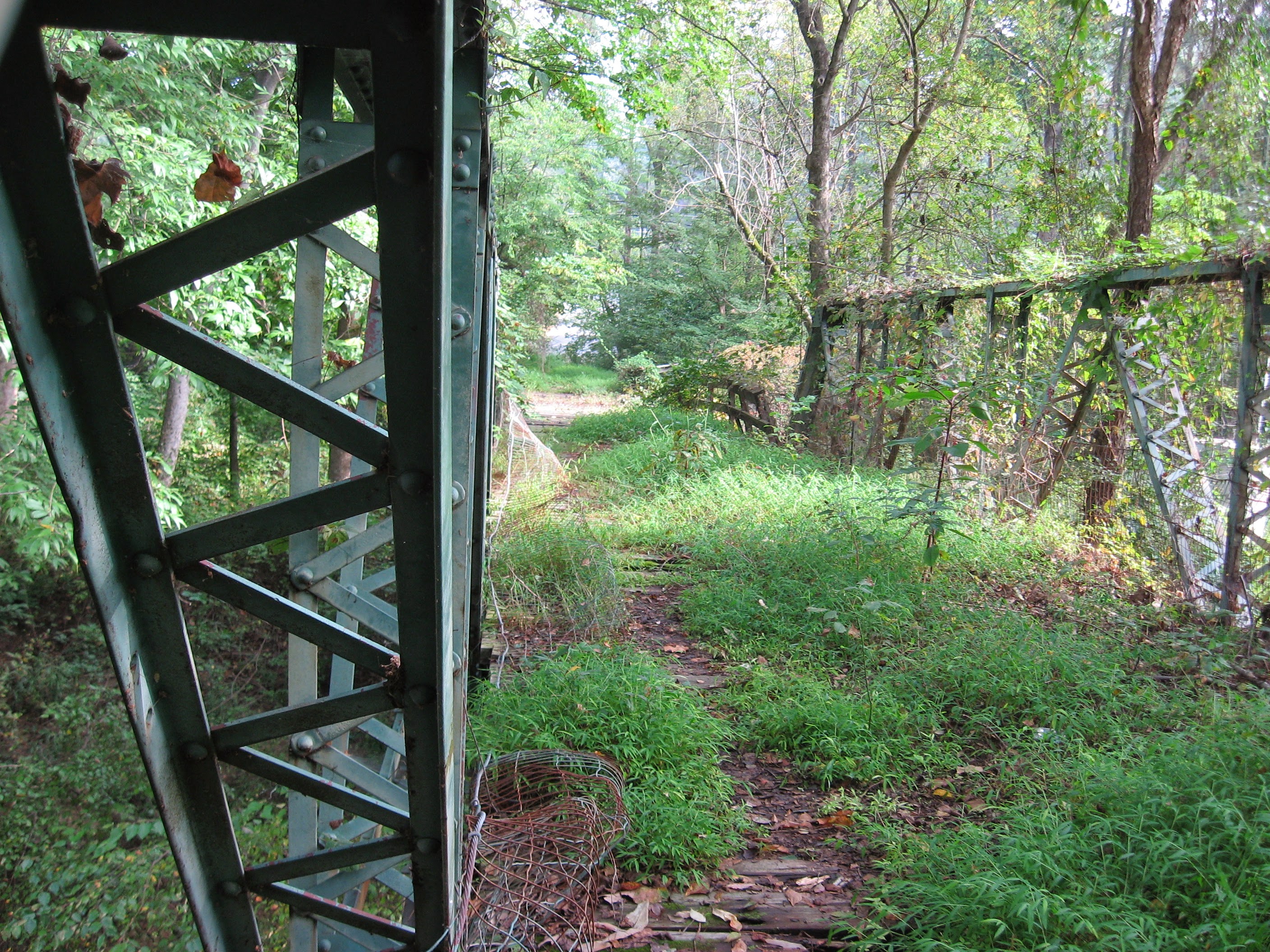
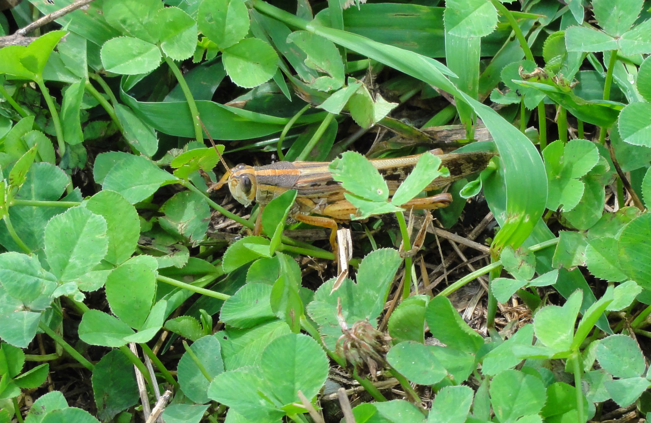
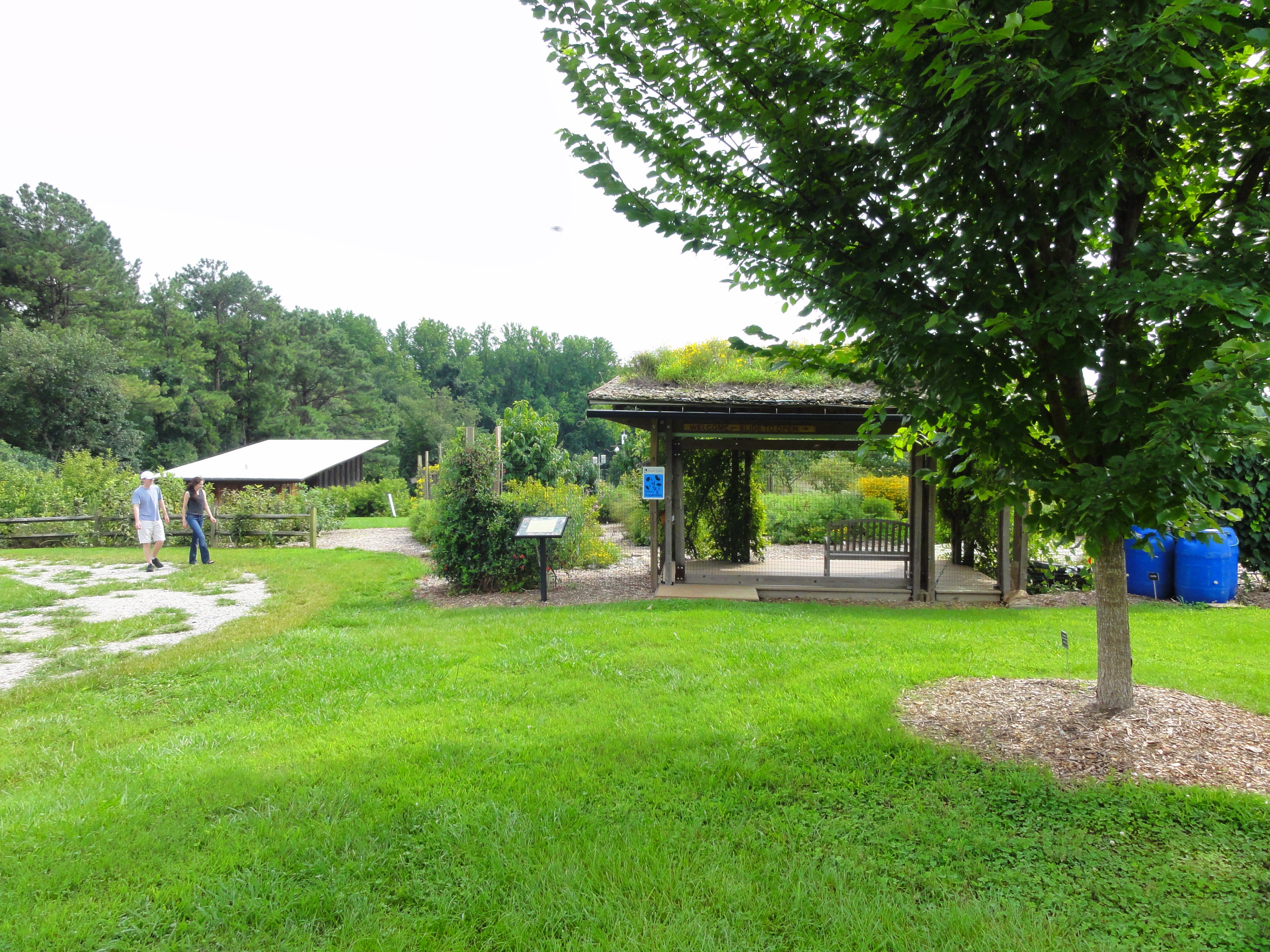
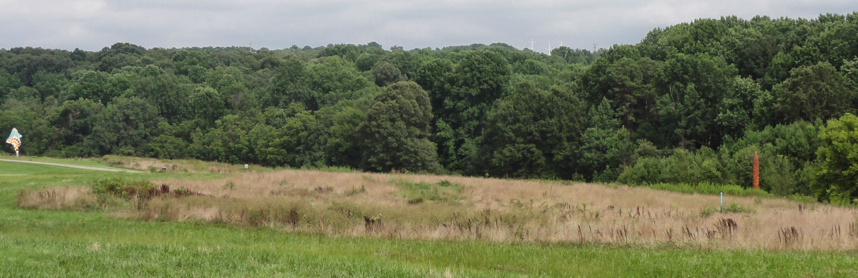
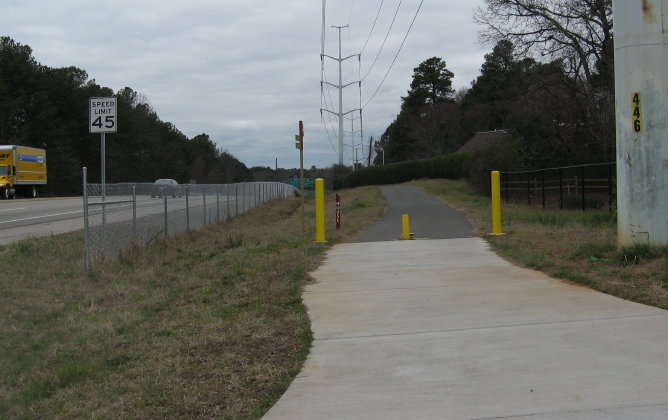
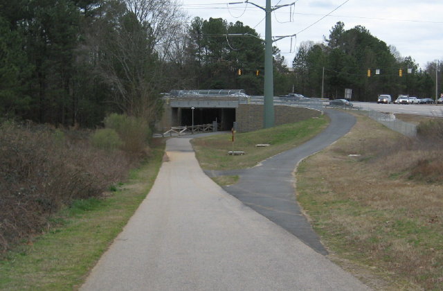
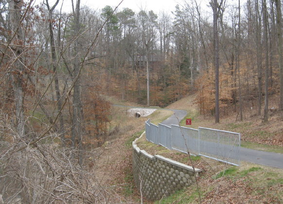
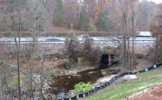
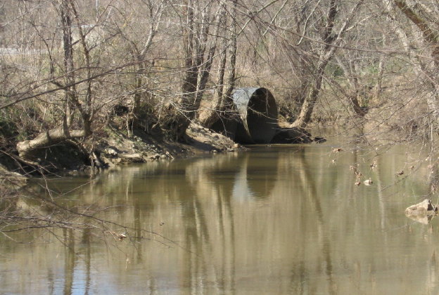
Above, Schenck Forest is to the left of the Reedy Creek Trail, which runs from the NC Museum of Art to the southern entrance of Umstead State Park. The forest ranges down to Richland Creek. There are several loop trails. As seen below, the area has ever-changing stands of trees – mostly loblolly pine -at all stages of development.

The strict leash rules were implemented in 2005. Enforcement via horseback, bike, and undercover on foot takes place afternoons and weekends. Richland Creek makes some big sandy swimming holes as it traverses the bottomland, and the temptation is high. Violators may be banned from the park for a year. The popularity of Schenck Forest remains very high. Biltmore’s huge acreage became a national forest and Carl Schenck is well memorialized by this wonderful Raleigh amenity.

The Natural History of Raleigh

click above to buy the book based on this blog

May 20, 2015

Raleigh Nature Starts a Shift Westward With Lake Lynn Residency

Filed under: About & reflection, Nature Lore, Rural Raleigh, waterways, West Raleigh — Tags: , , , , , — raleighnaturalist @ 7:25 pm
A red-throated loon shows his Springtime stuff at Lake Lynn  in northwest Raleigh

A cormorant shows his Springtime stuff at Lake Lynn in northwest Raleigh

Blog News June 2015
This blog always centered on a book project: The Natural History of Raleigh, which now exists as a finished manuscript of 25,000 words I am working to get published. Having retired from over twenty years as a special educator, my wife Cara and I are selling our Oakwood home and moving to Asheville, setting up book arts studios as well as a big garden and small greenhouse to grow food, papermaking fibers, and flowers. For Cara’s final year of teaching, we are renting a small apartment that overlooks Lake Lynn. The blog will eventually take on a state-wide perspective, but will always focus on urban natural areas and have plenty of posts about Raleigh. For now, enjoy the Lake Lynn and Falls Lake areas I will pop into when in Raleigh, while I explore and document what to show you up in Baird Cove.  Best,  John
Sliders at Lake Lynn

Many kinds of wildlife inhabit Lake Lynn, but (for enthusiasts) it has a citywide reputation for its turtles.

Lake Lynn, along with Shelley Lake, was created to provide flood protection to Crabtree Valley Mall, which was constructed in a former muddy cow pasture and flooded soon after it was built. Hare Snipe Creek, which feeds Lake Lynn, runs from the back of Tabernacle Church on Leesville nearly due south all the way to Crabtree by the Golden Corral headquarters on Glenwood Avenue. Lake Lynn has a gigantic earthen dam but is normally quite shallow, and its edges are dissected by the numerous small creeks and freshets that formerly found their way to Hare Snipe Creek. A popular greenway with long boardwalks encircles the Lake, and a spur follows the soggy wetlands of its headwaters up to a public park. At uncrowded times (and I’m talking people driving and parking at my apartment complex just to walk here) it’s an opportunity for some remarkable encounters with nature.

ducks

Some of the more interesting  birds to watch are naturalized escapees – dark, red-wattled Muscovy ducks and aggressive white barnyard geese. Lake Lynn itself is a mixture of native and natural features blended with the man-made lake and the surrounding (relatively wooded) apartments and houses. The Canada geese, well described in an earlier post, are so numerous and boisterous as to evoke aquatic chickens as they honk out the rising day outside our windows each morning.

 An Enticing Nearby Area

Cypress trees on the southwestern shore of Falls Lake

Cypress trees on the southwestern shore of Falls Lake

Just a few miles north of Lake Lynn I can cross over the highest spot in Wake County – Crestmont off Leesville Road – and travel out of Crabtree Creek’s watershed into that of the Neuse, inundated by Falls Lake. North of 98, off Baptist Road, is an access point for the Mountain-to-Sea Trail, which traces the southern shore of Fall Lake. Here a juncture of powerline cuts and shallow lobes of the lake provide wide open views and a nifty look at a population of cypress. There is a stunning serpentine boardwalk that serves the trail, and a raised bridge over Lick Creek with gorgeous views. More to come, as well as more on the whole stretch from here to the Rollingview Marina.

Lick Creek footbridge

cypress in Falls Lake

October 29, 2014

Mystery Bridge in Crabtree Valley

Filed under: Crabtree Creek, Gems & Surprises, Greenways & Parks, West Raleigh — Tags: , — raleighnaturalist @ 2:50 pm
stop sign at bridge

abandoned bridge over Crabtree Creek just off Glenwood Avenue

Crabtree Creek Trail is 14.6 miles of greenway through the heart of Raleigh, starting at Anderson Point off New Bern Avenue east of town and following the creek all the way to Oak Park in northwest Raleigh. It was until recently the longest continuous stretch of Raleigh greenway, and now has been eclipsed by the Neuse River Walk and Walnut Creek Trail, both newly completed, relatively rural connectors. Of all the wonderful features on this complex trail, the abandoned bridge just upstream of Kidd Brewer’s old cow meadow (now Raleigh’s most floodable mall) wins the honors for mystery and quirkiness.

Crabtree creek from bridge

When and how was this bridge used? I will be crowdsourcing on Facebook, and don’t hesitate to comment here if you know anything. This stretch of greenway picks up across Edwards Mill Road from Crabtree Valley Mall, and meanders through old neighborhoods as well as a sprinkling of new condo developments before dead-ending into Lindsay Road in Oak Park.

abandpned bridge

I do NOT recommend walking on this bridge! It is very rotten. You wouldn’t fall in, but stepping through would be no fun. I stuck to the crossbeams, but was still anxious. Lovely view, though. Any thoughts?

Update

The Facebook post for this piece has produced wonderful information: Foy Beal states that the bridge was installed by the Martin family, namesakes of Martin MIddle School, when they owned property on both sides of the creek. Richard Butner has this info: “Used to go to the Leroy B. and Charlotte M. Martin House, designed by Brian Shawcroft.” Chip Robie has a fun story about using this “driveway” as a shortcut to Edward Mills Road. Others have interesting memories as well, and I am sure more to come.  Thanks!

August 7, 2014

Piedmont Prairies in Raleigh

Filed under: Gems & Surprises, green initiatives, Nature Lore, West Raleigh — Tags: , — raleighnaturalist @ 3:17 pm

Museum Field (1)

Fire, hurricanes, and Native American land management all created prairies, or tall grass meadows, across the area in prehistoric times. Almost no original prairies still exist, but Raleigh boasts two right down the road from each other off Blue Ridge Road. The best place to experience and learn about prairies is Prairie Ridge Ecostation, managed by The Museum of Natural Sciences on Reedy Creek Road. Below is the entrance map for this rich and complex facility, which covers 45 acres.

Prairie Ridge sign

 The top right shows the entrance and parking area, right next to the National Guard Armory. There are forest and prairie trails and at the bottom is a tributary of Reedy Creek, heading west to cross under Edwards Mill Road.  A large solar panel array provides power for a Frank Harmon-designed outdoor classroom built with green features. A residential center is in the works. There is a new Nature Play Space for young children with learning stations, a prairie maze, and logs and boulders for climbing.

Prairie Ridge

Trail heads at Prairie Ridge Ecostation

The highly diverse profusion of grasses, herbs and accompanying hordes of insects are riven with well-mowed paths to allow easy access. On each side, this mid-summer stroll revealed masses of seed heads, arching, competing green blades, and the occasional intrusion of pokeweed. Numerous butterflies, hunting spiders and other bugs roam the vegetation.

Prairie Trail

Zooming insects planed down onto the mowed surface every few seconds. Here is a grasshopper taking a short rest.

Prairie Ridge grasshopper

You can see clover enjoys the clear-cutting of the mower.

Prairie Ridge garden

Prairie Ridge flower garden on right, classroom building down slope on left. Note the black-eyed Susans on the roof of the garden shelter.

Fun fact: the Wet Lab, seen below, contains jarred biological specimens contained in over a hunded thousand gallons of alcohol. This huge collection, constantly growing as smaller facilities pass on their own holdings, was originally planned for downtown as part of the new science museum – but legislators decided that such a volatile stash needed a more remote location than across the street from them!

Wet Lab

Just a few hundred yards down the road is the campus of the NC Museum of Art, which maintains slopes of prairie meadows along with wooded trails and large lawns with outdoor sculptures. These prairie spaces are usually maintain by controlled burns, which reduce invading tree species and provide readily used nutrients. Mowing every two or three years works nearly as well.

Museum Field (1)

Museum slope

A slice of Piedmont prairie is no farther away then the nearest power line cut, where tall grasses are allowed to mature and flower but mowing is conducted every few years. To see something close to the original, visit the Horton Grove Preserve, managed by the Triangle Land Conservancy, which is part of the historical Stagville Plantation north of Durham. Another remnant of Piedmont praire is at Temple Flat Rock in Wake County, also managed by the TLC.

Here is the book based on this blog

The Natural History of Raleigh

March 5, 2013

Paving a Little Paradise: Marshall Additions Highlight and Loom Over House Creek Greenway

Filed under: Greenways & Parks, waterways, West Raleigh — Tags: , , — raleighnaturalist @ 4:31 pm

Marshall Park sign_1_1

The sign announces a new park along the recently opened House Creek Greenway.  But dominating the scene is a new housing development, which turns out to belong to land sold to developers by the same Rick Marshall that provided Marshall Memorial Park – a set of amenities arranged along the lower part of the new trail.   The plantings and side trails are nice, but are dwarfed by the impact of these huge retaining walls and future buildings right in the riparian buffer that protects the creek.  An excellent article in the Midtown Raleigh News spells out the tit for tat – planning approval in exchange for a greenway easement to get the trail through this steep, heavily wooded section. (In his comment on this post, Mr. Marshall states that the land and improvements were offered unconditionally.  I got my stated impression not only from the article but from a conversation with Vic Lebsock, head of greenways, about the project – my apologies to Mr. Marshall).

Marshall apartment project_1_1Marshall retaining wall_1_1

These walls are REALLY big!  It’s a rough loss of permeability for this sponge of a slope that slows Blue Ridge water as it makes its way down.  House Creek already has orange algae blooms in the meadow where it meets Crabtree.  The greenway section will still be lovely, once the construction ends, and they have already installed rip-rap troughs to handle the increased flow into the creek.  Below is a look at the Marshall Memorial Park proper, and a tour of the new trail.

Marshall park gazebo and beach_1_1

Side Trail up slope at Marshall Memorial Park

Side Trail up slope at Marshall Memorial Park

new plantings along House Creek Trail

new plantings along House Creek Trail

The rich but tiny linear park is dedicated to Lt. Col. George F. Marshall, a war hero whose son is a Raleigh businessmen.  It contains a side trail to a sandy beach on the creek, a longish side trail up the side of the hardwood slope below Ridge Road, a gazebo area, and some nice trailside plantings.  This is a rich bottomland forest which only lost a portion of itself when the Beltline was built.  The steep slope of Ridge Road’s ridge creates a quick succession of trees toward upland species.   I can remember when some lucky woodlot-dwelling horses were living on this slope in the 60’s.  They were visible on the east-bound Beltline approaching the Ridge Road ramp.  The wooded floodplain has long been valuable to naturalists and neighbors, but inaccessible to most – until the House Creek Trail opened.

bottomland woods by House Creek_1_1

Ridge Rd greenway connector_1_1

House Creek Trail has an inauspicious start indeed, at the Ridge Road Connector.  Directly across 440 and left is the Vet School and the Faculty Club golf course – the headwaters of House Creek.  To the right is the Museum of Art campus, whose greenway follows House Creek, then up to the gorgeous pedestrian bridge over 440.  From here the trail finds the Meredith College greenway.  The connector was built after Meredith starting locking the bridge access to maintain their campus security.  Neighbors raised a hue and cry, having lost evening access to the Museum trails.  Now Meredith can lock at the tunnel seen below, which was originally built under Wade Avenue to give the campus access to their equestrian facilities.

Ridge Road Connectors meets Meredith greenway

Ridge Road Connectors meets Meredith greenway

House Creek Trail officially starts at the pedestrian bridge, and finds the creek at Horton Road, where it borders an apartment complex. As soon as it crosses Lake Boone, the rich slopes offer stunning nature sights.

House Creek Trail officially begins here_1_1House Creek Trail beside Lake Boone_1_1

Ridge road tributary joins House Creek

Ridge Road tributary joins House Creek

House creek Crosses the Beltline

House creek Crosses the Beltline

House Creek Trail crosses 440 to the outside just below Glen Eden.  The park of that name is an excellent central spot from which to explore House Creek.  As you approach Blue Ridge Road and Crabtree Valley, the Marshall Memorial Park offers its amenities and looming walls.  After being piped for its final fifty yards, the mouth of the creek reaches Crabtree as a 72 inch storm drain.  I love the greenways, including this one, but you can never forget when on them that you are in a fast-developing urban environment.  So it goes.

House Creek enters Crabtree_1_1

Raleigh Parks article on House Creek Trail

Raleigh Nature’s post on House Creek Trail construction

December 30, 2012

Raleigh’s Greenways Hook Up With House Creek

Filed under: Greenways & Parks, waterways, West Raleigh — Tags: , , , — raleighnaturalist @ 10:32 pm

House Creek greenway construction

The new House Creek section of Raleigh’s ever-expanding greenways is up and running – the grand opening was September 25th; most of my pictures are from its construction phase.  The trail, which follows House Creek and the Beltline from Wade Avenue to Glenwood, is a vital connection between the Walnut Creek and Crabtree Creek watersheds and their respective stretches of greenway.  With the inclusion of the pedestrian bridge over 440 and the NC Art Museum Park, it has earned recognition from National Recreation Trails as a unique, multi-partner amenity.  It enables many long trip options across Raleigh, as detailed by that inimitable outsider, Joe Miller.

future beginning of House Crk greenwayThe new trail begins here, looking down the powercut from the Meredith side of the pedestrian bridge, which we should remember is the longest in North Carolina.  This is before construction, when I used to ease down this powercut to see deer.

House Creek tributary joins at Lake BooneAt Lake Boone, a tributary enters and there is a sturdy concrete bridge installed in this spot, seen below.

House Creek greenway bridge

The trail follows a long slope that sides the long and narrow floodplain of House Creek, which begins up near the Vet School and Faculty Club and cuts through the Museum campus before edging 440 all the way around to Crabtree Mall.  This is yet another example of how Raleigh’s Beltline was built on the under-used floodplains of the creeks surrounding central Raleigh.  House Creek is clean and lovely in this stretch, and is bordered by rich mixed pine and hardwood slopes.  There is even an unpaved side trail that explores this slope.

House Creek side trail

House Creek slope near Beltline

House Creek slope near Beltline

The project crosses the Beltline with a tunnel at Glen Eden and then hits Blue Ridge Road  and connect with the Crabtree Trail.  the pictures below ( and all others) click to enlarge.

greenway tunnel at Glen EdenHouse Creek crosses BeltlineHouse Creek greenway NW side of Beltline

The end near Crabtree is quite level (and swampy).  The side trail was an earlier alternate for this reason, I think, but now the trail sports a nice boardwalk over the lowest part as well as some kind of structure I haven’t yet seen finished.

House Creek boardwalk

House Creek Trail structure in progress

House Creek Trail structure in progress

New House creek greenway seen from Blue Ridge Road

New House creek greenway seen from Blue Ridge Road

Blue Ridge road connector

Blue Ridher road connector

This was a fun project to watch because of some engineering challenges and the heavily wooded setting. I will end with some of that.  Happy New Year to the Raleigh greenway system – 78 miles and going strong!

House Creek bank

House Creek bank

House Creek beside Beltlinerasied section of greenway

House Creek Trail construction above Lake Boone

House Creek Trail construction above Lake Boone

Raleigh greenway information

Older Posts »

Create a free website or blog at WordPress.com.