The Raleigh Naturalist

May 15, 2021

Spring Flowers on the MTS Trail

Filed under: Greenways & Parks, Nature Lore, Western NC — Tags: — raleighnaturalist @ 12:52 pm
Fire Pink, Silene virginica

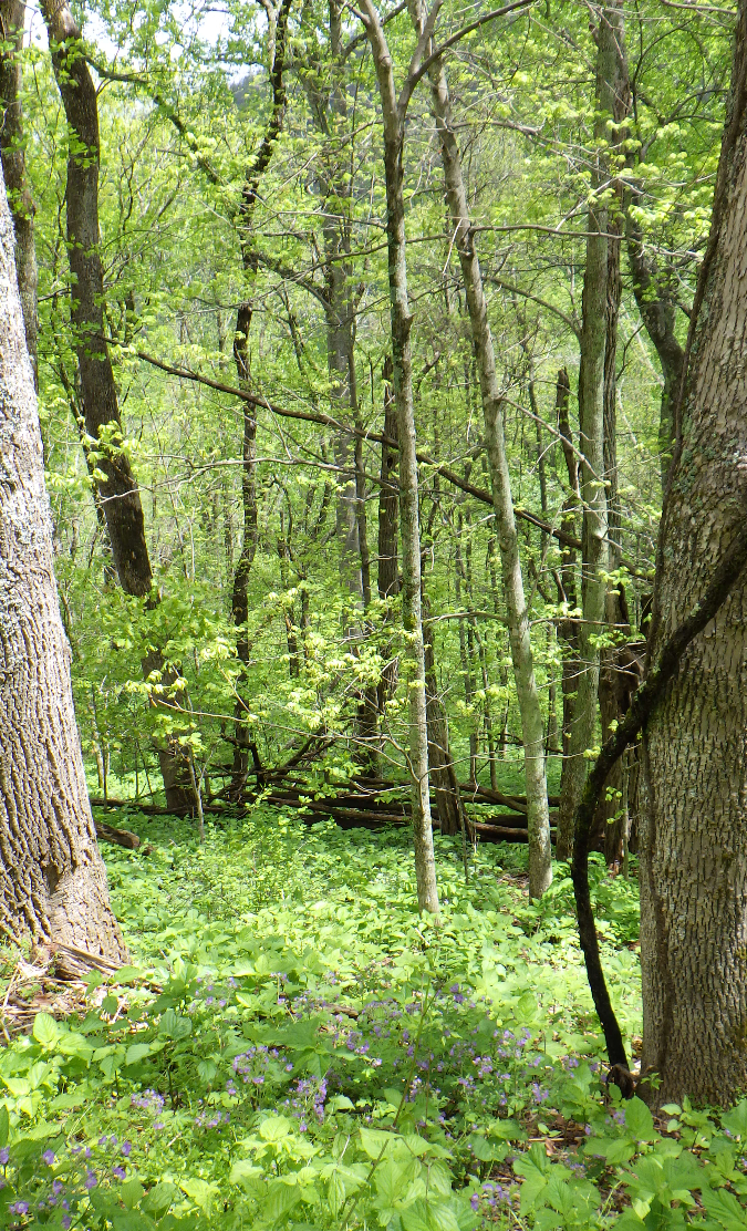
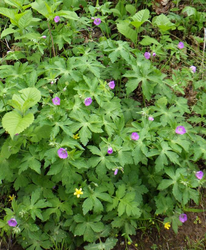
Just ten miles from my Asheville homestead is an easy connection to the Mountain-to-Sea Trail, a growing statewide amenity that is “a simple footpath stretching almost 1,200 miles across North Carolina from Clingmans Dome in the Great Smoky Mountains to Jockey’s Ridge on the Outer Banks.” My section climbs Bull Gap from Ox Creek Road to the ruins of Rattlesnake Lodge, just off the Blue Ridge Parkway. In early May, the trail is a stunning showcase of mountain spring flowers.

Trillium patch

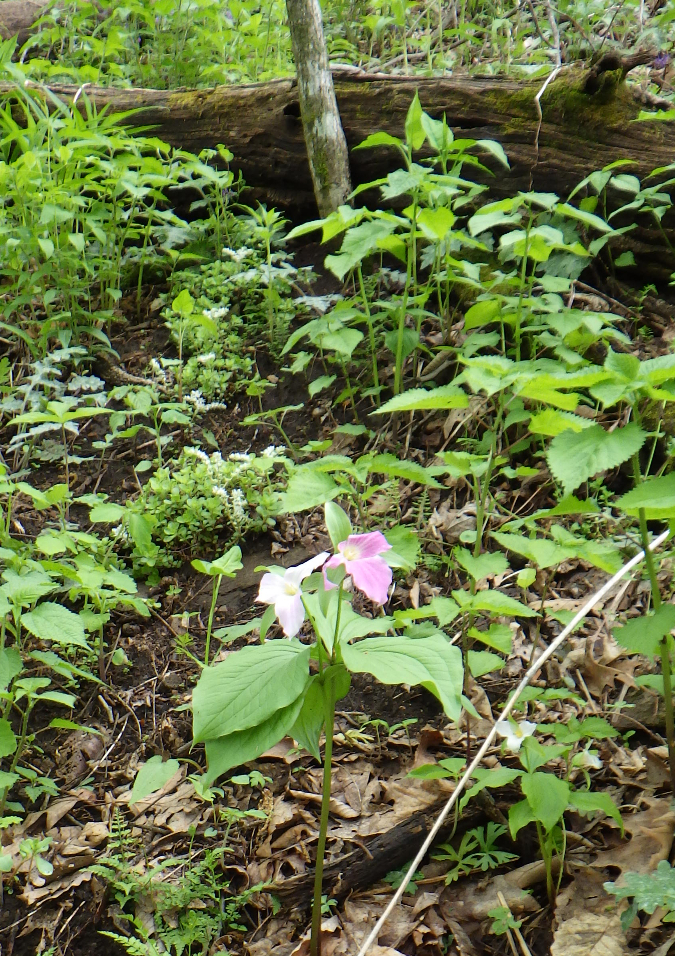
Trillium fruits become a food for deer. Wildflowers of the Carolinas by Nora and Rick Bowers states that ants take their seeds home and then eat only the oily coating, thus germinating some of the seeds. Wildflowers of the Blue Ridge Parkway by J.A. Alderman says they are “one of the stars of mountain wildflowers,” sometimes covering acres of forest floor.

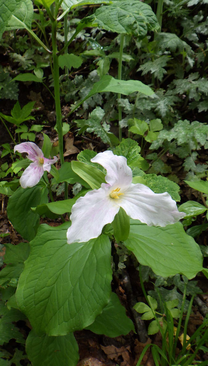
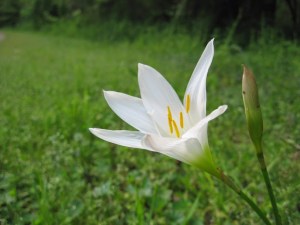
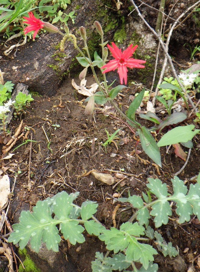
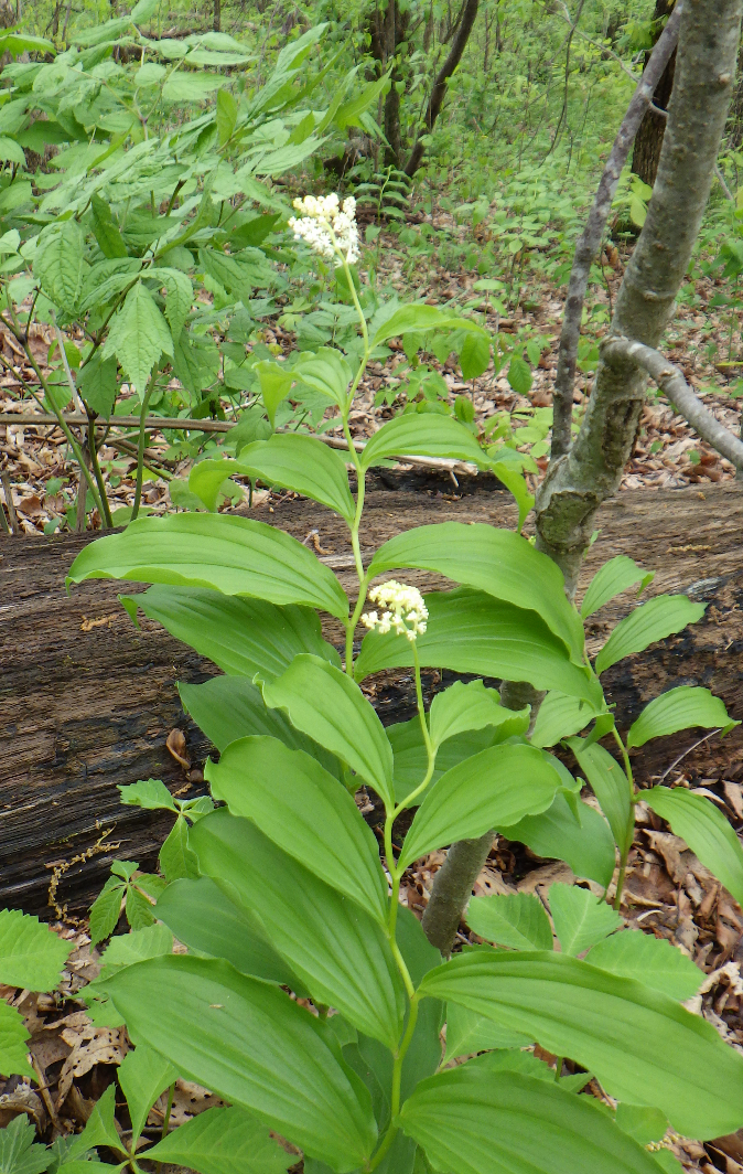
Trilium blooms start white and turn pink as they get pollinated. Mountain flowers blossom early before the leaf canopy closed in for the summer. By mid June, most of these blooms will be long gone.

Large-flowered trillium, trillium grandflora
phacelia Looking down the slope
The view across Bull Valley

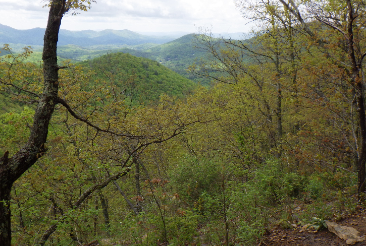
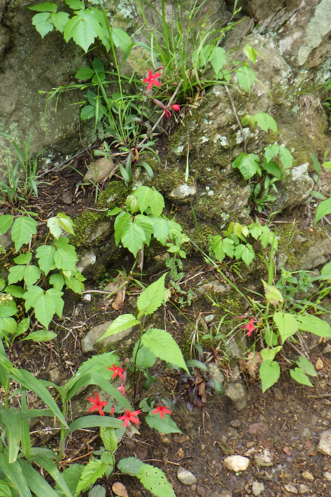
Yes, I see the poison ivy! The trail criss-crosses as it climbs and you can see folks quite a bit below or above you. Parking on Ox Creek Rd. gets crowded on the weekends. I have yet to get my retired old legs all the way to the top to see the remains of Rattlesnake lodge, said to be an impressive stone foundation. But I’ll get there sometime – maybe this fall to see the other end of this cycle.

wild geranium geranium maculatum
Phacelia bipinnatifida

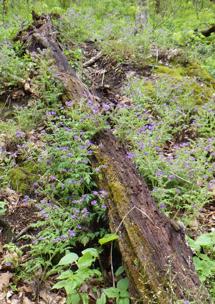
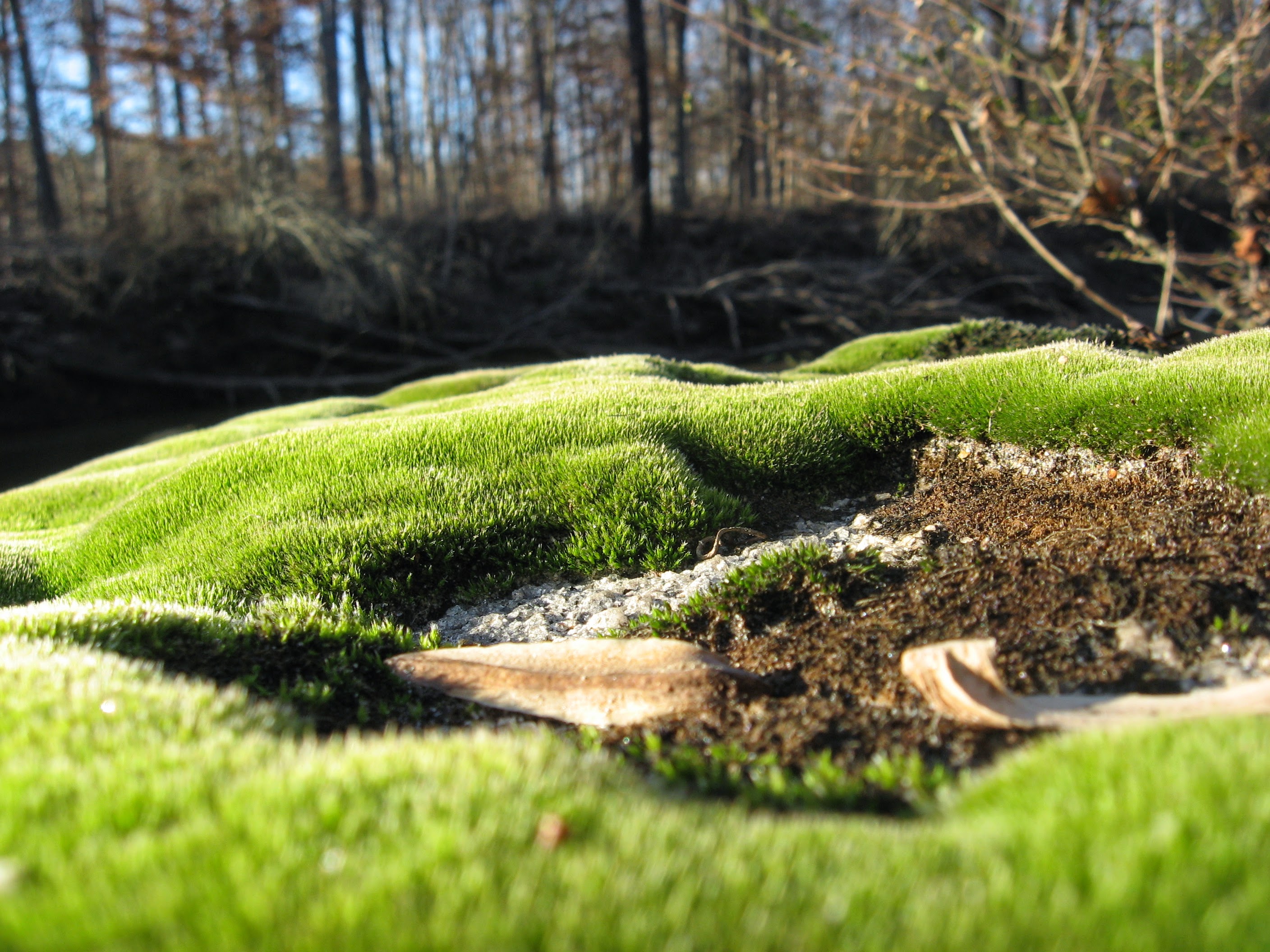
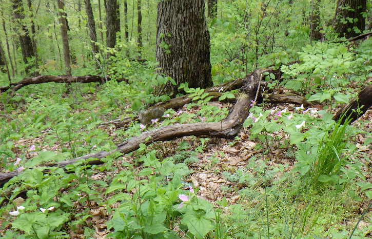
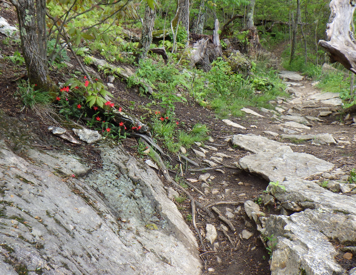
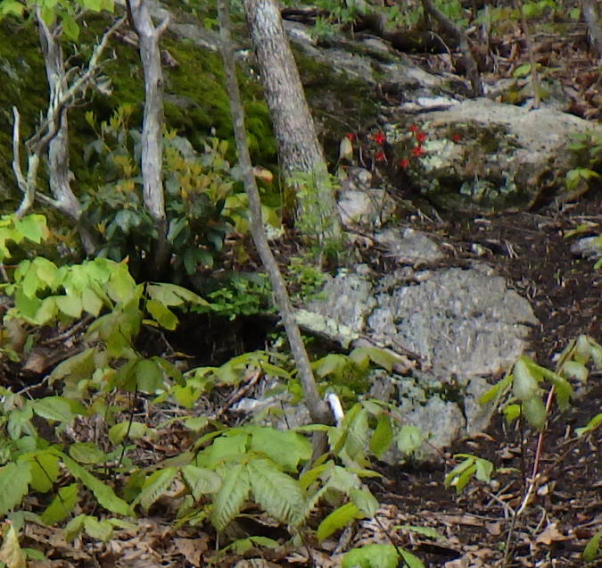
Fallen logs off the trail are left where they are and there are huge stone outcrops along the way.

Fire pink gets its first name for color: the second is its flower family.
false Solomon seal
wild white violets
bearcorn Conopbolis americana

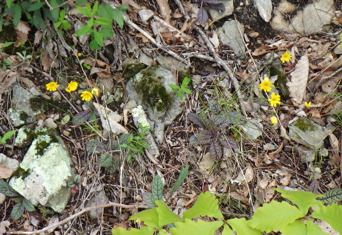
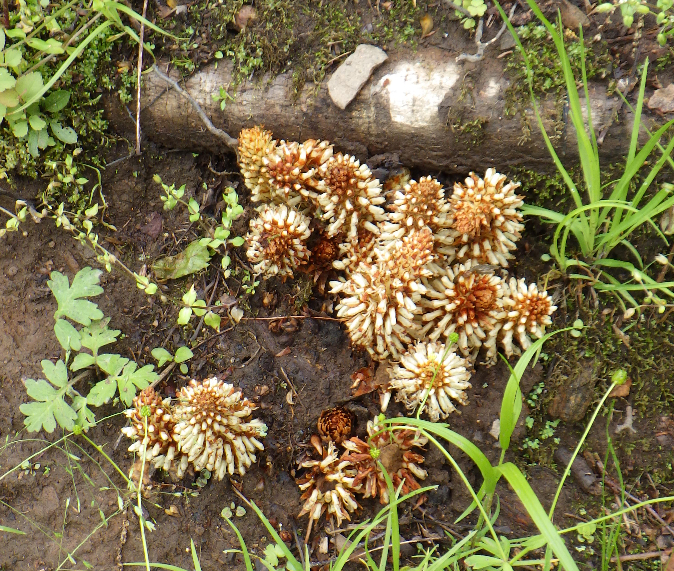
This is a parasitic plant that lives off of tree roots. It is less respectfully called squaw root, as Native American woman used it medicinally. It grows in dry woods near oaks, so there are several specimans on this trail.

phacelia patch

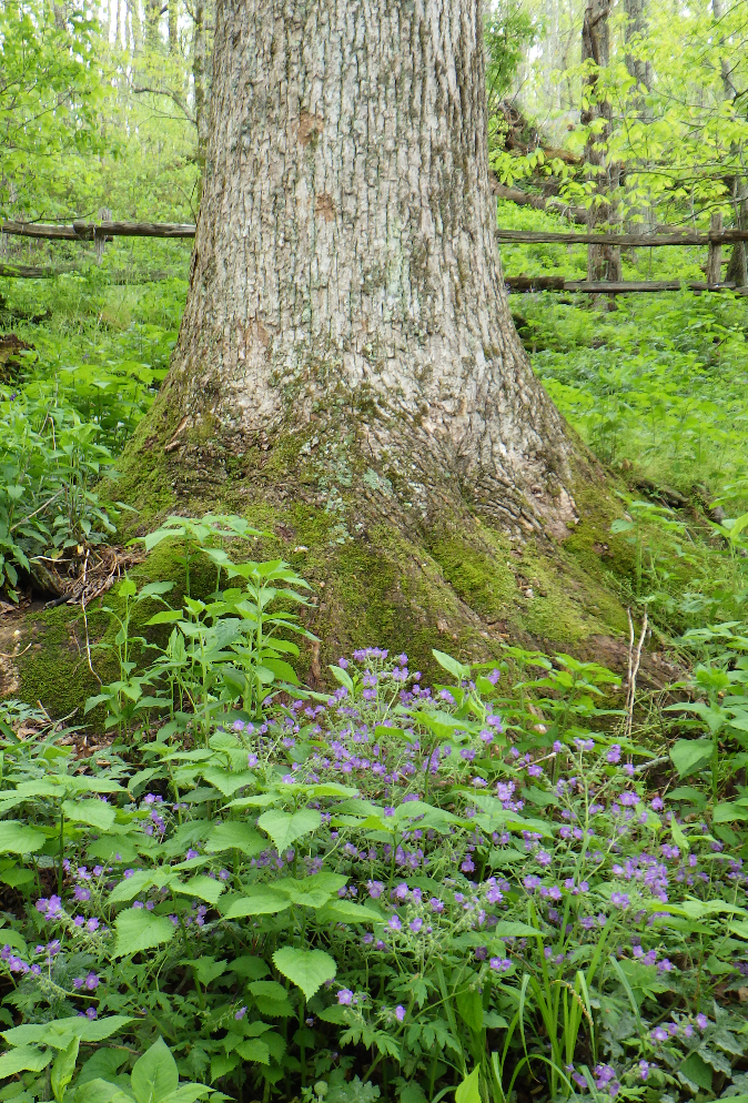
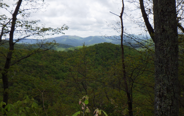
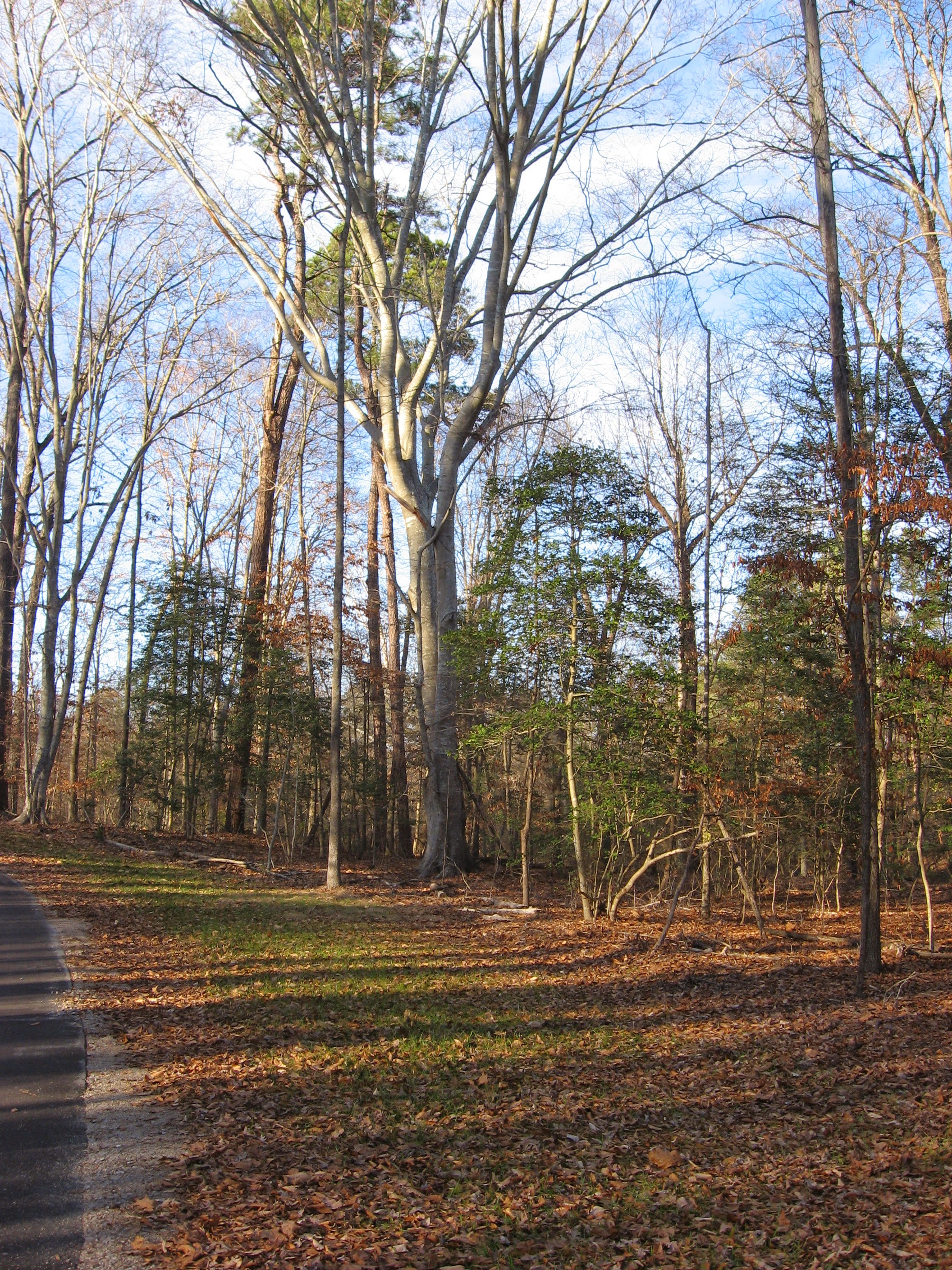
The Appalachian mountains in North Carolina represent a highly diverse mix of Northern and Southern plant species. You can watch the species change as you gain elevation on this steep trail.

ramps on my own mountain slope in Baird Cove

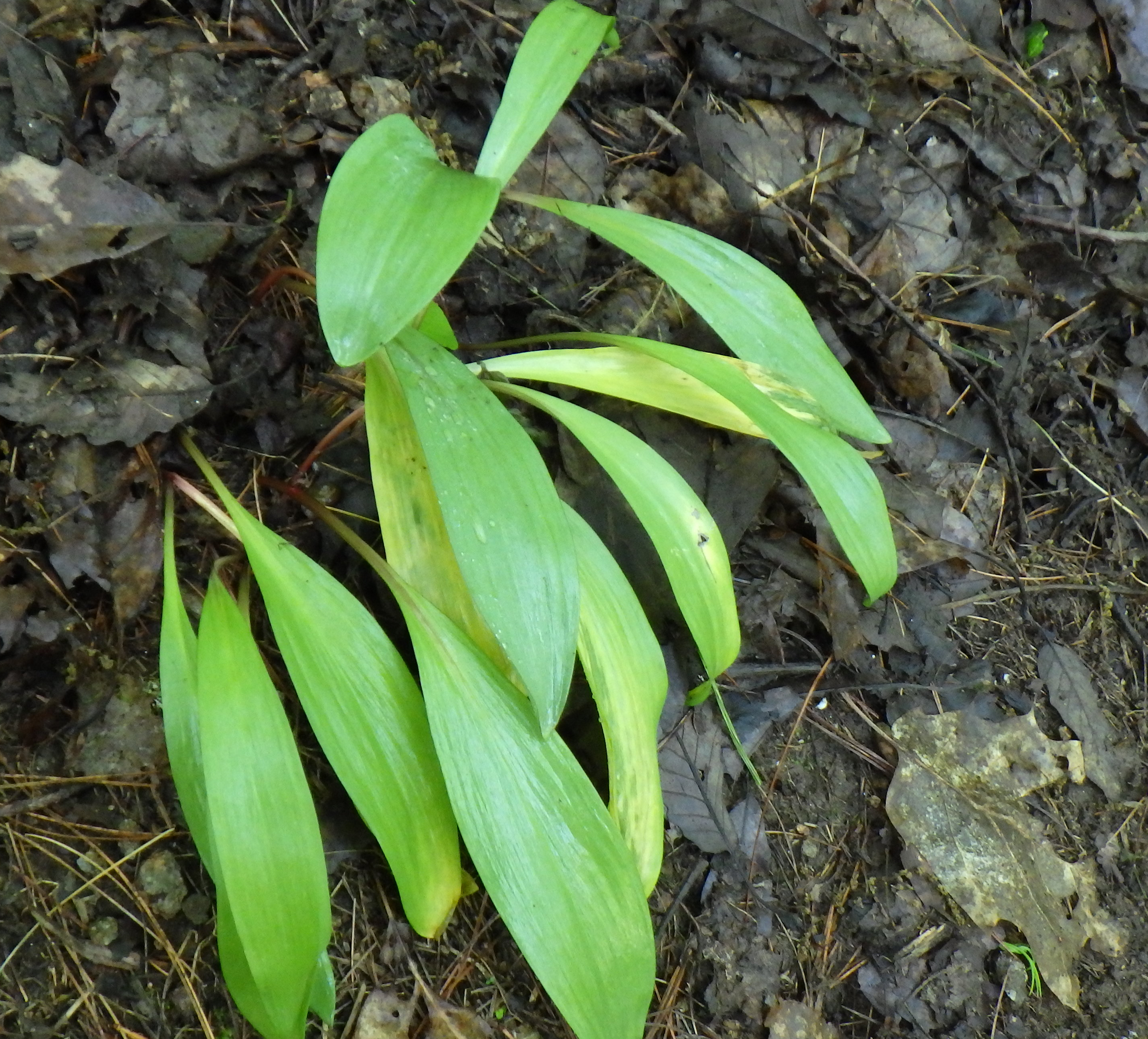
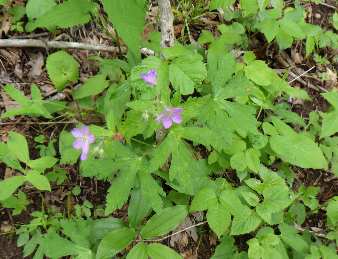
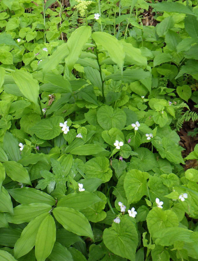
My own backyard offers quite a few wild spring flowers, but it can be hard to catch them in bloom! Wild iris, rattlesnake plantain (an orchid), jack-in-the-pulpit, star chickweed, and trout lily appear, but some of those just for a few days before taking on their summer form. I have purchased and transplant ginseng and ramps just for the fun of it. Happy trails in your spring flowers findings!

Read the book based on this blog

The Natural History of Raleigh

November 15, 2019

The Natural History of Raleigh Is One Year Old

Filed under: About & reflection, Greenways & Parks — Tags: , — raleighnaturalist @ 5:27 pm

atamasco lily on Buckeye Trail in East Raleigh

My book about greenways, natural areas and wildlife lore in central Raleigh is one year old! I am over half-way through with making hand-laid paper covers and letterpress printing them for the edition of one thousand. Many have sold through Quail Ridge Books in North Hills, but I am also grateful to So&So Books in Oakwood, The Concern Newsstand in Chapel Hill, The Mordecai House gift shop and especially all my friends and others who ordered directly or through Amazon. I hope all readers of Raleigh Nature will want to obtain and read the book based on this blog.

It was also lovely to have the News and Observer do a nice feature on the book and to have the current issue of Walter Magazine run an excerpt of the tree chapter dedicated to the huge oak we just lost across from The Berkeley Cafe.

Nash Square oak tree by N&O

Thanks to all the readers of this blog, which helped make the book a reality. Raleigh rules! When it comes to greenways, anyway.

The Natural History of Raleigh

May 24, 2019

Schenck Forest Preserves Forestry Lore and Practice

Filed under: Greenways & Parks, West Raleigh, Western NC — Tags: — raleighnaturalist @ 6:06 pm

Schenck Forest held a special place in my family back when the kids were the right ages to run with the dogs down in the creek bottom. Yes I admit we used to give them free run once we were down there. Those days are long gone – I understand the strict reinforcement of the rules, and I surely cannot say I never saw dog problems there. The place remains a beautiful place to visit, but it also represents an important marker of forestry practices, and is named for the pioneering sustainable forester who made his name at the Biltmore Estate.

Carl Alwin Schenck

Dr. Schenck was hired by George Vanderbilt to design and manage Biltmore’s forestry operations after the “partial”departure of Gifford Pinchot. He founded a forestry school that greatly influenced the American industry and his work on the future Pisgah National Forest set a grand example of forestry practice at its best. NCSU’s 300 acre teaching forest enables today’s students to learn about and put into effect the principles of selective logging to enhance long-term value, protection of diversity in the forest habitat, and nurturing of future resources.

View from Edwards Mill Road intersection

photo courtesy of twbuckner

Above, Schenck Forest is to the left of the Reedy Creek Trail, which runs from the NC Museum of Art to the southern entrance of Umstead State Park. The forest ranges down to Richland Creek. There are several loop trails. As seen below, the area has ever-changing stands of trees – mostly loblolly pine -at all stages of development.

The strict leash rules were implemented in 2005. Enforcement via horseback, bike, and undercover on foot takes place afternoons and weekends. Richland Creek makes some big sandy swimming holes as it traverses the bottomland, and the temptation is high. Violators may be banned from the park for a year. The popularity of Schenck Forest remains very high. Biltmore’s huge acreage became a national forest and Carl Schenck is well memorialized by this wonderful Raleigh amenity.

The Natural History of Raleigh

click above to buy the book based on this blog

February 14, 2019

Raleigh Swamp Recovers from a Swamping

Raleigh Swamp is a prominent, even dramatic feature of the Raleigh Greenway at the intersection of Crabtree Boulevard and Raleigh Boulevard, joining Buckeye Trail to Middle Crabtree Trail and crossing a large shallow body of water with a causeway. The water was never intended to be permanent, but a wetland was turned into a shallow lake by the work of beavers, as explained in this 2013 post.

The place is a paradise for visiting birds, thirsty deer and other wildlife, and an amazing collection of turtles that bask by the piled up dozens on the many logs protruding from the water. The causeway was built with best ecological practices, minimizing disruption, but it has needed repairs recently because of extensive flooding. Cara and I visited in November 2018 and saw some of the work.

The crossing of the greenway with a utility cut has been strengthened and guarded with metal gates. The northwestern end of the site has a short stretch of asphalt that has repeatedly been ruined as the flooded marsh cuts through the shoulder of Crabtree and dumps excess water into the creek. looks like they are going to repair (instead of culvert) it once again, but this spot has closed the causeway, officially that is, for months. Most people just make their way around the mild barricades.

Different species of trees can tolerate shorter or longer periods of flooding. Ash, river birch and of course willows can survive many weeks of inundation. But if flooding lasts too long, trees die and the vegetative regime changes.

This area was a scrubby wetland with a smattering of drier tussocks and paths through it until the construction of the Raleigh Boulevard bridge. Many relics of the former trees dot the wide expanse of water. There is thus a small justiofication for the term used by locals and myself, Raleigh Swamp, though in fact this is a marsh. Whatever you call it, it’s a great place to bike walk, fish, or bird watch.

Below is the illustration I created from the lead photograph for my new book, the Natural History of Raleigh. Raleigh Swamp is featured in Chapter Four.  Happy trails!

The Natural History of Raleigh


January 10, 2019

Lassiter Mill – Most Searched and Commented Post

Lassiter Mill illustration from John Dancy-Jones’ book The Natural History of Raleigh

Lassiter Mill and Raleigh Mill History is by far the most popular post on this blog, with “Lassiter Mill” the biggest search term. That early post has served as a magnet for people looking for information and stories about Raleigh Nature. And the comments on that post, found here, are an amazing collection of memories, from jumping off the bridge to family picnics, from shad runs to visiting Mary Lassiter at her store beside the old mill. Plus local history from a descendant of Issac Hunter! The comments are featured in my newly published book, and have helped it become quite popular at Quail Ridge Books, which is now located just a mile up the hill from Lassiter Mill.

The Natural History of Raleigh

16 chapters, 30 illustrations conveying the sights, nature lore and history of Raleigh’s natural areas and greenways

January 26, 2015

Anderson Point Anchors the Union of Crabtree and the Neuse

moss mountains by Crabtree

moss on a rock outcrop by lower Crabtree Creek

Crabtree is usually a low-flow creek, but after long and heavy rains, its flow can rival the Neuse River, of which it is a major tributary. The newly completed lower Crabtree Trail, featured in my previous post, provides a very long bridge that gives you a good sense of Crabtree’s large size as it approaches Anderson Point to flow into the Neuse.

Crabtree bridge at Anderson

Crabtree begins in Cary and after passing though Morrisville and Umstead Park, arcs across north Raleigh, roughly parallel to 440. It gathers water from Brier Creek in the north to downtown Cary in the south: a huge swath of Wake County’s terrain. As it approaches Anderson Point Park, it is large and wide.

Crabtree Trail crosses the creek at Anderson Point

Crabtree Trail crosses the creek at Anderson Point

Anderson Point Park is a large complex amenity. Off Rogers Lane (from New Bern Avenue or New Hope Road) you can park before the bridge over the 64 bypass to access the Neuse River Trail and canoe put-in, or cross the bridge into the park proper, where large fields, picnic shelters, and specialty gardens attract many local families. At the bottom of this large and open expanse, a wooded path leads to the confluence of Crabtree and the Neuse. The connector with the Crabtree Trail is back at the top of the slope.

Crabtree Trail at Anderson

Following this path northward from the park, one gets a great sense of Crabtree’s lower floodplain forests. Large beeches are profuse, and American holly greens up the dark stands of winter sweetgum and ash.

beech on lower Crabtree Trail

American holly in Crabtree's floodplain

American holly in Crabtree’s floodplain

The ancient age of Crabtree can be inferred from sandstone outcrops – huge rocks built by the creek itself over eons. Just before the creek crosses under Rogers Lane, it crosses over flat sheets of even older, harder rock and is only a few inches deep in times of low water. On the day of this visit, the water was high and the “rapids” were only visible as white ruffles in the brown flow.

rocks by lower Crabtree

My favorite spot on both my recent visits was a rocky overhang where the creek makes a sharp turn before approaching the river. The rocks are covered with a minature forest of moss, and on the second visit they were sunlit and quite photogenic.

moss on rocky overhang

Buckeye Trail, seen below, represents the oldest and “wildest” section of Raleigh greenway. Now it also presents a connection to a huge greenway loop around Raleigh, utilizing the Neuse River trail and the long extension of the Walnut Creek Trail to the River. Anderson Point is a great focal point for these connections, The exciting Mingo Creek Trail connection, just upstream, will have to wait for another post. Happy hiking or biking on our wonderful, ever-growing system!

Winter sycamores guard Buckeye Trail connector on Milburnie Road

Winter sycamores guard Buckeye Trail connector on Milburnie Road

Older Posts »

Blog at WordPress.com.