The Raleigh Naturalist

June 18, 2009

News, Notes and Another Promise

The Natural View

The Natural View

Why I have posted just once a month for 3 months:

Best reason – my new column on nature and environment at Raleigh Public Record.

Very good one: I have been documenting The Bain Project, posting like a madman at Raleigh Rambles.  The Bain Water Treatment Plant has plenty of relevance for Raleigh Nature, as it used nature’s own filtering process – gradations of rock and sand – to clean water drawn from Lakes Raleigh, Johnson, Benson, and Wheeler.  It and the more ancient pumping  station which served as the city’s first water facility sit beside Walnut Creek (more about Walnut Creek below).  Just behind the Bain facility is a wonderful greenway deck that traverses wetlands strewn with swamp mallow,  huge white blooms that startle in a sea of southern green.

Raleigh Naturalist at Bain

Raleigh Naturalist presents at Bain

 Good news: I have more time now, being a teacher, and I also hope to bring Raleigh Nature readers some neat photos from our anniversary weekend in Charleston and our upcoming trip to Bar Harbor and Mount Desert Island.  My promise is at the end of the post.

Walnut Creek greenway at Rose Lane

Walnut Creek greenway at Rose Lane

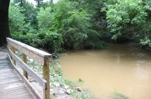
Lots of happenings around the greenways.  The section that follows Walnut Creek  parallel to Poole Road got flooded Tuesday June 16, along with Rose Lane and other roads near the creek.  The NandO story about the flooding was being followed up the next day by Josh Shaffer, who I met walking Rose Lane when I went to photograph the high water on the greenway. He was hoping to chat with some of the folks who are stranded by high water once every year or so at this dead-end extension of Rose Lane across the creek. I remember quite well my teenage years when Rose Lane dead-ended into a meadow well short of the creek, because we used to drive down there to park in what seemed like deep country in the sixties. Whoever decided to build houses past a perennial wetland with no outlet is the real problem, but the curent residents are facing the consequences.   Josh covers lots of interesting stuff for Nando, from Legos to beloved beer slingers to taking small children to play in cemeteries.  His recent story on kayaking Crabtree Creek   really struck a chord, with its realistic description of the grit, mud and smells encountered on the creek, but I prefer the much quieter section of Crabtree above Lassiter Mill for canoe jaunts.  Getting back to poor Walnut Creek, the heavy rains that caused flooding also sent 15,000 gallons of untreated sewage into the creek upstream in Cary, but the Nando story said no fish kills had been reported.

sliders at Yates Mill_1_1

Newsflash from NandO:  the 4 inches or so of rain also did damage at Yates Mill Pond, pictured above, which has temporarily closed the millsite and trails. Repairs are expected soon.
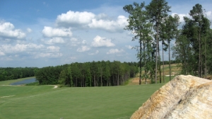
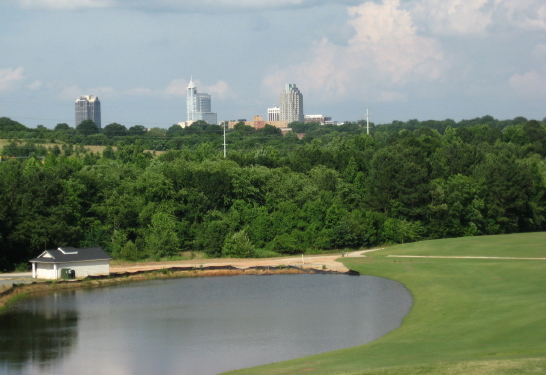
Lonnie Poole golf course_1_1  The new Lonnie Poole Golf Course around Lake Raleigh is mostly finished and expected to open in July. I posted dismal views and comments about this project in February 08, but when I stopped by recently I felt a little better.  There are lots of wooded buffers, especially next to Walnut Creek, and I must admit the course is looking pretty.

Raleigh skyline from Poole Golf Course

Raleigh skyline from Poole Golf Course

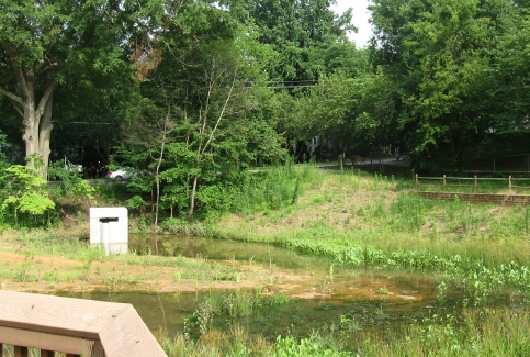
The Fletcher Park water garden is being fine tuned.  Apparently the water level, though quite low down in the retention ponds, was too high for some of the plantings, so a crew came in and extended a kind of penisula of land into the lowest pool, as you can see below.  The crew that explained this to me were taking survey sightings to appraise the work that had been done.  Many of the original plantings had been shifted to higher ground.

new Fletcher peninsula_1_1

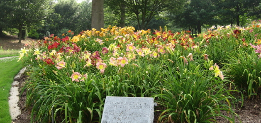
The ponds still look pretty muddy to me, but I know time will do wonders. They had an opinion on one item that had been bugging me since the NandO article – springs.  There are no active springs in Fletcher Park, just surface water from the neighborhoods and seep from the ball fields.  Fletcher Park’s lilies are in full bloom!

Fletcher lilies_1_1

There!  All the nature news fit to post.  I can’t promise any certain frequency of posts, but I promise to stay totally committed to getting fresh postings up about nature and wildlife inside or near the beltline.  See you on the greenways!
January 5, 2009

Favorite Raleigh spots – 2008

Filed under: About & reflection, Gems & Surprises — Tags: , , , , , — raleighnaturalist @ 12:49 am

atlantic-ave-farm

     Well, Raleigh Nature is a year old – and haven’t we been through a lot, and boy, have I learned a lot!  This blog is just getting started in ways – more broad coverage of ALL of Raleigh ITBL, pages on invasive species, turtles and record trees, and addressing concerns and questions from readers, are all on my list.  But it was a good year and I’m very happy with the blog and most grateful for the responses.

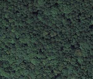
     Above is a Google Earth snapshot of what this blog is really all about – lost in wilderness inside the beltline – in this case,  the woodlot off the greenway at Atlantic Ave and Hodge Road, which was recently destroyed.   Let’s enjoy them while they’re here!  Below are my Raleigh Nature favorites for 2008.

**************

Crabtree near Milburnie Rd.

My favorite place to sit on a log. 

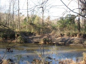
   Amidst the large tree stands that line Buckeye Trail, the oldest and easternmost section of Raleigh’s greenways threads its way beside the deep meandering banks of Crabtree.  Here we are looking at the spot where Marsh Creek marsh spills over into Crabtree after a heavy rain.  Nice spot for animals to come down for a drink, and above is the marsh skyline to scour for hawks and herons.

***********

Lassiter Mill Dam

My favorite spots to drown worms.

   Lassiter Mill, above and below the dam, is a wonderful place to fish with children, for turtle food, or even to fool around with your flyrod.

************

Yates Mill Pond

My favorite place to take a guest.  

   Yates Mill, with the old millworks, the gorgeously built new center displaying its history, a marked tree i.d. walk, a high ridge, a marshy meadow, and a fishing deck, has all anyone could desire from a nature outing.  It’s well outside the beltline but I love it too much to exclude it.

***************

Meadow off Sunnybrook

My favorite place to meadow tramp.

  The privately owned section of the old pecan farm surrounding Jones Lake is eventually doomed but is the best spot for seeing foxes, deer and footprints of those and more in the same trip.  Once it’s developed, I’ll have to settle for the county park across the highway.

************

Rocky Branch at Dix Hill

My favorite place to jump rocks.

   Dix and the greenway that connects it to Centennial and Washington School represents a fantastic dog walk, frisbee throw, pecan pick, or walk of any length you desire.  Rocky Branch, displaced by the Western Boulevard extension, has retained some of its good character.

************

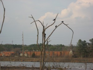
Raleigh Swamp

My favorite place to watch birds

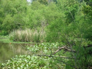
   Raleigh Swamp, which used to be irregular but has been made permanent by the damming effects of Raleigh Boulevard, has a large consistent and varied population of breeding and visiting birds.

************


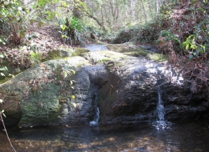
waterfall-close-up_1_1

My favorite place to listen to water.

   Jaycee park has a rock waterfall that, at two feet, is perhaps the largest inside the beltline.  It certainly is the prettiest of which I know.

***********

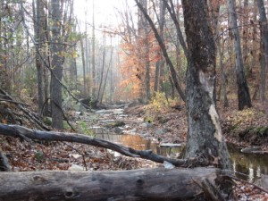
Longstreet greenway off Sawmill

My favorite place to photograph.

   This must be it, because this is my favorite photograph so far.  This creek borders the greenway which runs south beside Longstreet off Sawmill in north Raleigh. I’ll keep working on finding, and shooting, one even better.  Ya’ll have a great new year!!  Love, John

January 18, 2008

Yates Mill Ponderings

Filed under: Greenways & Parks, Nature Lore, Raleigh History, Raleigh mills, Southwest Raleigh — Tags: , , — raleighnaturalist @ 2:03 am

The park at Yates Mill Pond is in the purview of this blog – just over a mile from the beltline – but partakes of rural Raleigh and Raleigh history in a profound way that few other sites in that purview do.  The watershed, the mill history, the flood history, the facility and its wonderful homage to all of the previous: here is a nature experience with, truly, something for everyone.  The new center has marvelous open beam vaulted ceilings  and huge window walls that look out on the pond – you feel like you’re in a Biltmore hunting lodge. There is a large set of multi-media displays that give a rich sense of the mill’s multi-family, multi-disaster history.  Back outside, the fishing deck is usually in use, but there are lots of private corners of the pond to explore.

 Walk past the fishing deck and you have a choice of directions to begin a large loop: to the right you can explore a the wet meadow valley around a ridge from the main pond.This trail winds around by NCSU research farmland and then up the ridge to the Penny Road side of the facility.  Currently hurricane damage has closed the connecting segment, so that you are diverted back across the fishing deck to return to the center.

update 6-09 – all 3 trails are open

If you go left after the fishing deck, you are following a trail right beside the pond with twenty specimens of trees, labeled with numbers to go with a brochure available in the center.  There is lots of wildlife, such as the skink seen below. A great place we will return to soon!

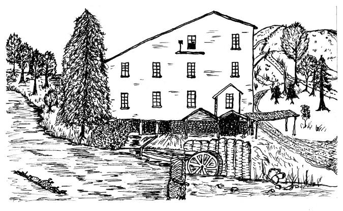
Below, from a historical image is my drawing in The Natural History of Raleigh.
Yates Mill Pond


Blog at WordPress.com.