
The Natural View
Why I have posted just once a month for 3 months:
Best reason – my new column on nature and environment at Raleigh Public Record.
Very good one: I have been documenting The Bain Project, posting like a madman at Raleigh Rambles. The Bain Water Treatment Plant has plenty of relevance for Raleigh Nature, as it used nature’s own filtering process – gradations of rock and sand – to clean water drawn from Lakes Raleigh, Johnson, Benson, and Wheeler. It and the more ancient pumping station which served as the city’s first water facility sit beside Walnut Creek (more about Walnut Creek below). Just behind the Bain facility is a wonderful greenway deck that traverses wetlands strewn with swamp mallow, huge white blooms that startle in a sea of southern green.

Raleigh Naturalist presents at Bain
Good news: I have more time now, being a teacher, and I also hope to bring Raleigh Nature readers some neat photos from our anniversary weekend in Charleston and our upcoming trip to Bar Harbor and Mount Desert Island. My promise is at the end of the post.

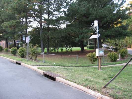
Walnut Creek greenway at Rose Lane
Lots of happenings around the greenways. The section that follows Walnut Creek parallel to Poole Road got flooded Tuesday June 16, along with Rose Lane and other roads near the creek. The NandO story about the flooding was being followed up the next day by Josh Shaffer, who I met walking Rose Lane when I went to photograph the high water on the greenway. He was hoping to chat with some of the folks who are stranded by high water once every year or so at this dead-end extension of Rose Lane across the creek. I remember quite well my teenage years when Rose Lane dead-ended into a meadow well short of the creek, because we used to drive down there to park in what seemed like deep country in the sixties. Whoever decided to build houses past a perennial wetland with no outlet is the real problem, but the curent residents are facing the consequences. Josh covers lots of interesting stuff for Nando, from Legos to beloved beer slingers to taking small children to play in cemeteries. His recent story on kayaking Crabtree Creek really struck a chord, with its realistic description of the grit, mud and smells encountered on the creek, but I prefer the much quieter section of Crabtree above Lassiter Mill for canoe jaunts. Getting back to poor Walnut Creek, the heavy rains that caused flooding also sent 15,000 gallons of untreated sewage into the creek upstream in Cary, but the Nando story said no fish kills had been reported.

Newsflash from NandO: the 4 inches or so of rain also did damage at Yates Mill Pond, pictured above, which has temporarily closed the millsite and trails. Repairs are expected soon.
 The new Lonnie Poole Golf Course around Lake Raleigh is mostly finished and expected to open in July. I posted dismal views and comments about this project in February 08, but when I stopped by recently I felt a little better. There are lots of wooded buffers, especially next to Walnut Creek, and I must admit the course is looking pretty.

Raleigh skyline from Poole Golf Course
The Fletcher Park water garden is being fine tuned. Apparently the water level, though quite low down in the retention ponds, was too high for some of the plantings, so a crew came in and extended a kind of penisula of land into the lowest pool, as you can see below. The crew that explained this to me were taking survey sightings to appraise the work that had been done. Many of the original plantings had been shifted to higher ground.

The ponds still look pretty muddy to me, but I know time will do wonders. They had an opinion on one item that had been bugging me since the NandO article – springs. There are no active springs in Fletcher Park, just surface water from the neighborhoods and seep from the ball fields. Fletcher Park’s lilies are in full bloom!

There! All the nature news fit to post. I can’t promise any certain frequency of posts, but I promise to stay totally committed to getting fresh postings up about nature and wildlife inside or near the beltline. See you on the greenways!


