

Joe Miller’s recent column about the “bandit trails on the northeast section of the greenway expresses justified shock at the denuding of these hillsides right next to the greenway. His concern is the trail bikers, whose magnificent structures are only hinted at in my only pictures before their destruction. I am sorry I didn’t photo more – I always felt a little guilty about creating evidence against them. But now I wish their death-defying ravine crossing were documented. Maybe, somewhere, they are.
But the larger picture surrounding this greenway is just about as fascinating…Longbranch, steep hillside engineering project ( under repair), the rock that turns Crabtree…and the shocking side by side shots of the winter view from the greenway then and now
Final post as it appeared on Raleigh Rature’s 1st url.
published March 6, 2008
Bike Trails RIP highlights greenway loss

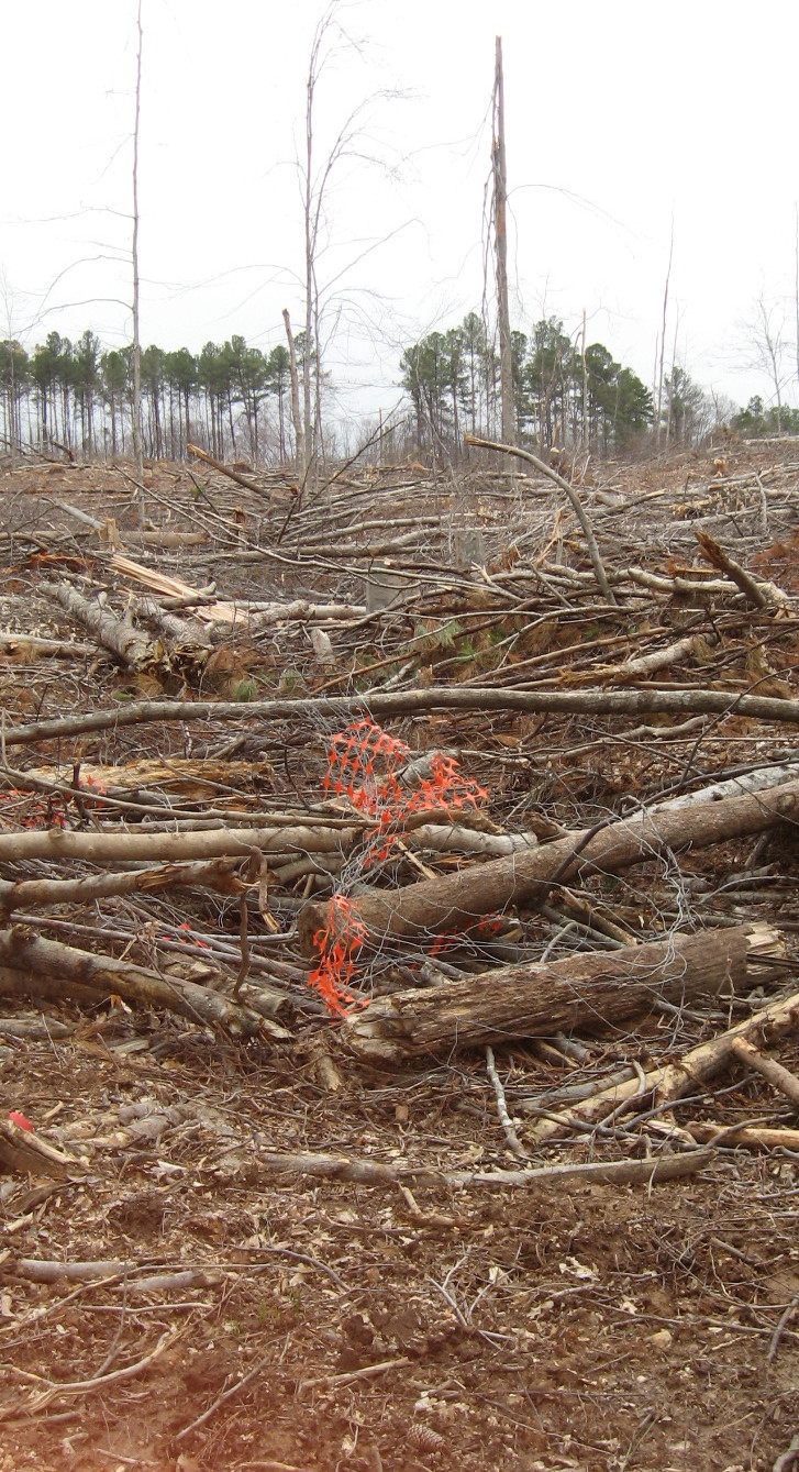
The destruction of the bike trails described by Joe Miller is not just significant for these bandit bikers: all users of the greenway between Atlantic Avenue and Capital Boulevard should mourn the loss of this old farm site, whose naked hillsides (and future clapboard townhouses) are easily visible from the greenway. Riparian buffer is the term for the ecological value of these wooded areas contiguous with the greenway: the trees absorb rain as well as pollution, shade and cool the waters of Crabtree. Of course, the wildlife appreciates wooded areas next to the creek as well.

This is a rich and variegated section of greenway with lots of interesting features in addition to the old farm site. If you park off Capital Blvd. at its intersection with Yonkers Road, you will have to jump the barrier that tells you this problematic section of greenway deck needs shoring up (since repaired). The risk seems minimal, and I’ve done it many times. From this deck you can see the naked hillsides, and then follow that section of greenway as it heads toward Atlantic Avenue.

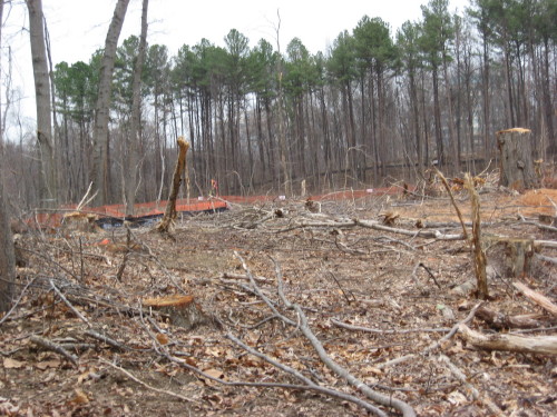
view of Joe Miller's "mohawk look" from greenway
view from end of Six Forks
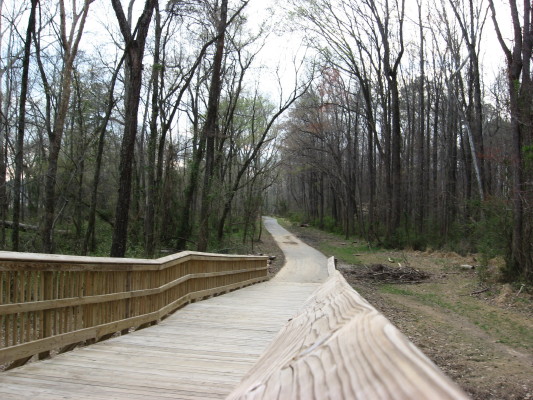
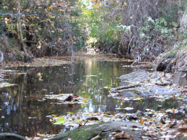
All is not lost. Below is a lovely path that begins at the base of the hillside deck and heads straight toward the southbound ramp off the beltline for Capital Boulevard. If this stretch survives the development, that will be significant for this greenway section.
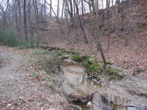
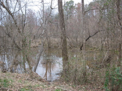
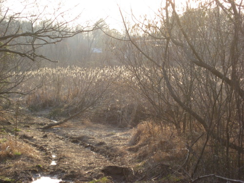
From the west end of the dramatically steep but problematic deck, you are looking toward Atlantic Avenue. This stretch parallels Hodges Road and looks across Crabtree at the old site for the State Farmer’s Market. Below you see a bog visible to the right of this stretch, and the cattail marsh between it and Atlantic. This marsh has not kept its water – aside from the drought – since greenway construction occurred at its feed into Crabtree. It is quickly becoming a scrub meadow.


