The Raleigh Naturalist

June 29, 2008

Lots to Lose – Lots to Save

Filed under: East Raleigh, Nature Lore, Pecans & Mistletoe — Tags: , , — raleighnaturalist @ 8:53 pm

This post was originally published Feb. 24, 2008.

This meadow off Sunnybrook is surely doomed, but it is sure fun to browse for now.  I have seen deer and gray foxes, lots of butterflies and a wonderful diversity of plant communities that range themselves around the various landscapes contained on this old farm.  It is the remnants of the very large farm bisected by the eastern stretch of the Beltline and displayed in all its historicity at Oak View County Park right across the highway.  This privately owned portion contains two ponds, one large enough to be called Jones Lake, an abandoned farmhouse, and a small grove of pecan trees.  The main pond is dammed at an unusually deep cut into sandstone that makes for an imposing ravine just below the dam, which then delivers the water to Crabtree, close by.  You can walk from the Sunnybrook meadow down a hill to the pipeline cut that parallels the beltline, and follow that water all the way to the pumping station , to see where those teenagers flung their Dad’s sports car over the guard rail, and you can see the memorials left at the site, which is still slightly blackened and scarred from the conflagration. This floodplain zone is wet and full of animal tracks.  The soil is sandy and obviously derived from the sandstone bowl which helps form Jones Lake. Or you can walk across the top of the dam, jump past the ravine, and walk around to the upper pond near Poole Road.  Here you see the pecans and the upland plants that are taking over from them.  Whatever subdivision gets created here will surely make some benefit out of the water holes and the many mature trees.  You would hope, at least.  I also used to park on Poole Road just past the fire station and walk in from that direction, but that end, between the upper pond and Poole, is now already under construction.  The clear cut for that part is not promising.  See below.


The meadow ends at the slope down to the creek that drains Jones Lake.

              The upper pond and pecan grove.

And the clearcut.

Lake Raleigh and Arnie’s latest project

Filed under: Southwest Raleigh — Tags: , — raleighnaturalist @ 8:20 pm

This post was originally published on Feb 10, 2008.

A great blue heron soars above Lake Raleigh, pictured below. Enjoy these images and then steel yourself: for myself, Russell B., Tom P. and many others, the content of this post is tragic. Places I took my children, I will never show theirs.

The loss of these hillsides, beloved by Raleigh trampers of the non-path, searched (and reportedly sown) by generations of NCSU botanists, studied by students, studded with rich diverse plant and animal populations: this is surely a greater loss in terms of pure ecology than any other Raleigh landscape changes I can think of recently. I know the red clay pictures are unfair, I know the sign (legible if you click on my picture) explains that this will be a model “green” golf course and a lab for NCSU environmental designers (just like the one they are building at the coast just for Basnight!) I even accept that most of these scenes were covered with fairly scrubby trees and was historically cultivated, and that the golf course will offer lots of pluses for wildlife. I was relieved to see the study area still intact on the lake hillside that also contains the new President’s house and Alumni House. But even after the golf course, they are not nearly done building here. Hopefully below is the low spot and it all gets better from here! But I’m sad. Arnold Palmer is designing the course – it’s bound to be pretty traditional design when push comes to shove. Good luck to the foxes! Not much hope for the deer. But then, we’ve got too many of them anyway 😦

see all my golf construction pics

Lake Raleigh photo tour

later post with pics of completed course

Greening Raleigh – a continuum to the past

Filed under: About & reflection — Tags: , , , — raleighnaturalist @ 8:07 pm

This post was originally published Jan. 30, 2008.

Blue-eyed Grass

Noam Chomsky gave a nice talk Sunday that made me proud and (like always) made me think. He stated that many important social movements in America had germs in the sixties, but became important and effective in the seventies – women’s rights, the environment…not a new observation, but it reminded me that this blog has its real beginnings at Enloe High School in 1970, when I founded an Ecology Club there. We sent our student body president to a Governors Task Force of the time, and she and I got interviewed on WPTF radio. Chomsky says generating the conversation in the public mind is the essential tool available to the left, so I felt I could claim an early start in the continuing process of raising awareness and pushing for policies that protect, preserve, and provide public access to natural areas and wildlife. My own awareness goes all the way back to 4th grade, when my teacher Thelma Jones taught us nature and farm lore, and graciously spent personal time on our private Science Club. She burned into my soul that it would be sacrilege to pick or destroy blue-eyed grass (pictured above) – my first knowledge of an endangered species or that such a thing could be.

************

My “about” statements make it clear I am not an activist. But I hope this blog and its links are a positive force in the greening of Raleigh. Now there are really wonderful people doing much more direct work. Sue Sturgis is doing great work at the Southern Institute, Boylan Heights is still battling for Dix Hill, and most appropriate of all for this post – a local high school student is organizing and lobbying for Richland Creek! All of these and more are on my sidebar. More can be found at my Environmental Ed. links. (Teaching EE to high schoolers is my highest form of activism). Beauty is truth, said Keats, and even if the beauty is chaotic (see our Lady Banks below), there is always light to reach for. Let’s keep on reaching!

the Lady Banks rose that climbs our pecan trees

May 4, 2008

Metropolitan photos and chapters in our geologic history

Filed under: Book Reviews, Nature Lore, Raleigh History — Tags: , , — raleighnaturalist @ 2:20 pm

Historic Photos of Raleigh-Durham. Dusty Wescott and Kenneth E. Peters. 2007. Turner Publishing Company. Nashville, TN.


I was delighted to receive Raleigh Nature’s first ever review copy of a publication, and even more pleased to see such a sumptous coffee table book in my hands.  Well constructed and beautifully printed in black and white, the images and captions are a treasure of information, memories, and comparisions.  The museum staff who worked on the book did a wonderful job of selecting the images and writing captions to place them into context. The final product, part of a series from this publishing house, has some real oddities in its organization and framework, but these probably won’t bother you unless you are a native of Raleigh or Durham.  Historic Photos of Raleigh-Durham gathers fascinating images of both cities into a scrapbook that displays but doesn’t define the histories of these two quite different cities.  The organization of the book, unfortunately, follows the perspective of the publisher rather than the writer.

 ************

The split personality of the book emerges in the first pages.  The publisher, Todd Bottorff, states that “Raleigh-Durham is looking ahead and evaluating its future course.”  He encourages readers to use this book to help them reflect “as they go walking in Raleigh-Durham.” He seems to be using a preface template for the series and filling in the name he sees on the front: Raleigh-Durham.  The introduction by a local historian quickly apologizes for this perspective, blaming “media marketing, modern census figures, and a shared international airport” for the perception of two of the Triangle’s three cities as a single entity, and pointing out the fact that Raleigh and Durham are distinct and unique.

*************** 

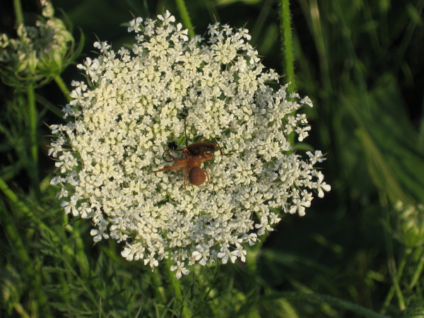
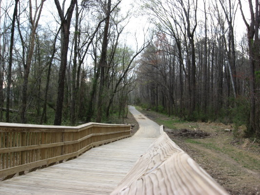
Enough of these quibbles!  – for now.  This large glossy book is full of delicious treats. The “chapters”  consist of photos from several decades, with intriguing titles such as   “Tobacco Trust and Trolley Cars” (1900-1919) and  “Let Freedom Ring Along Tobacco  Road” (1940-1965). Single page introductions to these sections offer a smattering of trends from the era for each city.  The natural history of Raleigh gets its due. The Raleigh Light Infantry lined up on Morgan Street in front of the Capitol in 1875 shows young trees I think I recognize as today’s giants.  The oxcart in a Capitol view from the opposite side in the early 1880s shows large mature trees that are long gone.  A blizzard and a flood in 1899 are depicted in images that relate directly to nature in past Raleigh.  And natural history aside, any Raleigh native will enjoy looking at images like the newly opened Broughton High School, with Peace Street a dirt path and the Cameron Village area a deep forest.  This was in 1929, just before the Raleigh Civic Auditorium burned, and was quickly replaced by Memorial Auditorium.  This was during the Depression, of course, and though I knew my grandfather and many others were secure throughout the Depression because of the railroad, I didn’t know Raleigh’s civic building program fared so well.

************ 

Durham gets nearly equal coverage.  The images of the Duke homestead and rural -looking tobacco factories complement picturesque memories of early motorcycles and tree-sitting contests. Durham, which I was surprised to learn was not incorporated until 1869, is characterized as strongly influenced by tobacco and Duke University, but the book’s images also convey Durham’s blue collar and African American influences. Road-building between the two cities and early airports gets good representation.  But the photographs associated with a given theme are scattered throughout the book.  Raleigh and Durham images appear side by side.  Photographs of a single subject will appear pages apart.  If you are doing anything other than random browsing, the lack of order and cohesion in the content is disconcerting.  It is as if two local folks were hired to gather archival images and write captions, and then someone in say, Paducah, Kentucky, gathered them and laid out with only one idea – “look nice.”

************ 

The book looks quite nice indeed.  The arbitrary and sometimes truly odd juxtapositions can perhaps be provocative in a positive way.  I have never seen most of the images before.  I am glad to have the book, and recommend you buy it, if you have a strong interest in the area, or like nice coffee table books.  And perhaps we can learn from our unenlightened publisher:  The Triangle is an emerging mini-megapolis, whose borders are blending.  Raleigh and Durham will always have a strong separate identity, but the world is working out how to classify us.  RDU, RDC, Raleigh-Durham – these are all labels trying to capture who we are. This book gives us many wonderful images of who we were.

The authors of this book will be present at Borders on E. Six Forks on June 7, 2007

**********************************************

Exploring the Geological History of the Carolinas. A Field Guide to Favorite Places from Chimney Rock to Charleston.  Kevin G. Stewart and Mary-Russell Roberson. 2007. UNC Press, Chapel Hill, NC.


This is a magnificent resource for understanding the land in which we live.  I rank it with Michael Godfrey’s Field Guide to the Piedmont as an eminently readable popular introduction to a complex field of information.  The introductory chapters make geology seem important to you as a resident of the Piedmont. If you choose or need it, they can provide the basic geology concepts needed to appreciate the book.  Most of the book, however, is devoted to the geological context and significance of prominent and popular natural areas.  It is indeed a field guide in the best sense – a book to carry with you as you explore some of our finest natural areas.

********** 

The field trips offered are an outstanding selection.  My favorite spot on earth, Linville Gorge, is featured as an example of “spectacular geology” to match its scenery. The seventeen pound gold nugget that led to gold mining in North Carolina is connected to the fantastic geological tale of how pieces of Gondwana, the ancient super-continent, ended up in the Piedmont, with its gold-filled quartz veins intact.The dramatic 800 foot rise in seas and oceans evidenced by the Cliffs of the Neuse, is described in seamless harmony along with Tuscorora ceremonies, iron-clad warships and moonshining.  The essential focus, however, returns to the image of the cliffs, whose geological existence  will be brief, as the remnant of the greatest global warming event ever experienced by the planet.

*********** 

Geology can be difficult for anyone, even a dedicated naturalist.  This book explains the concepts through immersion into the geological contexts of our favorite nature sites. It strongly connects the history with the observable features of the landscape.  The result is an education travel guide that gives you all the more reason to visit, explore and contemplate these beautiful spots.
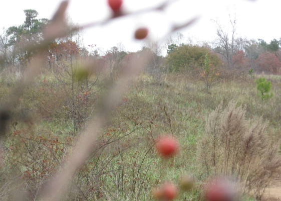
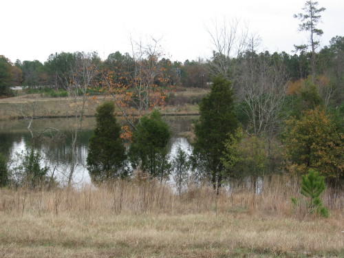
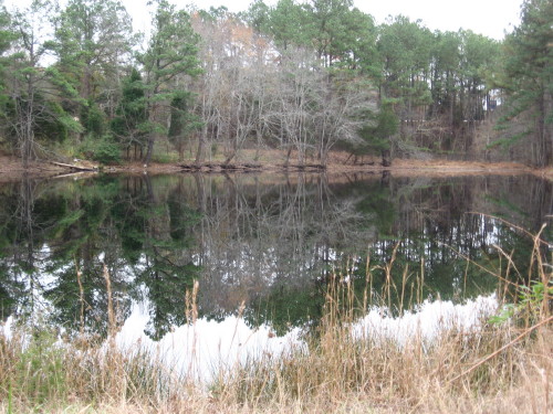
April 11, 2008

new draft ideas/old

Filed under: About & reflection — raleighnaturalist @ 12:12 am
This post is an artifact from when this site was the draft blog. Moved to this site on June 30, 2008.


Nesting sites.  This draft blog is the place for nesting sites – a personal project with direct relevance to this public project.

***********

Art’s garlic.  And Brandon’s folks.  A garlic post for Pecans and Mistletoe! local sustainable farming.

***********

the cutting of trees for federal mandate/Progress Energy guidelines

***********

the green nature center building, the epa building, the architect,s headquarters being done by Frank Harmon. institutional green. Ravenscroft’s green initiatives, led by Burt’s Bees John Replogle.

February 26, 2008

Atlantic Ave. and Hodges Road – industrial greenway (draft title)

Filed under: Central Raleigh, Greenways & Parks — Tags: , — raleighnaturalist @ 11:47 pm


Joe Miller’s recent column about the “bandit trails on the northeast section of the greenway expresses justified shock at the denuding of these hillsides right next to the greenway.  His concern is the trail bikers, whose magnificent structures are only hinted at in my  only pictures before their destruction.  I am sorry I didn’t photo more – I always felt a little guilty about creating evidence against them.  But now I wish their death-defying ravine crossing were documented.  Maybe, somewhere, they are.

But the larger picture surrounding this greenway is just about as fascinating…Longbranch, steep hillside engineering project ( under repair), the rock that turns Crabtree…and the shocking side by side shots of the winter view from the greenway then and now

http://blogs.newsobserver.com/joemiller/index.php?title=atlantic_avenue_trails_r_i_p&more=1&c=1&tb=1&pb=1

Final post as it appeared on Raleigh Rature’s 1st url.

published March 6, 2008

Bike Trails RIP highlights greenway loss


     The destruction of the bike trails described by Joe Miller is not just significant for these bandit bikers: all users of the greenway between Atlantic Avenue and Capital Boulevard should mourn the loss of this old farm site, whose naked hillsides (and future clapboard townhouses) are easily visible from the greenway. Riparian buffer is the term for the ecological value of these wooded areas contiguous with the greenway:  the trees absorb rain as well as pollution, shade and cool the waters of Crabtree.  Of course, the wildlife appreciates wooded areas next to the creek as well.

     This is a rich and variegated section of greenway with lots of interesting features in addition to the old farm site.  If you park off Capital Blvd. at its intersection with Yonkers Road, you will have to jump the barrier that tells you this problematic section of greenway deck needs shoring up (since repaired).  The risk seems minimal, and I’ve done it many times.  From this deck you can see the naked hillsides, and then follow that section of greenway as it heads toward Atlantic Avenue.

view of Joe Miller's "mohawk look" from greenway

view of Joe Miller's "mohawk look" from greenway

view from end of Six Forks

view from end of Six Forks

      All is not lost.  Below is a lovely path that begins at the base of the hillside deck and heads straight toward the southbound ramp off the beltline for Capital Boulevard.  If this stretch survives the development, that will be significant for this greenway section.


From the west end of the dramatically steep but problematic deck, you are looking toward Atlantic Avenue.  This stretch parallels Hodges Road and looks across Crabtree at the old site for the State Farmer’s Market.  Below you see a bog visible to the right of this stretch, and the cattail marsh between it and Atlantic.  This marsh has not kept its water – aside from the drought – since greenway construction occurred at its feed into Crabtree.  It is quickly becoming a scrub meadow.

« Newer PostsOlder Posts »

Blog at WordPress.com.