The Natural History of Raleigh

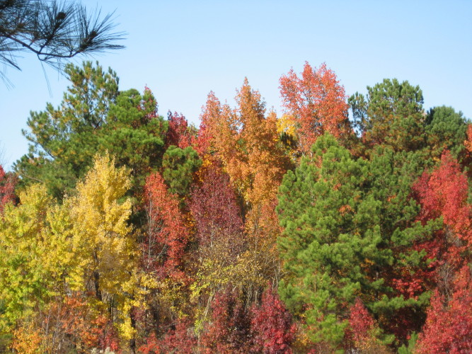
Raleigh lies at the edge of the Piedmont, edging the eastward coastal plain with long ridges of ancient, deformed and partly rotted granite called the Raleigh Belt on geology maps. Tucked into these ridges are gnarled streamcut valleys and occasional domes of harder, younger granite that have withstood the slow erosion of the Piedmont “peneplain” – the huge flattened wedge of material washed down over millions of years from the formerly towering Appalachian mountains. The topographical features of the Piedmont are not pushed or folded up, but instead cut into this gently sloping plateau by the slow relentless action of water. “Our landscape … deepens”, says Michael Godfrey in the bible of Piedmont naturalism. In Raleigh, this process has created a broad rippled dome that shoulders down to the beginnings of the Coastal Plain. The gently rolling hills of clay to our west and north represent a very different landscape from the sandy flats just to our south and east.
***********
I learned this topography bicycling around central Raleigh ( which, in the late fifties and early sixties, was all the Raleigh there was). I experienced this topography gravitationally and intuitively. As a teenager I discovered that downtown sat on a flattened dome, so that if I got a good start in the parking lot of Tabernacle Baptist Church on Person Street, I could ride all the way home from choir practice no hands, nearly all the way going downhill to my suburb at the edge of Crabtree Creek’s floodplain in East Raleigh. As a young child in this neighborhood, I has already fallen in love with Crabtree Creek, which along with Walnut Creek to the south, carves and shapes Raleigh’s lowlands. Crabtree became a strong symbol in my life, framing a big chunk of my childhood memories and haunting my early bad poetry.
***********
Now as an adult I find the city has paved and bridged all of my childhood creek haunts and more, providing a greenway system that maps the waterways and helps defend a buffer of streamside woods that is the final refuge for an astounding variety of wildlife and botanical wonders. These gar, coons, deer, turtles and woodpeckers eke out a co-existence with an emerging mid-sized city. Raleigh wants and tries so hard to be a “real” city, with all that implies. Yet it retains some of the best features of a Southern town, not least of which is close proximity to authentic rural landscape. And one of the best and most-promoted urban features is the park and greenway system. With much continued support, this resource can assure us of a unique place in the hierarchy of national destinations. Join me to explore Raleigh’s parks, greenways, and other natural areas. I promise you will be impressed by the sights and nature lore to be found inside the beltline or within a mile of it.
***********


Hi I’m a student studying my last year of landscape architecture all the way from California. I have an interest in looking into flooding problems and trying to understand how the urban landscape can be better designed to meet the needs of natural features, which in your interest is Crabtree creek. I found out that Raleigh is working on a project called “Capital Boulevard Corridor Study” and I’m sure you know about. The issues and the vision the city has interested me to pick this project as my senior study. I’m wondering if you could get back to me because I want to hear about your opinions and everything you know and what you like to see the city do as they take this area into consideration. I don’t know if you still check back here but I thought why not take a shot.
Comment by Lei Huey Yap Imperial — January 25, 2011 @ 6:29 am